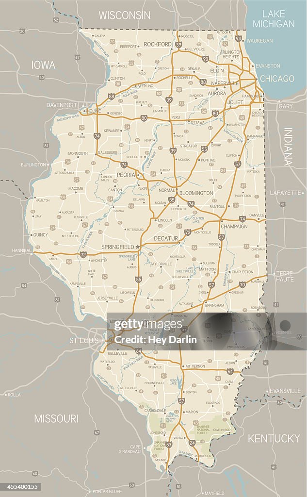
Illinois Map - stock illustration
A detailed map of Illinois state with cities, roads, major rivers, and lakes plus National Forests. Includes neighboring states and surrounding water.

Get this image in a variety of framing options at Photos.com.
PURCHASE A LICENCE
All Royalty-Free licences include global use rights, comprehensive protection, and simple pricing with volume discounts available
₹23,000.00
INR
DETAILS
Credit:
Creative #:
455400155
Licence type:
Collection:
DigitalVision Vectors
Max file size:
3222 x 5210 px (50.83 x 82.20 cm) - 161 dpi - 7 MB
Upload date:
Release info:
No release required
Categories: