Detailed World Map Divided into Six Continents - Accurate & Correct Version - stock illustration
Vector Illustration World Map on Transparent Background

Get this image in a variety of framing options at Photos.com.
PURCHASE A LICENCE
All Royalty-Free licences include global use rights, comprehensive protection, and simple pricing with volume discounts available
₹14,000.00
INR
Getty ImagesDetailed World Map Divided Into Six Continents Accurate Correct Version High-Res Vector Graphic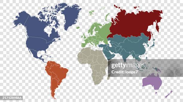 Download premium, authentic Detailed World Map Divided into Six Continents - Accurate & Correct Version stock illustrations from Getty Images. Explore similar high-resolution stock illustrations in our expansive visual catalogue.Product #:2171289866
Download premium, authentic Detailed World Map Divided into Six Continents - Accurate & Correct Version stock illustrations from Getty Images. Explore similar high-resolution stock illustrations in our expansive visual catalogue.Product #:2171289866₹14,000₹2,000
Getty Images
In stockDETAILS
Credit:
Creative #:
2171289866
Licence type:
Collection:
DigitalVision Vectors
Max file size:
7905 x 4415 px (66.93 x 37.38 cm) - 300 dpi - 4 MB
Upload date:
Location:
United States
Release info:
No release required
Categories:
- World Map,
- Transparent,
- Map,
- Europe,
- Asia,
- Country - Geographic Area,
- Plain Background,
- Planet Earth,
- The Americas,
- Vector,
- Flat Design,
- Illustration,
- National Border,
- North America,
- Continent - Geographic Area,
- Africa,
- Green Colour,
- Atlantic Islands,
- Atlantic Ocean,
- Australia,
- Blue,
- Cartography,
- Global,
- Grey Colour,
- Horizontal,
- Island,
- Italian Culture,
- Land,
- Land Feature,
- Mexico State,
- Modern,
- Multi Coloured,
- Navigational Equipment,
- No People,
- North,
- Oceania,
- Orange Colour,
- Pacific Islands,
- Pacific Ocean,
- Physical Geography,
- Planet - Space,
- Politics,
- Politics and Government,
- Polynesia,
- Purple,
- Red,
- Sea,
- South,
- South America,
- Topography,
- Transparent Background,