Fort Collins, Colorado Vector Map - stock illustration
Topographic / Road map of Fort Collins, Colorado, USA. Map data is open data via openstreetmap contributors. All maps are layered and easy to edit. Roads are editable stroke.

Get this image in a variety of framing options at Photos.com.
PURCHASE A LICENCE
All Royalty-Free licences include global use rights, comprehensive protection, and simple pricing with volume discounts available
₹14,000.00
INR
Getty ImagesFort Collins Colorado Vector Map High-Res Vector Graphic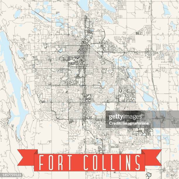 Download premium, authentic Fort Collins, Colorado Vector Map stock illustrations from Getty Images. Explore similar high-resolution stock illustrations in our expansive visual catalogue.Product #:1457723123
Download premium, authentic Fort Collins, Colorado Vector Map stock illustrations from Getty Images. Explore similar high-resolution stock illustrations in our expansive visual catalogue.Product #:1457723123₹14,000₹2,000
Getty Images
In stockDETAILS
Credit:
Creative #:
1457723123
Licence type:
Collection:
DigitalVision Vectors
Max file size:
4000 x 4000 px (33.87 x 33.87 cm) - 300 dpi - 13 MB
Upload date:
Location:
United States
Release info:
No release required
Categories:
- Colorado,
- Fort Collins,
- Map,
- Abstract,
- Aerial View,
- Architecture,
- Backgrounds,
- Blue,
- Blueprint,
- Boundary,
- Cartographer,
- Cartography,
- City,
- City Life,
- City Street,
- Cityscape,
- Colour Image,
- Colours,
- Data,
- Design,
- Diagram,
- Famous Place,
- Geographic Information System,
- Illustration,
- Infographic,
- Inset Map,
- Land,
- Major Road,
- National Border,
- Navigational Equipment,
- No People,
- Outline,
- Physical Geography,
- Plan - Document,
- Poster,
- Projection Mapping,
- River,
- Road,
- Road Junction,
- Road Map,
- Square - Composition,
- Street,
- Street Map,
- Topographic Map,
- Topography,
- USA,
- Urban Road,
- Urban Skyline,
- Vector,
- Water,