MI Van Buren County Vector Map Green - stock illustration
MI Van Buren County Vector Map Green. All source data is in the public domain. U.S. Census Bureau Census Tiger. Used Layers: areawater, linearwater, cousub, pointlm.

Get this image in a variety of framing options at Photos.com.
PURCHASE A LICENCE
All Royalty-Free licences include global use rights, comprehensive protection, and simple pricing with volume discounts available
₹14,000.00
INR
Getty ImagesMi Van Buren County Vector Map Green High-Res Vector Graphic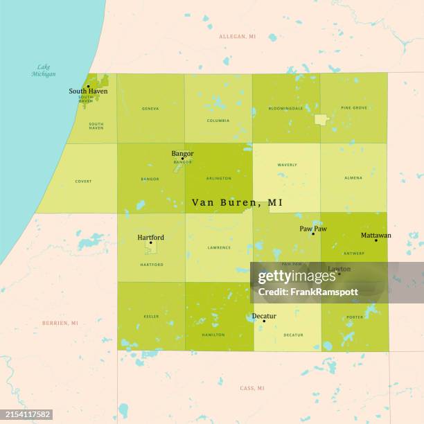 Download premium, authentic MI Van Buren County Vector Map Green stock illustrations from Getty Images. Explore similar high-resolution stock illustrations in our expansive visual catalogue.Product #:2154117582
Download premium, authentic MI Van Buren County Vector Map Green stock illustrations from Getty Images. Explore similar high-resolution stock illustrations in our expansive visual catalogue.Product #:2154117582₹14,000₹2,000
Getty Images
In stockDETAILS
Credit:
Creative #:
2154117582
Licence type:
Collection:
DigitalVision Vectors
Max file size:
4925 x 4925 px (41.70 x 41.70 cm) - 300 dpi - 5 MB
Upload date:
Location:
United States
Release info:
No release required
Categories:
- Cartography Illustrations,
- Colour Image Illustrations,
- Computer Graphic Illustrations,
- Design Illustrations,
- Digital Composite Illustrations,
- Digitally Generated Image Illustrations,
- District Illustrations,
- Illustration Illustrations,
- Lake Illustrations,
- Lake Michigan Illustrations,
- Lake Of The Woods Illustrations,
- Map Illustrations,
- Michigan Illustrations,
- National Border Illustrations,
- No People Illustrations,
- North America Illustrations,
- Physical Geography Illustrations,
- River Illustrations,
- Square - Composition Illustrations,
- Text Illustrations,
- Town Illustrations,
- USA Illustrations,
- Vector Illustrations,
- Water Illustrations,