Watercolor Map of the GTA, Greater Toronto Area with Metro Text, Ontario, Raster Illustration - stock illustration
A brightly coloured watercolor painted map of the GTA, which is the Greater Toronto Area in Ontario. Map says metro. Raster Illustration.

Get this image in a variety of framing options at Photos.com.
PURCHASE A LICENCE
All Royalty-Free licences include global use rights, comprehensive protection, and simple pricing with volume discounts available
₹14,000.00
INR
Getty ImagesWatercolor Map Of The Gta Greater Toronto Area With Metro Text Ontario Raster Illustration High-Res Vector Graphic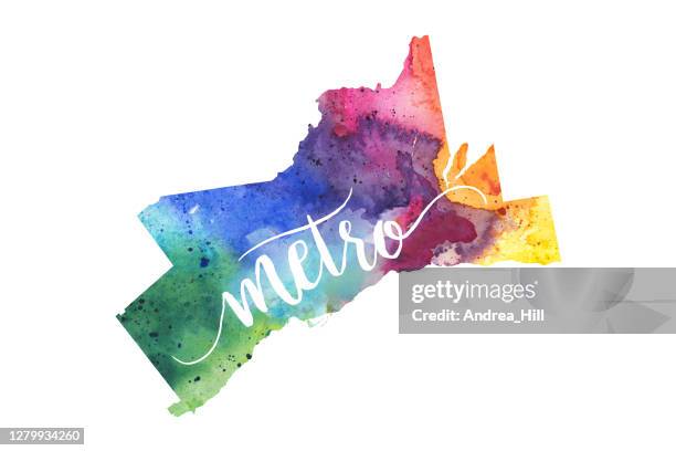 Download premium, authentic Watercolor Map of the GTA, Greater Toronto Area with Metro Text, Ontario, Raster Illustration stock illustrations from Getty Images. Explore similar high-resolution stock illustrations in our expansive visual catalogue.Product #:1279934260
Download premium, authentic Watercolor Map of the GTA, Greater Toronto Area with Metro Text, Ontario, Raster Illustration stock illustrations from Getty Images. Explore similar high-resolution stock illustrations in our expansive visual catalogue.Product #:1279934260₹14,000₹2,000
Getty Images
In stockDETAILS
Credit:
Creative #:
1279934260
Licence type:
Collection:
DigitalVision Vectors
Max file size:
8660 x 5773 px (73.32 x 48.88 cm) - 300 dpi - 9 MB
Upload date:
Location:
Canada
Release info:
Property released
Categories:
- Abstract Illustrations
- Art Illustrations
- Brampton - Canada Illustrations
- Bright Illustrations
- Bright Colour Illustrations
- Burlington - Ontario Illustrations
- Calligraphy Illustrations
- Canada Illustrations
- Cartography Illustrations
- Colour Image Illustrations
- Country - Geographic Area Illustrations
- Digitally Generated Image Illustrations
- Green Colour Illustrations
- Handwriting Illustrations
- Horizontal Illustrations
- Illustration Illustrations
- Map Illustrations
- Mississauga Illustrations
- Multi Coloured Illustrations
- National Border Illustrations
- No People Illustrations
- North America Illustrations
- Ontario - Canada Illustrations
- Paint Illustrations
- Painted Image Illustrations
- Painting - Art Product Illustrations
- Pastel Coloured Illustrations
- Physical Geography Illustrations
- Plain Background Illustrations
- Shape Illustrations
- Text Illustrations
- Textured
- The Americas Illustrations
- Toronto Illustrations
- Typescript Illustrations
- Watercolor on Paper Illustrations
- Watercolour Painting Illustrations
- Watercolour Paints Illustrations
- White Background Illustrations
- White Colour Illustrations