Antarctica 3D Render Topographic Map Neutral - stock photo
3D Render of a Topographic Map of the Antarctica.
All source data is in the public domain.
Color texture: Made with Natural Earth.
http://www.naturalearthdata.com/downloads/10m-raster-data/10m-cross-blend-hypso/
Relief texture: GMTED2010 data courtesy of USGS. URL of source image: https://topotools.cr.usgs.gov/gmted_viewer/viewer.htm
Water texture lakes: Made with Natural Earth.
https://www.naturalearthdata.com/downloads/10m-physical-vectors/
Water texture: HIU World Water Body Limits: http://geonode.state.gov/layers/?limit=100&offset=0&title__icontains=World%20Water%20Body%20Limits%20Detailed%202017Mar30

Get this image in a variety of framing options at Photos.com.
PURCHASE A LICENCE
All Royalty-Free licences include global use rights, comprehensive protection, and simple pricing with volume discounts available
₹14,000.00
INR
Getty ImagesAntarctica 3d Render Topographic Map Neutral High-Res Stock Photo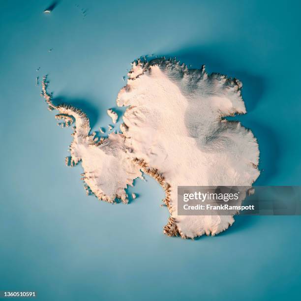 Download premium, authentic Antarctica 3D Render Topographic Map Neutral stock photos from Getty Images. Explore similar high-resolution stock photos in our expansive visual catalogue.Product #:1360510591
Download premium, authentic Antarctica 3D Render Topographic Map Neutral stock photos from Getty Images. Explore similar high-resolution stock photos in our expansive visual catalogue.Product #:1360510591₹14,000₹2,000
Getty Images
In stockDETAILS
Credit:
Creative #:
1360510591
Licence type:
Collection:
E+
Max file size:
5800 x 5800 px (49.11 x 49.11 cm) - 300 dpi - 16 MB
Upload date:
Location:
Antarctica
Release info:
Property released
Categories:
- Antarctica,
- Map,
- Aerial View,
- Continent - Geographic Area,
- Ice Sheet,
- South Pole,
- Ice,
- Digitally Generated Image,
- Landscape - Scenery,
- Three Dimensional,
- Antarctic Peninsula,
- Overhead View,
- Satellite View,
- Weddell Sea,
- Topography,
- Mt Vinson,
- Amundsen Sea,
- Computer Graphic,
- Ellsworth Mountains,
- Topographic Map,
- Cartography,
- Polar Climate,
- Ross Sea,
- Antarctic Ocean,
- Brown,
- Colour Image,
- Design,
- Digital Composite,
- Illustration,
- No People,
- Physical Geography,
- Square - Composition,