world map, north pole - north pole map stock illustrationsWorld Map, North PoleWorld Map, North Pole, Latitude
north pole planet earth blue white - north pole map stock illustrationsNorth Pole Planet Earth Blue WhiteGlobe - Navigational Equipment, North Pole, Map
earth globe, north pole view. - north pole map stock illustrationsEarth globe, North Pole view.Globe - Navigational Equipment, North Pole, Map
north pole planet earth - north pole map stock illustrationsNorth Pole Planet EarthMap, North Pole, Globe - Navigational Equipment
north pole planet earth countries - north pole map stock illustrationsNorth Pole Planet Earth CountriesNorth Pole, Map, Globe - Navigational Equipment
political map of the arctic region - north pole map stock illustrationsPolitical map of the arctic regionMap, North Pole, Politics
earth globe, north pole view. - north pole map stock illustrationsEarth globe, North Pole view.Globe - Navigational Equipment, Map, North Pole
earth globe focusing on north hemisphere and prime meridian. africa, asia, europe, north pole, greenland. - north pole map stock illustrationsEarth globe focusing on north hemisphere and prime meridian. Africa, Asia, Europe, North Pole, Greenland.Map, Globe - Navigational Equipment, North Pole
earth globe focusing on north hemisphere and prime meridian. africa, asia, europe, north pole, greenland. - north pole map stock illustrationsEarth globe focusing on north hemisphere and prime meridian. Africa, Asia, Europe, North Pole, Greenland.North Pole, Globe - Navigational Equipment, Map
antique illustration: fridtjof nansen north pole expedition map - north pole map stock illustrationsAntique illustration: Fridtjof Nansen North Pole Expedition mapNorth Pole, Map
maps of the arctic and antarctica - 19th century - north pole map stock illustrationsMaps of the Arctic and Antarctica - 19th CenturyMap, North Pole, World Map
arctic circle - north pole map stock illustrationsArctic CircleGlobe - Navigational Equipment, Illustration, Map
north polar chart 1897 - north pole map stock illustrationsNorth Polar Chart 1897Map, North Pole, World Map
polar expedition by fridtjof nansen, wood engraving, published in 1899 - north pole map stock illustrationsPolar expedition by Fridtjof Nansen, wood engraving, published in 1899Map, North Pole, Norway
victorian map of the north polar regions - north pole map stock illustrationsVictorian map of the North Polar RegionsNautical Chart, Map, North Pole
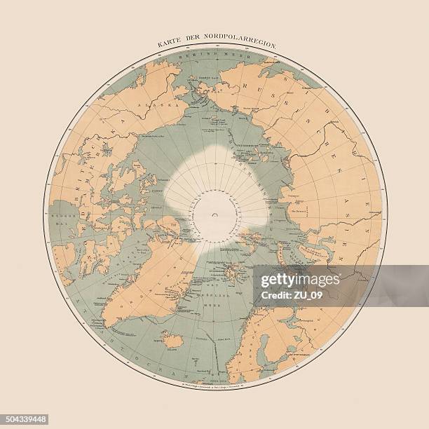
ancient map of the arctic region, lithograph, published in 1883 - north pole map stock illustrationsAncient map of the Arctic Region, lithograph, published in 1883Map, Globe - Navigational Equipment, Old-fashioned
antique illustration of greenland and iceland bathymetry map - north pole map stock illustrationsAntique illustration of Greenland and Iceland bathymetry mapMap, North Pole
antique map of aurora borealis zones and north pole - north pole map stock illustrationsAntique map of aurora borealis zones and north poleNorth Pole, Map
map of the north polar region - north pole map stock illustrationsMap of the North Polar RegionMap, Old-fashioned, North Pole
earth globe, northern hemisphere view. - north pole map stock illustrationsEarth globe, northern hemisphere view.Globe - Navigational Equipment, North Pole, Map
glacier areas of the earth 1894 - north pole map stock illustrationsGlacier areas of the earth 1894Map, Globe - Navigational Equipment, World Map
earth globe focusing on north america and north pole. - north pole map stock illustrationsEarth globe focusing on North America and North Pole.Globe - Navigational Equipment, USA, North America
map of the polar regions 1878 - north pole map stock illustrationsMap of the Polar regions 1878Map, North Pole, Exploration
digital illustration of map showing position of arctic ocean and surrounding continents - north pole map stock illustrationsDigital illustration of map showing position of Arctic Ocean and surrounding continentsMap, North Pole, Canada
earth globe focusing on asia. - north pole map stock illustrationsEarth globe focusing on Asia.Globe - Navigational Equipment, Map, India
antique map of the world (1898) - north pole map stock illustrationsAntique map of the World (1898)World Map, Globe - Navigational Equipment, Map
north america, artwork - north pole map stock illustrationsNorth America, artworkNorth Pole, Map, Planet - Space
program of the german and english south polar expedition - north pole map stock illustrationsProgram of the German and English South Polar ExpeditionMap, Engraved Image, Winter
svalbard map. round icon with long shadow on red or blue background - north pole map stock illustrationsSvalbard map. Round icon with long shadow on red or blue backgroundMap, North Pole
probable airship route to north pole - north pole map stock illustrationsProbable airship route to north pole
north polar chart 1895 - north pole map stock illustrationsNorth Polar Chart 1895Map, Old-fashioned, Globe - Navigational Equipment
arctic region map. vector colored map of arctic region - north pole map stock illustrationsArctic Region Map. Vector colored map of Arctic RegionMap, North Pole
arctic ocean and adjacent countries, lithograph, published in 1897 - north pole map stock illustrationsArctic Ocean and adjacent countries, lithograph, published in 1897North Pole, Explorer, Multi Coloured
earth globe, northern hemisphere view. - north pole map stock illustrationsEarth globe, northern hemisphere view.North Pole, Globe - Navigational Equipment, Map
arctic region map. vector colored map of arctic region - north pole map stock illustrationsArctic Region Map. Vector colored map of Arctic RegionMap, North Pole, Vector
topographical map of the world, water colour illustration - north pole map stock illustrationsTopographical map of the World, water colour illustrationWorld Map, Map
svalbard map on circle button with long shadow - north pole map stock illustrationsSvalbard map on circle button with long shadowMap, North Pole
arctic region map. vector colored map of arctic region - north pole map stock illustrationsArctic Region Map. Vector colored map of Arctic RegionMap, Vector, North Pole
arctic region map. vector colored map of arctic region - north pole map stock illustrationsArctic Region Map. Vector colored map of Arctic RegionMap, Canada, North Pole
antique illustration, mathematics and geometry: chorography, parallel and central projection - north pole map stock illustrationsAntique illustration, mathematics and geometry: Chorography, Parallel and central projectionNorth Pole, Map, Globe - Navigational Equipment
polar projection of the world map 1888 - north pole map stock illustrationsPolar projection of the world map 1888Globe - Navigational Equipment, North Pole, World Map
fridtjof nansen's northern polar expedition (1893-1896), wood engraving, published 1898 - north pole map stock illustrationsFridtjof Nansen's northern polar expedition (1893-1896), wood engraving, published 1898Map, Exploration, North Pole
map of the world 1869 - north pole map stock illustrationsMap of the world 1869Old-fashioned, World Map, Globe - Navigational Equipment
world civilization - north pole map stock illustrationsWorld civilizationMap, Globe - Navigational Equipment, Mountain
globe and communication icons. editable stroke. - north pole map stock illustrationsGlobe and Communication Icons. Editable stroke.Icon Symbol, Globe - Navigational Equipment, World Map
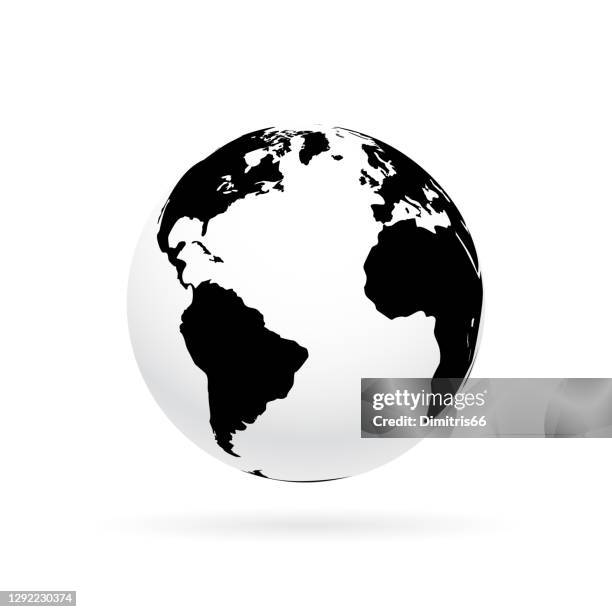
simple earth globe with americas, europe and africa visible. photorealistic world globe isolated on white. - north pole map stock illustrationsSimple earth globe with Americas, Europe and Africa visible. Photorealistic world globe isolated on white.Icon Symbol, World Map, South America
simple earth globe with americas, europe and africa visible. - north pole map stock illustrationsSimple earth globe with Americas, Europe and Africa visible.Planet - Space, Three Dimensional, World Map
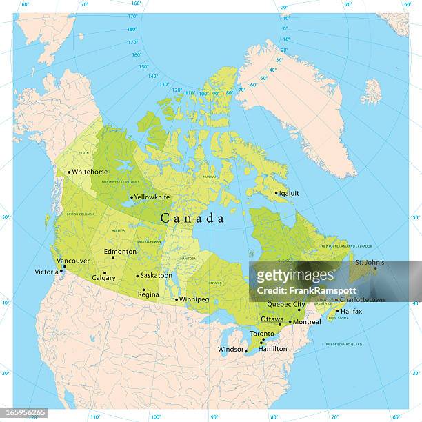
map of canada with watercolor texture - raster illustration - north pole map stock illustrationsMap of Canada with Watercolor Texture - Raster IllustrationCanada, Map
greenland map. round icon with long shadow on red or blue background - north pole map stock illustrationsGreenland map. Round icon with long shadow on red or blue backgroundMap, North Pole
antique scientific engraving illustration: north pole map - north pole map stock illustrationsAntique scientific engraving illustration: North Pole mapMap, North Pole
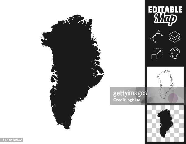
greenland maps for design. easily editable - north pole map stock illustrationsGreenland maps for design. Easily editableMap, Outline, Contour Line
earth globe, north pole view. - north pole map stock illustrationsEarth globe, North Pole view.Circle, Map, North Pole
polar projection of the world map 1856 - north pole map stock illustrationsPolar projection of the world map 1856North Pole, Map
map of the arctic region 1897 - north pole map stock illustrationsMap of the Arctic Region 1897Map, North Pole
earth globe focusing on north america and north pole. - north pole map stock illustrationsEarth globe focusing on North America and North Pole.Globe - Navigational Equipment, Canada, North America
3d rendering of planet earth with clouds, centered on the north pole with north america and asia partially visible. - north pole map stock illustrations3D rendering of planet Earth with clouds, centered on the North Pole with North America and Asia partially visible.Globe - Navigational Equipment, Sea