svalbard map designed with lines on white background - north pole map stock illustrationsSvalbard map designed with lines on white background
map of the world in hemispheres 1898 - north pole map stock illustrationsMap of the world in Hemispheres 1898
greenland map network - bright mesh on dark blue background - north pole map stock illustrationsGreenland map network - Bright mesh on dark blue background
svalbard map drawn on chalkboard - blackboard - north pole map stock illustrationsSvalbard map drawn on chalkboard - Blackboard
svalbard map with black outline and shadow on white background - north pole map stock illustrationsSvalbard map with black outline and shadow on white background
greenland map sticker on gray background - north pole map stock illustrationsGreenland map sticker on gray backgroundSticker
svalbard map with long shadow on textured yellow background - north pole map stock illustrationsSvalbard map with long shadow on textured yellow background
topographic map -- northern hemisphere - north pole map stock illustrationsTopographic Map -- Northern Hemisphere
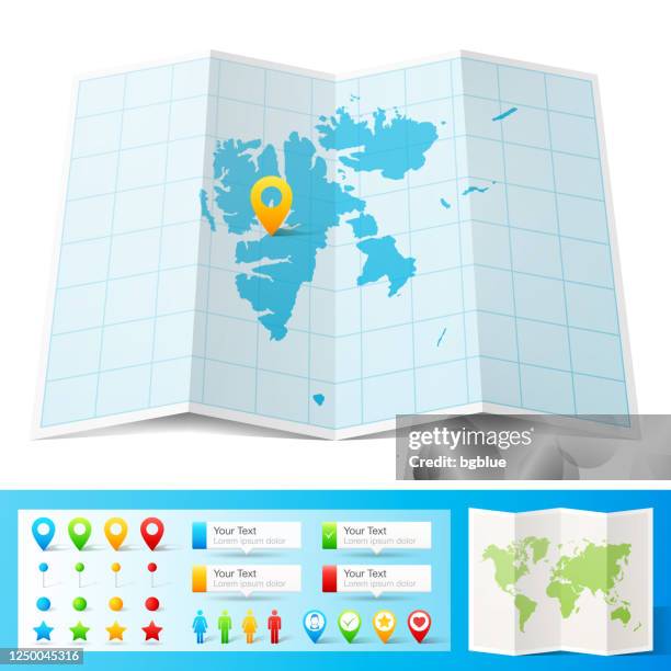
svalbard map with location pins isolated on white background - north pole map stock illustrationsSvalbard Map with location pins isolated on white Background
earth globe focusing on north hemisphere and prime meridian. africa, asia, europe, north pole, greenland. - north pole map stock illustrationsEarth globe focusing on north hemisphere and prime meridian. Africa, Asia, Europe, North Pole, Greenland.
3d illustration of planet earth, centered on north america. - north pole map stock illustrations3D illustration of planet Earth, centered on North America.
map of greenland with infographic elements of coronavirus outbreak. covid-19 data. - north pole map stock illustrationsMap of Greenland with infographic elements of coronavirus outbreak. COVID-19 data.
map of svalbard with infographic elements of coronavirus outbreak. covid-19 data. - north pole map stock illustrationsMap of Svalbard with infographic elements of coronavirus outbreak. COVID-19 data.
svalbard maps of dots - 4 different halftone styles - north pole map stock illustrationsSvalbard maps of dots - 4 different halftone stylesAbstract, Map, Pattern
graphic map of the world from north pole orientation - north pole map stock illustrationsGraphic map of the world from North Pole orientation
svalbard map hand drawn - purple with black outline - trendy design - north pole map stock illustrationsSvalbard map hand drawn - Purple with black outline - Trendy designVector
earth globe focusing on asia. - north pole map stock illustrationsEarth globe focusing on Asia.Globe - Navigational Equipment
map of the world in hemispheres 1877 - north pole map stock illustrationsMap of the world in hemispheres 1877World Map, Hemisphere
map of the world in hemispheres 1898 - north pole map stock illustrationsMap of the world in Hemispheres 1898Old-fashioned, Globe - Navigational Equipment, World Map
antique map of the arctic circle on old paper - north pole map stock illustrationsAntique Map of the Arctic Circle on Old Paper
earth globe on meadow, ecology concept - north pole map stock illustrationsEarth globe on meadow, ecology concept
svalbard map icon - flat design with long shadow - north pole map stock illustrationsSvalbard map icon - Flat Design with Long ShadowCircle, Icon Symbol, Three Dimensional
earth globe on meadow, ecology concept - north pole map stock illustrationsEarth globe on meadow, ecology concept
the world in hemispheres 1889 - north pole map stock illustrationsThe world in Hemispheres 1889World Map
earth globe focusing on north america and north pole. - north pole map stock illustrationsEarth globe focusing on North America and North Pole.Globe - Navigational Equipment, USA, Map
arctic region map. vector colored map of arctic region - north pole map stock illustrationsArctic Region Map. Vector colored map of Arctic RegionNorth Pole, Map
simple earth globe with americas, europe and africa visible. photorealistic world globe isolated on white. - north pole map stock illustrationsSimple earth globe with Americas, Europe and Africa visible. Photorealistic world globe isolated on white.Globe - Navigational Equipment, Three Dimensional, World Map
antique illustration, mathematics and geometry: chorography, parallel and central projection - north pole map stock illustrationsAntique illustration, mathematics and geometry: Chorography, Parallel and central projectionGlobe - Navigational Equipment, Engraved Image, Illustration
earth globe focusing on north america and north pole. - north pole map stock illustrationsEarth globe focusing on North America and North Pole.Globe - Navigational Equipment, North America, USA
earth globe focusing on north america and north pole. - north pole map stock illustrationsEarth globe focusing on North America and North Pole.Globe - Navigational Equipment, USA
earth globe focusing on the americas. - north pole map stock illustrationsEarth globe focusing on the Americas.Globe - Navigational Equipment, South America, Mexico
earth globe focusing on north america and north pole. - north pole map stock illustrationsEarth globe focusing on North America and North Pole.Globe - Navigational Equipment, North Pole, World Map
earth globe focusing on north hemisphere and prime meridian. africa, asia, europe, north pole, canada, greenland. - north pole map stock illustrationsEarth globe focusing on north hemisphere and prime meridian. Africa, Asia, Europe, North Pole, Canada, Greenland.Globe - Navigational Equipment, World Map, White Background
earth globe focusing on north america and north pole. - north pole map stock illustrationsEarth globe focusing on North America and North Pole.Globe - Navigational Equipment, Map
earth globe focusing on asia. - north pole map stock illustrationsEarth globe focusing on Asia.Globe - Navigational Equipment, Map, Vector
earth globe focusing on the americas. - north pole map stock illustrationsEarth globe focusing on the Americas.Globe - Navigational Equipment, Latitude, Three Dimensional
earth globe focusing on north america and north pole. - north pole map stock illustrationsEarth globe focusing on North America and North Pole.Globe - Navigational Equipment, North America
earth globe focusing on asia. - north pole map stock illustrationsEarth globe focusing on Asia.Globe - Navigational Equipment, Half Tone
earth globe focusing on north america and north pole. - north pole map stock illustrationsEarth globe focusing on North America and North Pole.Globe - Navigational Equipment, Canada, USA
simple earth globe with americas, europe and africa visible. - north pole map stock illustrationsSimple earth globe with Americas, Europe and Africa visible.Globe - Navigational Equipment, Planet - Space
earth globe focusing on north america and north pole. - north pole map stock illustrationsEarth globe focusing on North America and North Pole.Canada, USA, Alaska - US State
earth globe, northern hemisphere view. - north pole map stock illustrationsEarth globe, northern hemisphere view.North Pole, Globe - Navigational Equipment
earth globe, northern hemisphere view. - north pole map stock illustrationsEarth globe, northern hemisphere view.Globe - Navigational Equipment, North America
map of canada with watercolor texture - raster illustration - north pole map stock illustrationsMap of Canada with Watercolor Texture - Raster IllustrationMap, Canada
map of the world 1889 - north pole map stock illustrationsMap of the world 1889World Map, Map, South America
map of world 1889 - north pole map stock illustrationsMap of world 1889Map, Atlantic Ocean, Illustration
earth globe focusing on the americas. - north pole map stock illustrationsEarth globe focusing on the Americas.Globe - Navigational Equipment, Map
map of world traffic map and currents 1896 - north pole map stock illustrationsMap of world traffic map and currents 1896Chart, Pacific Ocean, Map
earth globe focusing on north hemisphere and prime meridian. africa, asia, europe, north pole, canada, greenland. - north pole map stock illustrationsEarth globe focusing on north hemisphere and prime meridian. Africa, Asia, Europe, North Pole, Canada, Greenland.Globe - Navigational Equipment, North Pole
arctic region map. vector colored map of arctic region - north pole map stock illustrationsArctic Region Map. Vector colored map of Arctic RegionMap
earth globe focusing on europe, africa and middle east. - north pole map stock illustrationsEarth globe focusing on Europe, Africa and Middle East.Globe - Navigational Equipment, North Pole, Asia
the temperatures of the world 1877 - north pole map stock illustrationsThe temperatures of the world 1877Map, Weather
map of the world 1876 - north pole map stock illustrationsMap of the world 1876Old-fashioned, World Map, Map
earth globe focusing on north america and north pole. - north pole map stock illustrationsEarth globe focusing on North America and North Pole.Globe - Navigational Equipment, Map, Canada