usa map in retro vintage style - old textured paper - dc map stock illustrationsUSA map in retro vintage style - old textured paperMap
stippled usa map - stippling art - dotwork - dotted style - dc map stock illustrationsStippled USA map - Stippling Art - Dotwork - Dotted styleMap, White Background
washington county, maryland. map with blue and red people - dc map stock illustrationsWashington County, Maryland. Map with blue and red People
district of columbia 3d map on gray background - dc map stock illustrationsDistrict of Columbia 3D Map on gray background
usa map with sunbeams on white background - dc map stock illustrationsUSA map with sunbeams on white background
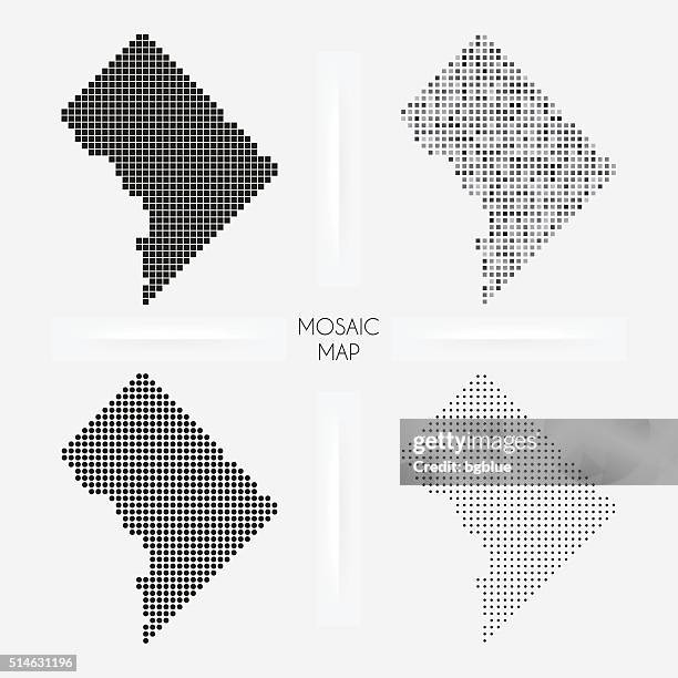
district of columbia maps - mosaic squarred and dotted - dc map stock illustrationsDistrict of Columbia maps - Mosaic squarred and dotted
map of united states - infographic vector - dc map stock illustrationsMap of United States - Infographic VectorNew York City
district of columbia map hand drawn on white background - trendy design - dc map stock illustrationsDistrict of Columbia map hand drawn on white background - Trendy design
district of columbia map connection - network mesh on white background - dc map stock illustrationsDistrict of Columbia map connection - Network mesh on white background
vintage district of columbia map with retro style, on dusty white background - dc map stock illustrationsVintage District of Columbia map with retro style, on dusty white background
washington county, maryland. maps for design. blank, white and black backgrounds - dc map stock illustrationsWashington County, Maryland. Maps for design. Blank, white and black backgrounds
united states location marker infographic map - dc map stock illustrationsUnited States Location Marker Infographic Map
map of the united states of america with the borders of each state. - dc map stock illustrationsMap of the United States of America with the borders of each state.Map
north america with detail and name of each country. - dc map stock illustrationsNorth America with detail and name of each country.Map
high detailed arctic region map with national borders of canada, usa, russia, greenland, norway, sweden, finland, united kingdom, ireland, iceland, japan - dc map stock illustrationsHigh detailed Arctic Region map with National borders of Canada, USA, Russia, Greenland, Norway, Sweden, Finland, United Kingdom, Ireland, Iceland, JapanMap, World Map
usa map on financial graph with red downtrend line - dc map stock illustrationsUSA map on financial graph with red downtrend line
map of the united states of america on a transparent background and a black background. - dc map stock illustrationsMap of the United States of America on a transparent background and a black background.
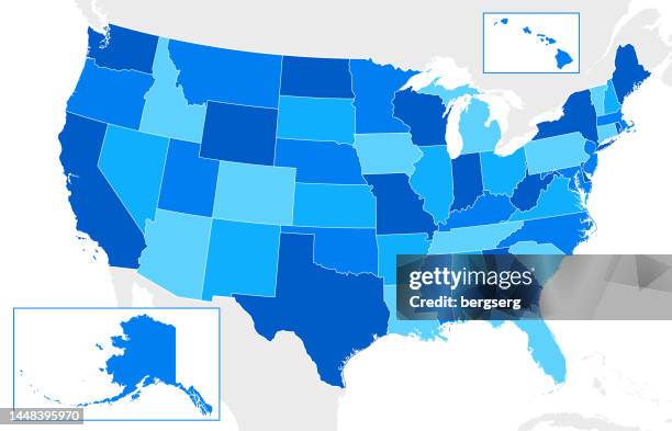
usa high detailed blue map with regions - dc map stock illustrationsUSA High detailed Blue map with RegionsMap
world map geometric abstract stylized. isolated on dark background. vector stock illustration - dc map stock illustrationsWorld Map Geometric Abstract Stylized. Isolated on Dark Background. Vector Stock IllustrationWorld Map, Map
world map geometric abstract stylized. isolated on white background. vector stock illustration - dc map stock illustrationsWorld Map Geometric Abstract Stylized. Isolated on White Background. Vector Stock IllustrationWorld Map
retro map of usa. vector illustration with national flag and navigation icons - dc map stock illustrationsRetro Map of USA. Vector Illustration with national flag and navigation iconsMap
map of united states - infographic vector - dc map stock illustrationsMap of United States - Infographic VectorVector, Map
guilloche pattern - backgrounds watermark - capitol, flag and map of usa - dc map stock illustrationsGuilloche pattern - backgrounds watermark - Capitol, flag and map of USAGuilloche, Pattern, Capitol Building - Washington DC
capitol. world landmarks - line icon. vector stock illustration - dc map stock illustrationsCapitol. World Landmarks - Line Icon. Vector Stock IllustrationCapitol Building - Washington DC
usa map. detailed map with divided states, with separate layers for each state. vector - dc map stock illustrationsUSA map. Detailed map with divided states, with separate layers for each state. VectorMap, Vector
usa maps of dots - 4 different halftone styles - dc map stock illustrationsUSA maps of dots - 4 different halftone stylesMap
usa - detailed map with regions and cities of the country. - dc map stock illustrationsUSA - detailed map with regions and cities of the country.Map, North America, Vector
usa - detailed map with country regions. - dc map stock illustrationsUSA - detailed map with country regions.Map, Vector
vintage map of usa with borders and national flag - dc map stock illustrationsVintage Map of USA with borders and national flagMap, Vector
vector usa administrative map isolated - dc map stock illustrationsVector USA Administrative Map isolatedMap
usa map with separated states and in green color. - dc map stock illustrationsUSA map with separated states and in green color.Map, Vector