navy patrol pilots commander suydam and ensign graham checking map of mackinac straits / view from cockpit of ships below / aerials ships in ice /... - aerial map elements stock videos & royalty-free footage00:50US Navy patrol pilots view ships trying to push through ice in the Straits of MackinacSurveillance, 1940-1949
//www.facebook.com/photo/?fbid=10168240826845492&set=gm.6522955494439342&idorvanity=349623345105952 heavy rainfall throughout... - aerial map elements stock videos & royalty-free footage01:00Drone Footage Shows Significant Flooding in Southwest Michigan Town
4k world map loop background - aerial map elements stock videos & royalty-free footage00:074k World Map loop Background
4k world map loop background - aerial map elements stock videos & royalty-free footage00:074k World Map loop BackgroundDigitally Generated Image, Digital Animation, Europe
4k world map loop background - aerial map elements stock videos & royalty-free footage00:074k World Map loop Background
4k world map loop background - aerial map elements stock videos & royalty-free footage00:074k World Map loop Background
future of the connected world - aerial map elements stock videos & royalty-free footage00:10Future of The Connected WorldGlobal Business, Global
turkish scientists carried out atmospheric research in and around horseshoe island of antarctica as part of the 7th national antarctic science... - aerial map elements stock videos & royalty-free footage04:26Turkish scientists conduct atmospheric research in Horseshoe Island of AntarcticStation, Antarctica, South Pole
turkish scientists carried out atmospheric research in and around horseshoe island of antarctica as part of the 7th national antarctic science... - aerial map elements stock videos & royalty-free footage04:36Turkish scientists conduct atmospheric research in and around Horseshoe Island of Antarctic
italy map background stock video - aerial map elements stock videos & royalty-free footage00:10Italy Map Background stock video
italy map background stock video - aerial map elements stock videos & royalty-free footage00:10Italy Map Background stock video
italy map background stock video - aerial map elements stock videos & royalty-free footage00:10Italy Map Background stock videoItaly
india map digital 4k background - aerial map elements stock videos & royalty-free footage00:20India map digital 4k backgroundArtificial Intelligence
india map digital 4k background - aerial map elements stock videos & royalty-free footage00:20India map digital 4k backgroundAnimated Video, Highlighter Pen
saudi arabia map connections ,digital data processing background 4k stock video - aerial map elements stock videos & royalty-free footage00:20Saudi Arabia Map Connections ,Digital Data Processing Background 4K stock video
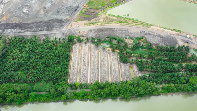
drone flying over camping hill area - aerial map elements stock videos & royalty-free footage00:18drone Flying over camping hill area
the everglades: conserving a balanced community - part 2 of 19. it is only a few inches deep, yet it is a river - a very shallow, very long river flowing from lake okeechobee down to florida bay. this tour of the everglades features aerial views of the cy - aerial map elements stock videos & royalty-free footage00:32The Everglades: Conserving a Balanced Community - part 2 of 19. It is only a few inches deep, yet it is a river - a very shallow, very long river flowing from Lake Okeechobee down to Florida Bay. This tour of the Everglades features aerial views of the cyStorm, Everglades National Park, Reef
learning to read maps (2nd edition) - part 20 of 21. a fanciful story done in mime and featuring a lost clown helps the younger viewer understand how maps are useful; how maps are pictorial representations of real places; how physical features are represe - aerial map elements stock videos & royalty-free footage00:35Learning to Read Maps (2nd edition) - part 20 of 21. A fanciful story done in mime and featuring a lost clown helps the younger viewer understand how maps are useful; how maps are pictorial representations of real places; how physical features are represe
abstract geometric futuristic concept 3d map of yemen - aerial map elements stock videos & royalty-free footage00:20Abstract geometric futuristic concept 3d Map of Yemen
the language of maps- part 17 of 18. combines aerial photography with topographic models and several different kinds of maps to show that the language of maps is made up of symbols representing natural and man-made features of a given area of the earth's - aerial map elements stock videos & royalty-free footage00:28The Language of Maps- part 17 of 18. Combines aerial photography with topographic models and several different kinds of maps to show that the language of maps is made up of symbols representing natural and man-made features of a given area of the earth'sMap, Cartoon
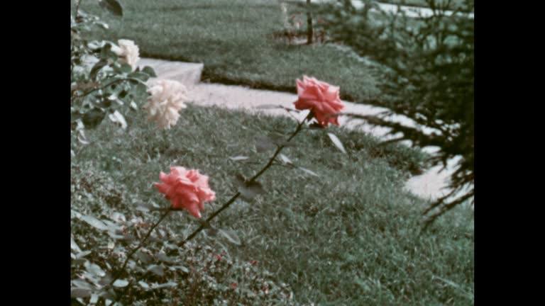
the language of maps- part 16 of 18. combines aerial photography with topographic models and several different kinds of maps to show that the language of maps is made up of symbols representing natural and man-made features of a given area of the earth's - aerial map elements stock videos & royalty-free footage00:33The Language of Maps- part 16 of 18. Combines aerial photography with topographic models and several different kinds of maps to show that the language of maps is made up of symbols representing natural and man-made features of a given area of the earth'sMid-Century Style, Rose - Flower, Archival
vacation animation - aerial map elements stock videos & royalty-free footage00:10Vacation animationAnimated Video
what makes weather? (2nd edition) - part 4 of 24. vivid satellite footage, helpful animation, and live action and time-lapse photography show the working forces that produce weather. the film examines the movement of winds and air masses caused by the une - aerial map elements stock videos & royalty-free footage00:36What Makes Weather? (2nd edition) - part 4 of 24. Vivid satellite footage, helpful animation, and live action and time-lapse photography show the working forces that produce weather. The film examines the movement of winds and air masses caused by the uneHeat - Temperature, Major Road
"paramount news issue no 48" / title: "ohio river on rampage!" / wipe/ title: "truman inspects area; marietta hit hard" superimposed over mpov... - aerial map elements stock videos & royalty-free footage01:24Heavy floods rampage through Ohio cities; Pres. Harry Truman makes a flying tour of the flooded area, following the Ohio River1950-1959, Flood, Cincinnati
title superimposed on a map of britain, "europe's tragic storm" & "camera reports from ... the netherlands, belgium, england" over a flooded house /... - aerial map elements stock videos & royalty-free footage01:34Flooding in the Netherlands and England, 1953Canvey Island, Flood
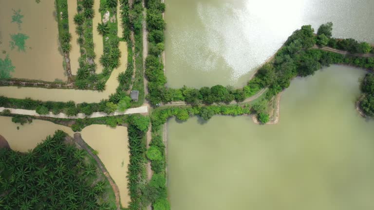
dolly right shot of rice paddy fields with sunlight view from aerial - aerial map elements stock videos & royalty-free footage00:13Dolly right shot of rice paddy fields with sunlight view from aerial
dolly right shot of rice paddy fields with sunlight view from aerial - aerial map elements stock videos & royalty-free footage00:23Dolly right shot of rice paddy fields with sunlight view from aerial
dolly right shot of rice paddy fields with sunlight view from aerial - aerial map elements stock videos & royalty-free footage00:20Dolly right shot of rice paddy fields with sunlight view from aerial
dolly right shot of rice paddy fields with sunlight view from aerial - aerial map elements stock videos & royalty-free footage00:23Dolly right shot of rice paddy fields with sunlight view from aerial
dolly right shot of rice paddy fields with sunlight view from aerial - aerial map elements stock videos & royalty-free footage00:15Dolly right shot of rice paddy fields with sunlight view from aerial
aerial shot of a river surrounded by mountains and forests in thailand, asia - aerial map elements stock videos & royalty-free footage00:10Aerial shot of A river surrounded by mountains and forests in Thailand, Asia
aerial shot of a river surrounded by mountains and forests in thailand, asia - aerial map elements stock videos & royalty-free footage00:17Aerial shot of A river surrounded by mountains and forests in Thailand, Asia
digital global communications and pipe connection to big data. motion graphic of science futuristic, metaverse technology, aerial view data and digital background. - aerial map elements stock videos & royalty-free footage00:20Digital global communications and pipe connection to big data. Motion graphic of science futuristic, metaverse technology, aerial view data and digital background.
digital global communications and pipe connection to big data. motion graphic of science futuristic, metaverse technology, aerial view data and digital background. - aerial map elements stock videos & royalty-free footage00:20Digital global communications and pipe connection to big data. Motion graphic of science futuristic, metaverse technology, aerial view data and digital background.
digital global communications and pipe connection to big data. motion graphic of science futuristic, metaverse technology, aerial view data and digital background. - aerial map elements stock videos & royalty-free footage00:20Digital global communications and pipe connection to big data. Motion graphic of science futuristic, metaverse technology, aerial view data and digital background.
digital global communications and pipe connection to big data. motion graphic of science futuristic, metaverse technology, aerial view data and digital background. - aerial map elements stock videos & royalty-free footage00:20Digital global communications and pipe connection to big data. Motion graphic of science futuristic, metaverse technology, aerial view data and digital background.
digital global communications and pipe connection to big data. motion graphic of science futuristic, metaverse technology, aerial view data and digital background. - aerial map elements stock videos & royalty-free footage00:20Digital global communications and pipe connection to big data. Motion graphic of science futuristic, metaverse technology, aerial view data and digital background.
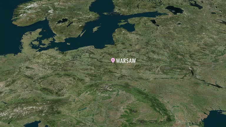
warsaw zoom-in animation - aerial map elements stock videos & royalty-free footage00:20Warsaw zoom-in animation
warsaw zoom-in animation - aerial map elements stock videos & royalty-free footage00:20Warsaw zoom-in animationCity, Cityscape, Satellite
cameraman's story - 'i saw it happen' - a city's fight for life" / united states map / section of map, with pointer stick moving along the missouri... - aerial map elements stock videos & royalty-free footage03:00Missouri and Mississippi River flooding
4k technologic world map - loopable - aerial map elements stock videos & royalty-free footage00:134K Technologic world map - Loopable
4k technologic world map - loopable - aerial map elements stock videos & royalty-free footage00:134K Technologic world map - Loopable
4k technologic world map - loopable - aerial map elements stock videos & royalty-free footage00:134K Technologic world map - LoopableArtificial Intelligence
4k technologic world map - loopable - aerial map elements stock videos & royalty-free footage00:134K Technologic world map - Loopable
4k technologic world map - loopable - aerial map elements stock videos & royalty-free footage00:134K Technologic world map - Loopable
4k technologic world map - loopable - aerial map elements stock videos & royalty-free footage00:134K Technologic world map - Loopable
4k technologic background- world map animation - loopable - aerial map elements stock videos & royalty-free footage00:134K Technologic background- world map animation - loopable
4k technologic background- world map animation - loopable - aerial map elements stock videos & royalty-free footage00:134K Technologic background- world map animation - loopable
4k technologic background- world map animation - loopable - aerial map elements stock videos & royalty-free footage00:134K Technologic background- world map animation - loopable
4k technologic background- world map animation - loopable - aerial map elements stock videos & royalty-free footage00:134K Technologic background- world map animation - loopable
4k technologic background- world map animation - loopable - aerial map elements stock videos & royalty-free footage00:134K Technologic background- world map animation - loopableAbstract, Pattern
4k technologic background- world map animation - loopable - aerial map elements stock videos & royalty-free footage00:134K Technologic background- world map animation - loopable
4k technologic background- world map animation - loopable - aerial map elements stock videos & royalty-free footage00:134K Technologic background- world map animation - loopable
4k technologic background- world map animation - loopable - aerial map elements stock videos & royalty-free footage00:134K Technologic background- world map animation - loopableAbstract, Backgrounds
orbiting moon and earth in space stock video - aerial map elements stock videos & royalty-free footage00:18Orbiting moon and earth in space stock video
orbiting moon and earth in space stock video - aerial map elements stock videos & royalty-free footage00:18Orbiting moon and earth in space stock video
global network concept. iot(internet of things). ict(information communication network). network of physical devices with network connectivity - aerial map elements stock videos & royalty-free footage00:25Global network concept. IoT(Internet of Things). ICT(Information Communication Network). Network of physical devices with network connectivity
global network concept. iot(internet of things). ict(information communication network). network of physical devices with network connectivity - aerial map elements stock videos & royalty-free footage00:25Global network concept. IoT(Internet of Things). ICT(Information Communication Network). Network of physical devices with network connectivity
global network concept. iot(internet of things). ict(information communication network). network of physical devices with network connectivity - aerial map elements stock videos & royalty-free footage00:25Global network concept. IoT(Internet of Things). ICT(Information Communication Network). Network of physical devices with network connectivityPurple, Automated, World Map
global network concept. iot(internet of things). ict(information communication network). network of physical devices with network connectivity - aerial map elements stock videos & royalty-free footage00:25Global network concept. IoT(Internet of Things). ICT(Information Communication Network). Network of physical devices with network connectivityMap, Aerial View, Intelligence
time lapse of bangkok cityscape side at the sunset time - aerial map elements stock videos & royalty-free footage00:08Time lapse of Bangkok cityscape side at the sunset timeSkyscraper, Morning, Tokyo - Japan
"big flood plan announced - president views stricken areas" / pres. dwight eisenhower at night walking towards air force one at lowry air force base... - aerial map elements stock videos & royalty-free footage00:53President Dwight Eisenhower surveys by plane flood-stricken areas in Northeast region of US and then meets with governors in Hartford, CT
futuristic user interface hud tech elements for game creation or footage overlay. sci-fi vector design set - aerial map elements stock videos & royalty-free footage00:25Futuristic user interface HUD tech elements for game creation or footage overlay. Sci-fi vector design setFuturistic, Street Map, Artificial Intelligence
4k drone footage of buildings in a residential area on a cloudy day - aerial map elements stock videos & royalty-free footage00:094k drone footage of buildings in a residential area on a cloudy day
4k drone footage of buildings in a residential area on a cloudy day - aerial map elements stock videos & royalty-free footage00:084k drone footage of buildings in a residential area on a cloudy day
a digital futuristic interface of the cia spy program, with a digital satellite map, as well as access to data about users and their movements. the map shows all the movements in the united states. - aerial map elements stock videos & royalty-free footage00:30A digital futuristic interface of the CIA spy program, with a digital satellite map, as well as access to data about users and their movements. The map shows all the movements in the United States.Graphical User Interface, Heads Up Display - Video Game, Satellite
province page - aerial map elements stock videos & royalty-free footage00:09Province pageMorning, Sunset
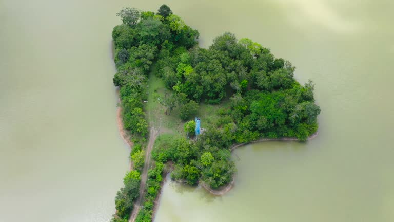
island like a thailand map over reservoir - aerial map elements stock videos & royalty-free footage00:06Island like a Thailand map over reservoir
island like a thailand map over reservoir - aerial map elements stock videos & royalty-free footage00:14Island like a Thailand map over reservoir
island like a thailand map over reservoir - aerial map elements stock videos & royalty-free footage00:04Island like a Thailand map over reservoir
island like a thailand map over reservoir - aerial map elements stock videos & royalty-free footage00:18Island like a Thailand map over reservoir
island like a thailand map over reservoir - aerial map elements stock videos & royalty-free footage00:19Island like a Thailand map over reservoir
island like a thailand map over reservoir - aerial map elements stock videos & royalty-free footage00:06Island like a Thailand map over reservoir
island like a thailand map over reservoir - aerial map elements stock videos & royalty-free footage00:22Island like a Thailand map over reservoir
island like a thailand map over reservoir - aerial map elements stock videos & royalty-free footage00:08Island like a Thailand map over reservoir
island like a thailand map over reservoir - aerial map elements stock videos & royalty-free footage00:14Island like a Thailand map over reservoir