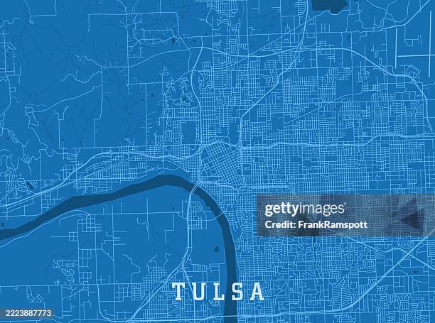
tulsa ok city vector road map blue text - tulsa map stock illustrationsTulsa OK City Vector Road Map Blue TextTulsa, Map, Road Map
tulsa ok city vector road map blue horizontal - tulsa map stock illustrationsTulsa OK City Vector Road Map Blue HorizontalTulsa, Map, District
tulsa, oklahoma usa vector map - tulsa map stock illustrationsTulsa, Oklahoma USA Vector MapMap, Tulsa, Route 66
tulsa oklahoma us city street map - tulsa map stock illustrationsTulsa Oklahoma US City Street MapMap, Tulsa, Downtown District
tulsa, oklahoma usa vector map - tulsa map stock illustrationsTulsa, Oklahoma USA Vector MapTulsa, Map, Street
tulsa county, oklahoma maps for design. easily editable - tulsa map stock illustrationsTulsa County, Oklahoma maps for design. Easily editableDistrict, Tulsa, Map
tulsa, oklahoma usa vector map - tulsa map stock illustrationsTulsa, Oklahoma USA Vector MapTulsa, Route 66, Map
tulsa, oklahoma usa vector map - tulsa map stock illustrationsTulsa, Oklahoma USA Vector MapTulsa, Map
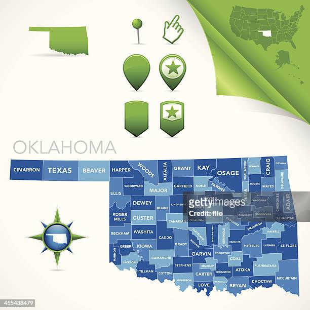
a segmented map of oklahoma next to texas - tulsa map stock illustrationsA segmented map of Oklahoma next to TexasOklahoma, Map, Oklahoma City
tulsa county, oklahoma. map with paper cut effect on blank background - tulsa map stock illustrationsTulsa County, Oklahoma. Map with paper cut effect on blank backgroundTulsa, Map, District
tulsa county, oklahoma. maps for design. blank, white and black backgrounds - tulsa map stock illustrationsTulsa County, Oklahoma. Maps for design. Blank, white and black backgroundsTulsa, District, Map
u.s. route 66 cartoon map - tulsa map stock illustrationsU.S. Route 66 Cartoon MapRoute 66, Map, Albuquerque - New Mexico
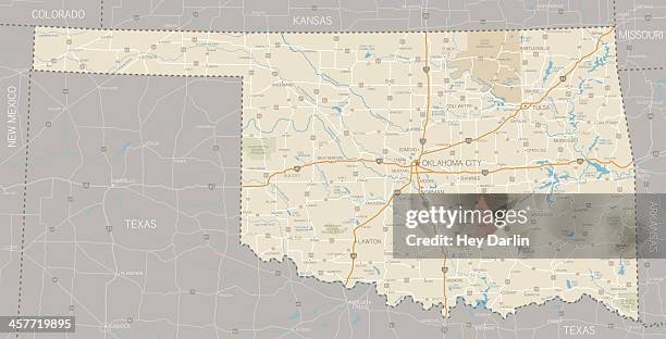
oklahoma us state road map - tulsa map stock illustrationsOklahoma US State Road MapOklahoma City, Map, Tulsa
tulsa, oklahoma usa vector map - tulsa map stock illustrationsTulsa, Oklahoma USA Vector MapOklahoma, Route 66, Street Map
american independence 250 years route map illustration - tulsa map stock illustrationsAmerican Independence 250 Years Route Map IllustrationRoute 66, USA, Arizona
In this visual, we've ranked the top U.S. Metropolitan areas in terms of their GDP. How does your city rank? Data source: Bureau of Economic Analysis...Mapped: The Largest 15 U.S. Cities by GDPMap, Pittsburgh, Nashville
tulsa, oklahoma, usa vector watercolor map - tulsa map stock illustrationsTulsa, Oklahoma, USA Vector Watercolor MapTulsa
tulsa county, oklahoma. map in retro vintage style - old textured paper - tulsa map stock illustrationsTulsa County, Oklahoma. Map in retro vintage style - Old textured paperTulsa, District
oklahoma us state vector road map grey - tulsa map stock illustrationsOklahoma US State Vector Road Map GreyOklahoma, Lawton - Oklahoma, Oklahoma City
downtown tulsa, oklahoma - tulsa map stock pictures, royalty-free photos & imagesDowntown Tulsa, Oklahoma
The two aces of the Department of Justice, U.S. Attorney General Homer S. Cummings and J. Edgar Hoover, Chief of the Bureau of Investigation, point...Cummings and Hoover Pointing at MapArchival, USA
tulsa county, oklahoma map. round icon with long shadow on red or blue background - tulsa map stock illustrationsTulsa County, Oklahoma map. Round icon with long shadow on red or blue background
World map showing path of the solar powered plane that landed in Oklahoma late Thursday.AVIATION-TRANSPORT-USA-SOLAR
tulsa county, oklahoma map with location pins on white background - tulsa map stock illustrationsTulsa County, Oklahoma Map with location pins on white Background
tulsa county, oklahoma. 3d map on gray background - tulsa map stock illustrationsTulsa County, Oklahoma. 3D Map on gray background
tulsa county, oklahoma. maps on blue and red backgrounds - tulsa map stock illustrationsTulsa County, Oklahoma. Maps on blue and red backgrounds
tulsa county, oklahoma. map with blue and red people - tulsa map stock illustrationsTulsa County, Oklahoma. Map with blue and red People
tulsa county, oklahoma. map on blue and red background - tulsa map stock illustrationsTulsa County, Oklahoma. Map on blue and red background
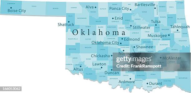
oklahoma vector map regions isolated - tulsa map stock illustrationsOklahoma Vector Map Regions IsolatedOklahoma City
tulsa county, oklahoma. map on white background with red banner - tulsa map stock illustrationsTulsa County, Oklahoma. Map on white background with red banner
tulsa, oklahoma usa vector map - tulsa map stock illustrationsTulsa, Oklahoma USA Vector MapRoute 66, Poster, Diagram
Aerial view of Tulsa, Oklahoma, Fowler & Kelly, 1918.Aerial view of Tulsa, Oklahoma, Fowler & Kelly, 1918Tulsa, Map, 1910-1919
Spectators view the map during a practice round for the 2022 PGA Championship at the Southern Hills on May 16, 2022 in Tulsa, Oklahoma.PGA Championship - Preview Day 1Golf
tulsa, oklahoma raster watercolor map illustration - tulsa map stock illustrationsTulsa, Oklahoma Raster Watercolor Map Illustration