technologic earth connection to canada - 4k - canada highway map stock videos & royalty-free footage00:12Technologic Earth connection to Canada - 4KCanada, Map, Three Dimensional
starlight at night ,timelapse - canada highway map stock videos & royalty-free footage00:10Starlight at Night ,TimelapseObservatory, Tranquility, Landscape - Scenery
airplane map route - canada highway map stock videos & royalty-free footage00:29airplane map routeMap, Connection, Illuminated
large fire shut down interstate 95 in norwalk, connecticut, during the morning of thursday, may 2, after three vehicles, including a petroleum... - canada highway map stock videos & royalty-free footage02:32Intense Tanker Fire Shuts Down Interstate in NorwalkConnecticut
starlight at night ,timelapse - canada highway map stock videos & royalty-free footage00:07Starlight at Night ,TimelapseStar - Space, Sky, Observatory
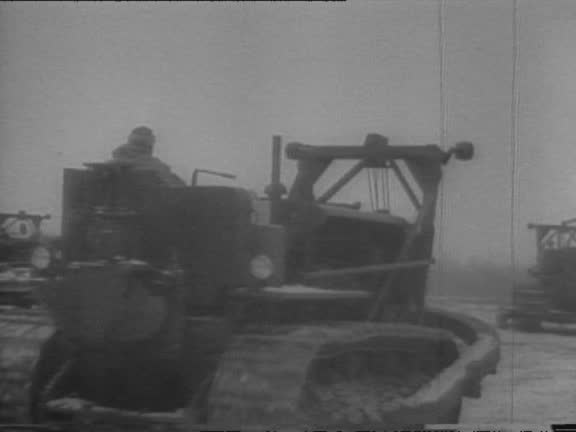
military jeep drives on an empty plain with snow capped mountains in background / a convoy of military gas trucks departs / sign reads 'start alaskan... - canada highway map stock videos & royalty-free footage00:54Military Convoy Builds Alaska HighwayWorld War II, Construction Industry, Map
young man looking at map on the side of the road for direction - canada highway map stock videos & royalty-free footage00:19Young man looking at map on the side of the road for direction
hiker consulting trail map on top of mountain lake, canada - canada highway map stock videos & royalty-free footage00:21Hiker consulting trail map on top of mountain lake, Canada
hiker consulting trail map on top of mountain lake, canada - canada highway map stock videos & royalty-free footage00:21Hiker consulting trail map on top of mountain lake, Canada
driver using gps app in iphone to find his way in the ontario 401 highway's maze of roads and exits. accuracy in knowing your way before hand is very... - canada highway map stock videos & royalty-free footage00:18Technology in Practical Uses: iPhone App GPS Map Guiding Driver in Traffic at 401 Highway-Toronto,CanadaGlobal Positioning System, Smart Phone
sign at side of highway "alaska highway maintenance camp milepost 1083 destruction bay" w u.s. military vehicles passing by in bg / military vehicles... - canada highway map stock videos & royalty-free footage01:53US Army Corps of Engineers building maintenance camp in Destruction Bay, CanadaWorld War II
wide view of a group of army tents at fort st john in british columbia / troops outside of their tents, some of them helping chop firewood / a... - canada highway map stock videos & royalty-free footage00:59Army Engineers Work to Construct Military Highway From Seattle to FairbanksWorld War II, National Border, Army Soldier
map of north america alcan highway connecting canadian railways / montage of bulldozers clearing forest for the alaska canada highway / workers with... - canada highway map stock videos & royalty-free footage01:37ALCAN Highway, Alaska and Canadian Railway ConnectedWorld War II
sunset view of panvel and ulwe, navi mumbai during a polluted environment in the backdrop of newly constructed navi mumbai international airport / db patil international airport. the national highway nh 248 is seen in the foreground - canada highway map stock videos & royalty-free footage00:18Sunset view of Panvel and Ulwe, Navi Mumbai during a polluted environment in the backdrop of Newly constructed Navi Mumbai International Airport / DB Patil International Airport. The National Highway NH 248 is seen in the foregroundAirport, Navi Mumbai, India
view of national highway nh 248 from panvel to jnpt via newly constructed navi mumbai international airport / db patil international airport ulwe, navi mumbai. - canada highway map stock videos & royalty-free footage00:31View of National Highway NH 248 from Panvel to JNPT via newly constructed Navi Mumbai International Airport / DB Patil International Airport ulwe, Navi Mumbai.
view of national highway nh 248 from panvel to jnpt via newly constructed navi mumbai international airport / db patil international airport ulwe, navi mumbai. - canada highway map stock videos & royalty-free footage00:16View of National Highway NH 248 from Panvel to JNPT via newly constructed Navi Mumbai International Airport / DB Patil International Airport ulwe, Navi Mumbai.Mumbai, Cityscape
man was forced to wade through floodwaters to a submerged car after heavy rain caused widespread flooding across the greater toronto area on tuesday,... - canada highway map stock videos & royalty-free footage02:30Man Wades to Car Through Floodwaters as Toronto Hit by Deluge
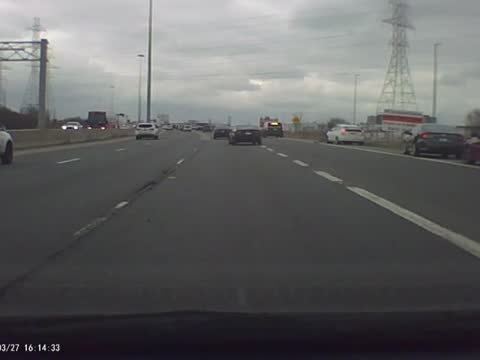
dramatic dashcam footage captured the moment an out-of-control driver smashed into traffic on a toronto highway on march 27. edson serpa was driving... - canada highway map stock videos & royalty-free footage00:53Dashcam Footage Captures Out-of-Control Driver Smashing Into TrafficSwerving, Car, Traffic
train carrying hazardous materials derailed in north minnesota on wednesday, may 31, with officials saying the adjacent highway would likely remain... - canada highway map stock videos & royalty-free footage01:07Train Carrying Hazardous Materials Derails in North Minnesota
canada tittle road sign over the blue cloudy sky - stock video - canada highway map stock videos & royalty-free footage00:20Canada tittle road sign over the blue cloudy sky - Stock video
toronto popular city of canada road sign over the blue cloudy sky - stock video - canada highway map stock videos & royalty-free footage00:20Toronto Popular City of Canada road sign over the blue cloudy sky - Stock video
ottawa capital city of canada road sign over the blue cloudy sky - stock video - canada highway map stock videos & royalty-free footage00:20Ottawa capital city of Canada road sign over the blue cloudy sky - Stock video
starlight at night ,timelapse - canada highway map stock videos & royalty-free footage00:07Starlight at Night ,TimelapseSky, Star - Space, Constellation
starlight at night ,timelapse - canada highway map stock videos & royalty-free footage00:09Starlight at Night ,TimelapseMeteor, Surveillance