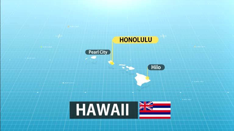
zoom in to hawaii, us from earth. satellite view of the united states of america. cinematic world map animation from outer space to territories. the concept of usa, highlight, globe, aerial view, tourism, travel, journey, cityscape - honolulu map stock videos & royalty-free footage00:16Zoom in to Hawaii, US from Earth. Satellite view of the United States of America. Cinematic world map animation from outer space to territories. The concept of USA, highlight, globe, aerial view, tourism, travel, journey, cityscapeHawaii Islands, Big Island - Hawaii Islands, Map
zoom in to hawaii, us from earth. satellite view of the united states of america. cinematic world map animation from outer space to territories. the concept of usa, highlight, globe, aerial view, tourism, travel, journey, cityscape - honolulu map stock videos & royalty-free footage00:16Zoom in to Hawaii, US from Earth. Satellite view of the United States of America. Cinematic world map animation from outer space to territories. The concept of USA, highlight, globe, aerial view, tourism, travel, journey, cityscapeHawaii Islands, Big Island - Hawaii Islands, Map
hawaii state map - honolulu map stock videos & royalty-free footage00:20Hawaii State MapHawaii Islands, Map
zoom in to hawaii, us from earth. satellite view of the united states of america. cinematic world map animation from outer space to territories. the concept of usa, highlight, globe, aerial view, tourism, travel, journey, cityscape - honolulu map stock videos & royalty-free footage00:16Zoom in to Hawaii, US from Earth. Satellite view of the United States of America. Cinematic world map animation from outer space to territories. The concept of USA, highlight, globe, aerial view, tourism, travel, journey, cityscapeBig Island - Hawaii Islands, Hawaii Islands, Map
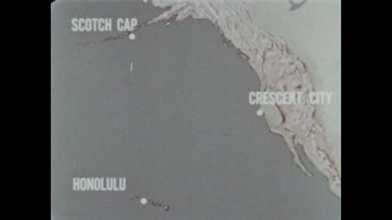
close angle of world map or globe. shot begins on honolulu hawaii then pans right to southern california coast. camera pans down baja mexico then back to hawaii. see latitude and longitude lines on map. - honolulu map stock videos & royalty-free footage01:14CLOSE ANGLE OF WORLD MAP OR GLOBE. SHOT BEGINS ON HONOLULU HAWAII THEN PANS RIGHT TO SOUTHERN CALIFORNIA COAST. CAMERA PANS DOWN BAJA MEXICO THEN BACK TO HAWAII. SEE LATITUDE AND LONGITUDE LINES ON MAP.Map, California, Hawaii Islands
zoom in to hawaii, us from earth. satellite view of the united states of america. cinematic world map animation from outer space to territories. the concept of highlight the state, globe, tourism, travel, journey, aerial view of country, usa - honolulu map stock videos & royalty-free footage00:16Zoom in to Hawaii, US from Earth. Satellite view of the United States of America. Cinematic world map animation from outer space to territories. The concept of highlight the state, globe, tourism, travel, journey, aerial view of country, USAHawaii Islands, Map, Big Island - Hawaii Islands
zoom in to hawaii, us from earth. satellite view of the united states of america. cinematic world map animation from outer space to territories. the concept of usa, highlight, globe, aerial view, tourism, travel, journey, cityscape - honolulu map stock videos & royalty-free footage00:16Zoom in to Hawaii, US from Earth. Satellite view of the United States of America. Cinematic world map animation from outer space to territories. The concept of USA, highlight, globe, aerial view, tourism, travel, journey, cityscapeHawaii Islands, Big Island - Hawaii Islands, Map
passengers boarding pan am clipper on water crossing gangplank with words pan american airways on side, flight officers assist people down steps to... - honolulu map stock videos & royalty-free footage01:57Map compares ocean travel with flying boat travel over PacificMap, Guam, Aeroplane
1959 hawaii transportation and harbor - honolulu map stock videos & royalty-free footage01:371959 Hawaii transportation and harborHawaii Islands, Map
honolulu, hawaii june 1970: detailed map of pacific operations, 1942-1945, charting key wwii battles and strategic movements. - honolulu map stock videos & royalty-free footage00:28Hawaii 1970, Pacific War Operations Map
world war ii / japanese flag on ship of japanese navy / japanese air force in flight / sailors watch planes in air / ships at sea / aerials japanese... - honolulu map stock videos & royalty-free footage02:53World War II: Japanese targetsWorld War II, Pearl Harbour Attack, Singapore
"earhart conquers pacific" / pilot amelia earhart standing next to plane being asked question by reporter / earhart taking off from wheeler army... - honolulu map stock videos & royalty-free footage01:50Amelia Earhart flies solo from Honolulu, HI, to Oakland, CAAmelia Earhart - Aviator, Hawaii Islands, Map
"pacific fliers, san francisco - left to right, harry fores, h s mead, j k von althause, wes loudon and tom darby who will fly from honolulu to us... - honolulu map stock videos & royalty-free footage01:48US aviators in San Francisco before flight from Honolulu to San FranciscoHawaii Islands
animated map shows distance flown by record-setting formation of us navy seaplanes; 2,400 miles from san francisco, ca, to honolulu, hi; map compares... - honolulu map stock videos & royalty-free footage00:14Animated map shows distances between various points in the Pacific OceanPhilippines, 1930-1939, Japan
pacific fleet admiral chester nimitz w/ pointer on western pacific map, chief of staff william d. leahy, president franklin d. roosevelt &... - honolulu map stock videos & royalty-free footage00:331944: PRESENTATION TO FDRChester Nimitz
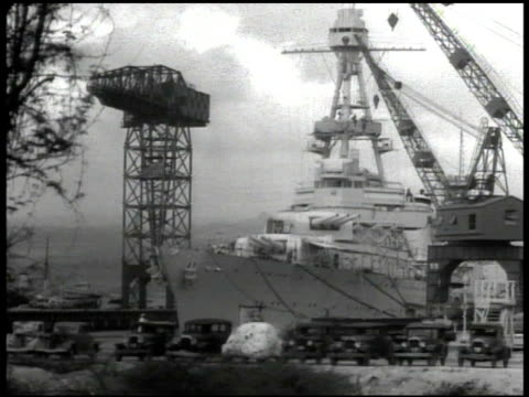
highlighted location of pearl harbor & honolulu. vs u.s. navy war ships docked in hawaii ports map: marking trans-pacific air routes midway wake... - honolulu map stock videos & royalty-free footage00:28Navy ships docked in HawaiiPearl Harbour Attack, 1939, Hawaii Islands
oahu island, pearl harbor, honolulu. - honolulu map stock videos & royalty-free footage00:03SYNOPSIS: ContentHawaii Islands, 1930-1939
map of pacific area with japan to west and united states to east / close-up on island of oahu on map / aerial view of hawaii with beach / shipyard... - honolulu map stock videos & royalty-free footage00:55Film Detailing Pearl Harbor AttackPearl Harbour Attack, USS Arizona, 1941
coast guard officer speaks on the telephone about saving a life as he checks over a map chart circa 1970s across o'ahu, hawaii. - honolulu map stock videos & royalty-free footage00:41US Coast Guard Rescue Mission 1970s Hawaii
soldiers look at a map during training exercises at lightning academy at schofield barracks in honolulu, hawaii, us on monday, november 10, 2025. the... - honolulu map stock videos & royalty-free footage00:14Soldiers Look At A Map During Training Exercises At Lightning Academy At Schofield Barracks In Honolulu, Hawaii, USMilitary Base, USA, Military Training
national hawaii day poster, july 5. 4k - honolulu map stock videos & royalty-free footage00:09National Hawaii Day poster, July 5. 4k
large tree toppled onto a vehicle as a strong low-pressure system brought damaging winds, severe thunderstorms, and flash flooding to the hawaiian... - honolulu map stock videos & royalty-free footage00:35Tree Topples Onto Car as Severe Storms Slam Honolulu
woman was rescued after being attacked by a nursing monk seal at kaimana beach, honolulu, on sunday, july 24. marine preservation group hawaii marine... - honolulu map stock videos & royalty-free footage02:42Endangered Nursing Monk Seal Attacks Swimmer at Honolulu Beach
waves on water - part 26 of 28. with the help of large experimental tanks, the film explains how waves are created and demonstrates that even though waves travel, the water does not move. also points out that high-energy waves are created by underwater ea - honolulu map stock videos & royalty-free footage00:35Waves on Water - part 26 of 28. With the help of large experimental tanks, the film explains how waves are created and demonstrates that even though waves travel, the water does not move. Also points out that high-energy waves are created by underwater ea
waves on water - part 25 of 28. with the help of large experimental tanks, the film explains how waves are created and demonstrates that even though waves travel, the water does not move. also points out that high-energy waves are created by underwater ea - honolulu map stock videos & royalty-free footage00:36Waves on Water - part 25 of 28. With the help of large experimental tanks, the film explains how waves are created and demonstrates that even though waves travel, the water does not move. Also points out that high-energy waves are created by underwater ea
waves on water - part 24 of 28. with the help of large experimental tanks, the film explains how waves are created and demonstrates that even though waves travel, the water does not move. also points out that high-energy waves are created by underwater ea - honolulu map stock videos & royalty-free footage00:31Waves on Water - part 24 of 28. With the help of large experimental tanks, the film explains how waves are created and demonstrates that even though waves travel, the water does not move. Also points out that high-energy waves are created by underwater ea
hawaii - the 50th state - part 7 of 29. presents an overview of hawaii and a brief history of the volcanic formation. reviews the history of early polynesian settlement and the influence of diverse cultures on the present way of life in hawaii - honolulu map stock videos & royalty-free footage00:36Hawaii - The 50th State - part 7 of 29. Presents an overview of Hawaii and a brief history of the volcanic formation. Reviews the history of early Polynesian settlement and the influence of diverse cultures on the present way of life in HawaiiHawaii Islands
"navy planes seek record in flight to honolulu" / group of officers of squadron 10 including leader lt commander knefler mcginnis, planes in bg /... - honolulu map stock videos & royalty-free footage00:59Knefler McGinnis's Navy squadron plans flight to HonoluluSan Diego
animated map shows distances between san francisco and honolulu; honolulu and manila; tokyo and honolulu / note: exact month/day not known - honolulu map stock videos & royalty-free footage00:14Map illustrates distances between San Francisco and various Pacific Ocean locales