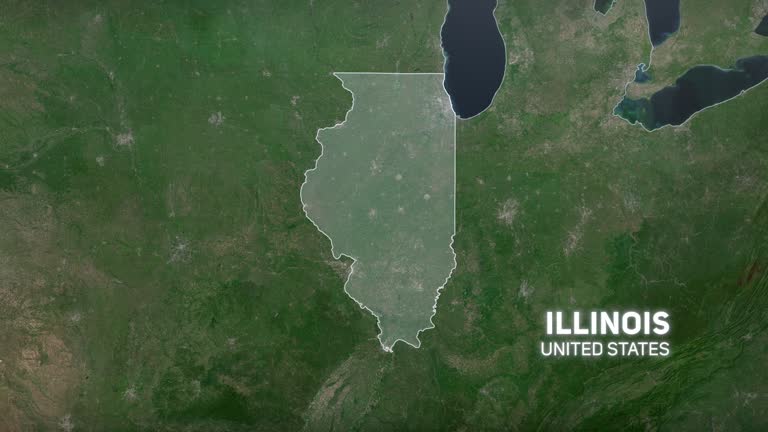
illinois from usa states - illinois state map stock videos & royalty-free footage00:12Illinois from USA StatesMap, Illinois, USA
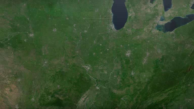
zoom in to illinois, us from earth. satellite view of the united states of america. cinematic world map animation from outer space to territories. the concept of usa, highlight, globe, aerial view, tourism, travel, journey, cityscape - illinois state map stock videos & royalty-free footage00:16Zoom in to Illinois, US from Earth. Satellite view of the United States of America. Cinematic world map animation from outer space to territories. The concept of USA, highlight, globe, aerial view, tourism, travel, journey, cityscapeIllinois, Map, World Map
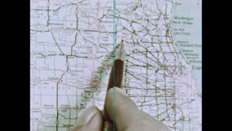
chicago state map - illinois state map stock videos & royalty-free footage00:20Chicago State MapIllinois, Map, Chicago - Illinois
illinois from usa states - illinois state map stock videos & royalty-free footage00:13Illinois from USA StatesIllinois, Map, USA
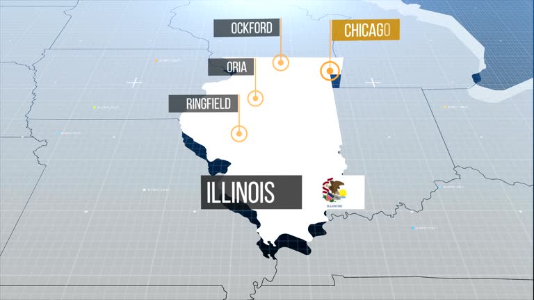
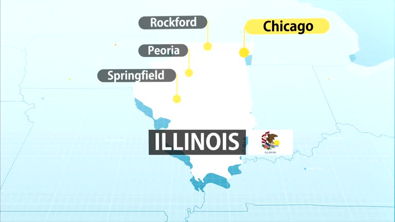
illinois map with label then with out label - illinois state map stock videos & royalty-free footage00:20Illinois map with label then with out labelIllinois, Map, Chicago - Illinois
usa animated map. detailed map with divided states. - illinois state map stock videos & royalty-free footage00:10USA animated map. Detailed map with divided states.USA, Map, American Culture
drive-by shooting outside a nightclub in chicago's river north area on wednesday night left four people dead and 14 others injured.according to... - illinois state map stock videos & royalty-free footage00:25MOTION GRAPHIC - At least 4 killed in shooting outside nightclub in ChicagoIllinois, Chicago - Illinois, Map
united states - zoom on world map. animated shape vector map of united states. 4k video footage. motion graphics - illinois state map stock videos & royalty-free footage00:08United States - Zoom on World Map. Animated Shape Vector Map of United States. 4K Video Footage. Motion GraphicsMap, Boston - Massachusetts, New York City
usa animated map with divided states including hawaii and alaska. 4k - illinois state map stock videos & royalty-free footage00:10USA animated map with divided states including Hawaii and Alaska. 4kUSA, Map, American Culture
union station in chicago, illinois - illinois state map stock videos & royalty-free footage00:09Union Station in Chicago, IllinoisMap, USA, Rail Transportation
illinois from usa states - illinois state map stock videos & royalty-free footage00:10Illinois from USA StatesIllinois, Map
the middle states (2nd edition) - part 5 of 19. reveals the balance of agriculture and industry which exists in the region of the eight middle states. shows the four distinct economic belts; interdependence of the middle states with the other states; the - illinois state map stock videos & royalty-free footage00:30The Middle States (2nd edition) - part 5 of 19. Reveals the balance of agriculture and industry which exists in the region of the eight middle states. Shows the four distinct economic belts; interdependence of the middle states with the other states; theWisconsin, 1950-1959, Minnesota
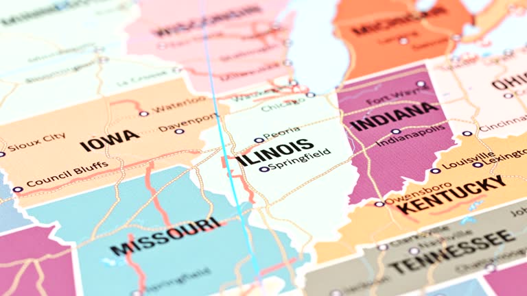
close up on antique us map: illinois, indiana and ohio - illinois state map stock videos & royalty-free footage00:16Close up on antique US map: Illinois, Indiana and OhioMap, American Culture, District
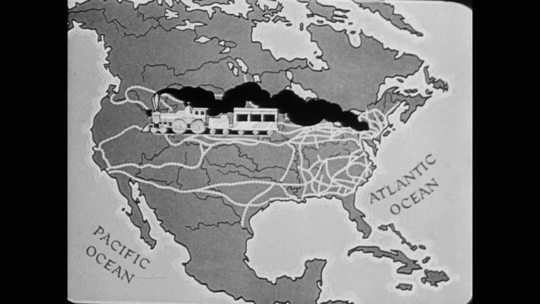
1945 a map of american train expansion - illinois state map stock videos & royalty-free footage00:301945 A map of American train expansionUSA, Map, Archival
usa animated map. detailed map with divided states. - illinois state map stock videos & royalty-free footage00:10USA animated map. Detailed map with divided states.Map, USA, American Culture
map of michigan united states america usa, 3d animation - illinois state map stock videos & royalty-free footage00:10Map of MICHIGAN United States America USA, 3D AnimationMichigan, Map, USA
usa map - illinois state map stock videos & royalty-free footage00:20USA MapMap, Chicago - Illinois, New York City
travel background - illinois state map stock videos & royalty-free footage00:10Travel BackgroundAeroplane, Flying, World Map
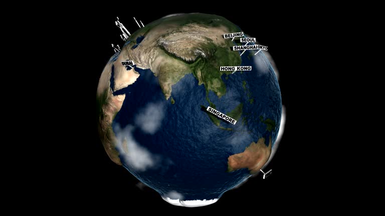
global cities index earth - illinois state map stock videos & royalty-free footage00:30Global Cities Index EarthMap, Globe - Navigational Equipment, Planet - Space
zoom in to chicago, illinois, united states from earth. satellite view of the usa. cinematic world map animation from outer space to territories. the concept of highlight the cities, globe, tourism, travel, aerial view of country - illinois state map stock videos & royalty-free footage00:16Zoom in to Chicago, Illinois, United States from Earth. Satellite view of the USA. Cinematic world map animation from outer space to territories. The concept of highlight the cities, globe, tourism, travel, aerial view of countryChicago - Illinois, Map, Satellite View
zoom in to chicago, illinois, united states from earth. satellite view of the usa. cinematic world map animation from outer space to territories. the concept of highlight the cities, globe, tourism, travel, aerial view of country - illinois state map stock videos & royalty-free footage00:16Zoom in to Chicago, Illinois, United States from Earth. Satellite view of the USA. Cinematic world map animation from outer space to territories. The concept of highlight the cities, globe, tourism, travel, aerial view of countryChicago - Illinois, Map
rare and dangerous heat wave has spread across the eastern united states, placing more than 160 million people under heat alerts as major cities... - illinois state map stock videos & royalty-free footage00:21MOTION GRAPHIC - Extreme heat wave grips eastern US with record-breaking temperaturesHeat - Temperature, Map, USA
zoom in to illinois, us from earth. satellite view of the united states of america. cinematic world map animation from outer space to territories. the concept of usa, highlight, globe, aerial view, tourism, travel, journey, cityscape - illinois state map stock videos & royalty-free footage00:16Zoom in to Illinois, US from Earth. Satellite view of the United States of America. Cinematic world map animation from outer space to territories. The concept of USA, highlight, globe, aerial view, tourism, travel, journey, cityscapeIllinois, World Map
learning to read maps (2nd edition) - part 4 of 21. a fanciful story done in mime and featuring a lost clown helps the younger viewer understand how maps are useful; how maps are pictorial representations of real places; how physical features are represen - illinois state map stock videos & royalty-free footage00:34Learning to Read Maps (2nd edition) - part 4 of 21. A fanciful story done in mime and featuring a lost clown helps the younger viewer understand how maps are useful; how maps are pictorial representations of real places; how physical features are represenChicago - Illinois
usa, state of texas - illinois state map stock videos & royalty-free footage00:08USA, State of TexasMap, USA
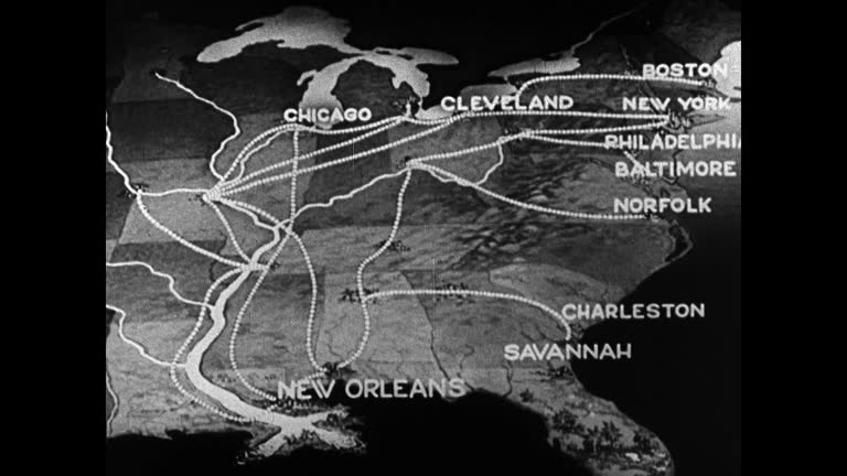
map of mid-eastern u.s. railroad lines. - illinois state map stock videos & royalty-free footage00:051936: MAP: Map of Mid-Eastern U.S. railroad lines.Map, New York City, New Orleans
dynamic earth rotation zoom into united states map – high resolution global geography animation for technology, news, data and business projects - illinois state map stock videos & royalty-free footage00:16Dynamic Earth Rotation Zoom Into United States Map – High Resolution Global Geography Animation for Technology, News, Data and Business ProjectsUSA, Globe - Navigational Equipment, Chicago - Illinois
united states - zoom on world map. animated shape vector map of united states. 4k video footage. motion graphics - illinois state map stock videos & royalty-free footage00:08United States - Zoom on World Map. Animated Shape Vector Map of United States. 4K Video Footage. Motion GraphicsMap, North America, Outline
modern map of uk - illinois state map stock videos & royalty-free footage00:19Modern Map of UKMap, London - England, UK Parliament
3d us population map 3 - illinois state map stock videos & royalty-free footage00:283D US Population Map 3Map, USA, Rural Scene
"this vast northwest territory from which the british were expelled by clark and his heroic men became a part of the american republic -- and from it... - illinois state map stock videos & royalty-free footage00:57Map showing the states George Rogers Clark conquered, 1920s ReenactmentMap, Explorer, Michigan
"roads! more roads!" / title card: "editor's note: america is on the road, in small cars and in big ones – on long trips and week-ends, vacation time... - illinois state map stock videos & royalty-free footage02:21Examples in New York of how roads and highways play major role in American lifeMajor Road, 1930-1939, USA
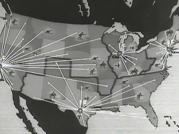
animated mobilization map. points branching out from chicago san antonio san francisco washington d.c. - illinois state map stock videos & royalty-free footage00:02Mobilization map
travel airlines - illinois state map stock videos & royalty-free footage00:29Travel airlinesMap, London - England, Dubai
"speed sewage system, chicago - build 20 miles of waste-tunnels under west side: part of $220 000 pwa project!" / an interior view of the tunnel and... - illinois state map stock videos & royalty-free footage01:48Chicago Sanitary head Ross A. Woodhull explains a massive Public Works Administration sewage construction planPulling, Moving Down, Map
reading maps - part 15 of 18. through familiar situations and aerial photography, maps are drawn in a language of sights that stand for physical features. film demonstrates the value of the legend, the scale, the direction symbol and the title in making a - illinois state map stock videos & royalty-free footage00:32Reading Maps - part 15 of 18. Through familiar situations and aerial photography, maps are drawn in a language of sights that stand for physical features. Film demonstrates the value of the legend, the scale, the direction symbol and the title in making aMap, Rail Transportation, USA
discovery and exploration - part 15 of 18. surveys the period of discovery and exploration in north america between 1492 and 1700. analyzes three motives for this exploration--to find a new trade route to the far east, to search for riches, and to find be - illinois state map stock videos & royalty-free footage00:31Discovery and Exploration - part 15 of 18. Surveys the period of discovery and exploration in North America between 1492 and 1700. Analyzes three motives for this exploration--to find a new trade route to the Far East, to search for riches, and to find beIllinois, River Mississippi, Georgia - US State
"paramount news issue no 24" / title card: "paramount news election special" over map of us / title card: "again-victory for eisenhower day" / title:... - illinois state map stock videos & royalty-free footage02:33Voters in different places; Eisenhowers, Trumans, Deweys, Stevenson votingHarry Truman, Map, Winning
man loads mailbags into plane compartment, men by truck, one with clipboard, another handing up bags / man loading bags; he closes and latches nose... - illinois state map stock videos & royalty-free footage02:17US Senate's Black Committee looks into air mail processes and possible corruptionMoon, Aeroplane, Map
illinois from usa states - illinois state map stock videos & royalty-free footage00:12Illinois from USA States
usa map by states (2 of 8) de, fl, ga, hi, id, il, in. loopable. - illinois state map stock videos & royalty-free footage01:02USA map by states (2 of 8) DE, FL, GA, HI, ID, IL, IN. Loopable.USA, Map
map of air routes stemming from chicago usa over canada to 'tokyo vladivostok moscow london.' - illinois state map stock videos & royalty-free footage00:08Map air routes over CanadaCanada, Map, Newsreel
animated mobilization map. points from washington d.c. to chicago san antonio san francisco - illinois state map stock videos & royalty-free footage00:04Mobilization map
travel airlines background - illinois state map stock videos & royalty-free footage00:29Travel airlines BackgroundAir Traffic Control Tower, Map
travel airloines background - illinois state map stock videos & royalty-free footage00:14Travel airloines BackgroundAir Traffic Control Tower, Travel Agency, Map
illinois politician talks about redrawing political maps in chicago in october 1961. - illinois state map stock videos & royalty-free footage00:38Illinois Politician Talks About Redrawing Political MapsGerrymandering
businesswoman checking transit map at chicago subway station during commute - illinois state map stock videos & royalty-free footage00:12Businesswoman checking transit map at Chicago subway station during commute
zoom in to chicago, illinois, united states from earth. satellite view of the usa. cinematic world map animation from outer space to territories. the concept of highlight the cities, globe, tourism, travel, aerial view of country - illinois state map stock videos & royalty-free footage00:16Zoom in to Chicago, Illinois, United States from Earth. Satellite view of the USA. Cinematic world map animation from outer space to territories. The concept of highlight the cities, globe, tourism, travel, aerial view of country
zoom in to chicago, illinois, united states from earth. satellite view of the usa. cinematic world map animation from outer space to territories. the concept of highlight the cities, globe, tourism, travel, aerial view of country - illinois state map stock videos & royalty-free footage00:16Zoom in to Chicago, Illinois, United States from Earth. Satellite view of the USA. Cinematic world map animation from outer space to territories. The concept of highlight the cities, globe, tourism, travel, aerial view of countryChicago - Illinois, Satellite View, USA
modern map of european union - illinois state map stock videos & royalty-free footage00:19Modern Map of European UnionEuropean Union, Unity, Digital Animation
zoom in to illinois, us from earth. satellite view of the united states of america. cinematic world map animation from outer space to territories. the concept of highlight the state, globe, tourism, travel, journey, aerial view of country, usa - illinois state map stock videos & royalty-free footage00:16Zoom in to Illinois, US from Earth. Satellite view of the United States of America. Cinematic world map animation from outer space to territories. The concept of highlight the state, globe, tourism, travel, journey, aerial view of country, USAPeoria - Illinois, Illinois
illinois flag and map of illinois zoomed to earth from space, real-time photo-animation. - illinois state map stock videos & royalty-free footage00:21Illinois flag and map of Illinois zoomed to earth from space, real-time photo-animation.Map
map of michigan united states america usa, 3d animation - illinois state map stock videos & royalty-free footage00:17Map of MICHIGAN United States America USA, 3D AnimationMichigan, Map
union station in chicago, illinois - illinois state map stock videos & royalty-free footage00:10Union Station in Chicago, IllinoisCity, Map
union station in chicago, illinois - illinois state map stock videos & royalty-free footage00:09Union Station in Chicago, IllinoisOld-fashioned, Retro Style, Chicago - Illinois
union station in chicago, illinois - illinois state map stock videos & royalty-free footage00:12Union Station in Chicago, IllinoisUnion Station - Chicago, Chicago - Illinois, Building Exterior
zoom in to illinois, us from earth. satellite view of the united states of america. cinematic world map animation from outer space to territories. the concept of usa, highlight, globe, aerial view, tourism, travel, journey, cityscape - illinois state map stock videos & royalty-free footage00:16Zoom in to Illinois, US from Earth. Satellite view of the United States of America. Cinematic world map animation from outer space to territories. The concept of USA, highlight, globe, aerial view, tourism, travel, journey, cityscapeIllinois, World Map
3d us population map 1 - illinois state map stock videos & royalty-free footage00:293D US Population Map 1Map, Virginia - US State, South Carolina
us regions: contrasts of land and people - part 25 of 53. using both animation and live-action photography, this film enables viewers to tour a richly diverse country that can be divided into eight regions: new england, the middle atlantic, the south, the - illinois state map stock videos & royalty-free footage00:29US Regions: Contrasts of Land and People - part 25 of 53. Using both animation and live-action photography, this film enables viewers to tour a richly diverse country that can be divided into eight regions: New England, the Middle Atlantic, the South, theChicago - Illinois
learning to read maps (2nd edition) - part 13 of 21. a fanciful story done in mime and featuring a lost clown helps the younger viewer understand how maps are useful; how maps are pictorial representations of real places; how physical features are represe - illinois state map stock videos & royalty-free footage00:29Learning to Read Maps (2nd edition) - part 13 of 21. A fanciful story done in mime and featuring a lost clown helps the younger viewer understand how maps are useful; how maps are pictorial representations of real places; how physical features are represeChicago - Illinois, Map
learning to read maps (2nd edition) - part 8 of 21. a fanciful story done in mime and featuring a lost clown helps the younger viewer understand how maps are useful; how maps are pictorial representations of real places; how physical features are represen - illinois state map stock videos & royalty-free footage00:23Learning to Read Maps (2nd edition) - part 8 of 21. A fanciful story done in mime and featuring a lost clown helps the younger viewer understand how maps are useful; how maps are pictorial representations of real places; how physical features are represenMap, Chicago - Illinois, Walking
learning to read maps (2nd edition) - part 6 of 21. a fanciful story done in mime and featuring a lost clown helps the younger viewer understand how maps are useful; how maps are pictorial representations of real places; how physical features are represen - illinois state map stock videos & royalty-free footage00:32Learning to Read Maps (2nd edition) - part 6 of 21. A fanciful story done in mime and featuring a lost clown helps the younger viewer understand how maps are useful; how maps are pictorial representations of real places; how physical features are represen
westward movement i - settlers of the old northwest territory - part 24 of 26. describes the colonization of the old northwest territory during the post-revolutionary war period. explains the political and economic effects of the northwest ordinance and - illinois state map stock videos & royalty-free footage00:31Westward Movement I - Settlers of the Old Northwest Territory - part 24 of 26. Describes the colonization of the Old Northwest Territory during the post-Revolutionary War period. Explains the political and economic effects of the Northwest Ordinance andCleveland - Ohio, Wisconsin, Chicago - Illinois
the middle states (2nd edition) - part 17 of 19. reveals the balance of agriculture and industry which exists in the region of the eight middle states. shows the four distinct economic belts; interdependence of the middle states with the other states; th - illinois state map stock videos & royalty-free footage00:30The Middle States (2nd edition) - part 17 of 19. Reveals the balance of agriculture and industry which exists in the region of the eight middle states. Shows the four distinct economic belts; interdependence of the middle states with the other states; thWisconsin, Missouri, Michigan
usa, state of south carolina - illinois state map stock videos & royalty-free footage00:08USA, State of South CarolinaMap
wide angle of town street with cherry blossom tree. stone or brick building on left. citgo gas station sign or logo visible. kenmore square. neighborhood. could be college campus building with map directory. middle class. - illinois state map stock videos & royalty-free footage00:49WIDE ANGLE OF TOWN STREET WITH CHERRY BLOSSOM TREE. STONE OR BRICK BUILDING ON LEFT. CITGO GAS STATION SIGN OR LOGO VISIBLE. KENMORE SQUARE. NEIGHBORHOOD. COULD BE COLLEGE CAMPUS BUILDING WITH MAP DIRECTORY. MIDDLE CLASS.Boston - Massachusetts
4k resolution world map and connection concept on chicago cityscape time-lapse blurred background - illinois state map stock videos & royalty-free footage00:124k resolution World map and connection concept on Chicago cityscape Time-lapse blurred background
engineer guglielmo marconi, inventor of the wireless telegraph, stands at podium at the century of progress international exhibition / marconi uses... - illinois state map stock videos & royalty-free footage00:28Guglielmo Marconi sends telegraph around the world at the Chicago World's Fair in 1933Guglielmo Marconi, RCA, Telegraph Machine
illinois map usa - earth zoom - illinois state map stock videos & royalty-free footage00:11ILLINOIS Map USA - Earth Zoom
sen. robert taft rides in convertible during campaign event, probably in 1952 / sea of delegates with dwight eisenhower signs on convention floor at... - illinois state map stock videos & royalty-free footage00:11Robert Taft on campaign trail, and GOP delegates wave "Ike" signs at 1952 party convention
"horse racing rides into its biggest year" / tilt-down shot horses race / worm's-eye shot horses thunder past, kicking up clods of dirt / caption... - illinois state map stock videos & royalty-free footage01:45Excitement of US horse racing seasonNewspaper
medium - illinois state map stock videos & royalty-free footage00:16TIMES SQUARE: NEW YORK CITY: NIGHT: LA TU glowing world map on building w/ Morgan Stanley stock ticker coming from top running left. Tilting L then R on map. LA TU world map.
"politics, ike, stevenson map campaigns" superimposed over figurines of elephant and donkey / mrs. india edwards, vice chairman of democratic... - illinois state map stock videos & royalty-free footage01:23Stevenson in Chicago and Eisenhower in Colorado prepare for presidential campaign of 1952
b/w 1951 two boys sitting on airliner looking at map - illinois state map stock videos & royalty-free footage00:04B/W 1951 two boys sitting on airliner looking at map
b/w 1951 extreme close up boy's finger pointing on route from chicago to new york on map - illinois state map stock videos & royalty-free footage00:07B/W 1951 extreme close up boy's finger pointing on route from Chicago to New York on map
b/w 1951 two boys taking map out of pocket on back of airliner seat - illinois state map stock videos & royalty-free footage00:04B/W 1951 two boys taking map out of pocket on back of airliner seat1950-1959, Aeroplane
united states map w/ pins, unexplained: highlighting area, 1951 illinois afb, sot allen dumas talking about his sighting, ufo photograph, - illinois state map stock videos & royalty-free footage00:531952: UFO SIGHTINGS MAP: United States map w/ pins, UNEXPLAINED: Highlighting area, 1951 Illinois AFB, SOT Allen Dumas talking about his sighting, CU UFO Photograph,UFO, 1950-1959, Celebrity Sightings
male hand placing miniature police figures on street grid map, adding police to traffic problem areas. modeling, traffic study results, taking... - illinois state map stock videos & royalty-free footage00:121938: EVANSTON, ILLINOIS: SAFETY DIVISION: Male hand placing miniature police figures on street grid map, adding police to traffic problem areas. Modeling, traffic study results, taking control.