close up on antique us map: illinois, indiana and ohio - indiana map counties stock videos & royalty-free footage00:16Close up on antique US map: Illinois, Indiana and OhioMap, American Culture, District
usa map by states (2 of 8) de, fl, ga, hi, id, il, in. loopable. - indiana map counties stock videos & royalty-free footage01:02USA map by states (2 of 8) DE, FL, GA, HI, ID, IL, IN. Loopable.USA, Map
smoke from numerous canadian wildfires drifted down to central kentucky in early june. drone footage captured by danny pendleton shows a haze across... - indiana map counties stock videos & royalty-free footage00:21Haze From Canadian Wildfires Hangs Over Central Kentucky
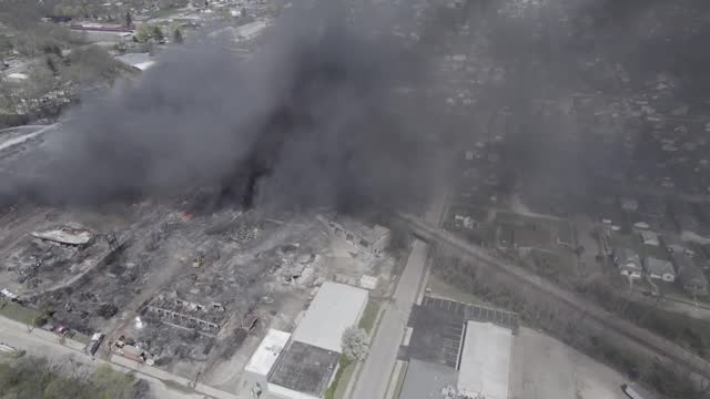
mass evacuation order was in place as large plumes of black smoke loomed over richmond, indiana, as a fire from an industrial building burnt on the... - indiana map counties stock videos & royalty-free footage02:00Large Black Smoke Cloud Covers Richmond, Indiana, Forcing Evacuation Orders
//response.epa.gov/site/site_profile.aspx?site_id=16003&fbclid=iwar2tvqydl-ipxfjmeyudzfkmozceodes9tenb-wdkmplmzvygys42eqqbdm warned residents... - indiana map counties stock videos & royalty-free footage03:29More Than 2000 Residents Evacuated as Black Smoke Billows From Richmond Industrial Fire
mass evacuation order was in place as large plumes of black smoke billowed across richmond, indiana, from a fire at an above ground recycling plant... - indiana map counties stock videos & royalty-free footage02:32Evacuations Ordered as Huge Plumes of Smoke Billow Over Richmond, Indiana
indiana city road sign over cloudy sky - stok video - indiana map counties stock videos & royalty-free footage00:20Indiana city road sign over cloudy sky - Stok video