new hampshire from usa states - northeast us map stock videos & royalty-free footage00:14New Hampshire from USA StatesMap, New Hampshire, City
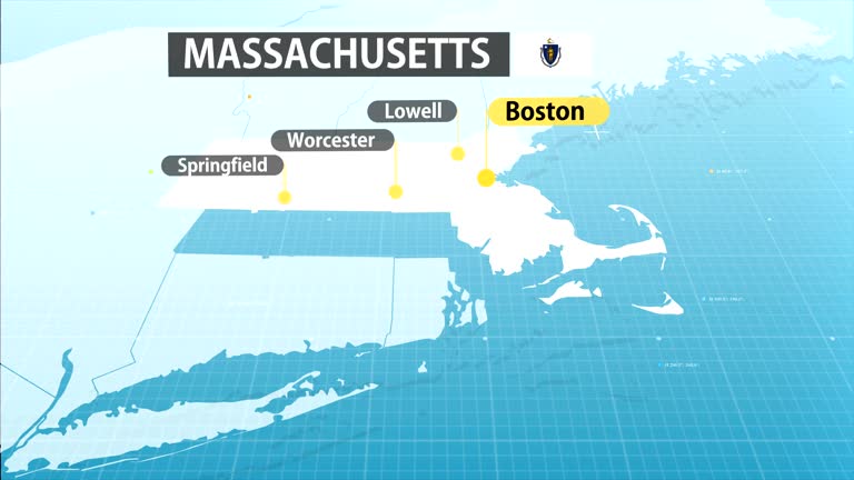
massachusetts from usa states - northeast us map stock videos & royalty-free footage00:11Massachusetts from USA StatesMassachusetts, Map, Boston - Massachusetts
close up on antique us map: new hampshire counties - northeast us map stock videos & royalty-free footage00:13Close up on antique US map: New Hampshire countiesMap, New Hampshire, Old-fashioned
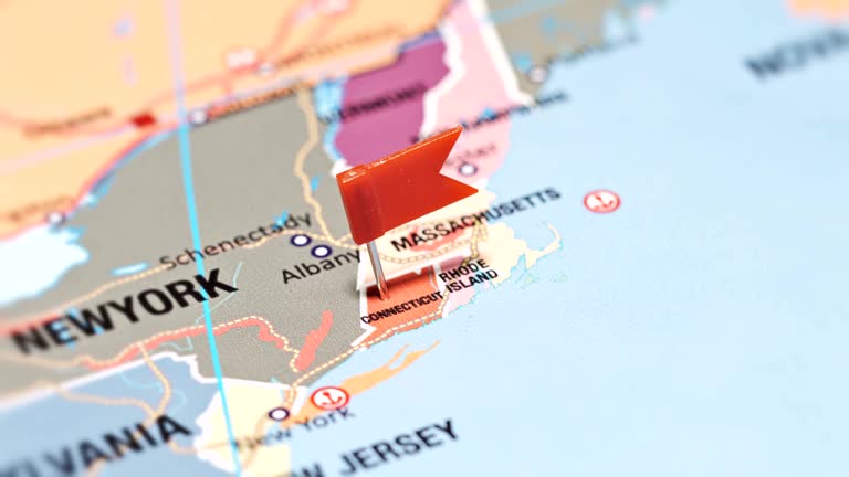
close up of rhode island on a political usa map - northeast us map stock videos & royalty-free footage00:14Close Up of Rhode Island on a Political USA Map
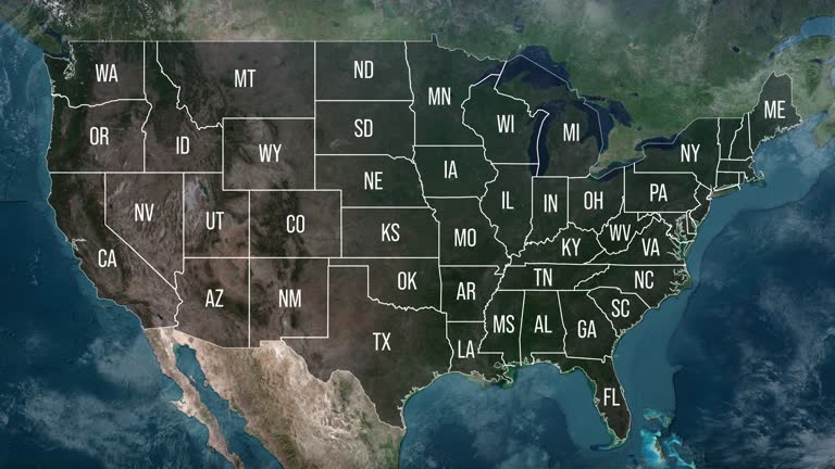
zoom in to united states from earth. highlighted us state abbreviations, satellite view of the us of america. cinematic world map animation from outer space to territories. the concept of usa, highlight, globe, aerial view, - northeast us map stock videos & royalty-free footage00:20Zoom in to United States from Earth. Highlighted US State Abbreviations, Satellite view of the US of America. Cinematic world map animation from outer space to territories. The concept of USA, highlight, globe, aerial view,USA, Map, Globe - Navigational Equipment
maine from usa states - northeast us map stock videos & royalty-free footage00:12Maine from USA StatesMaine, Map, Capital Cities
massachusetts state map - northeast us map stock videos & royalty-free footage00:20Massachusetts State MapMap, Boston - Massachusetts, Massachusetts
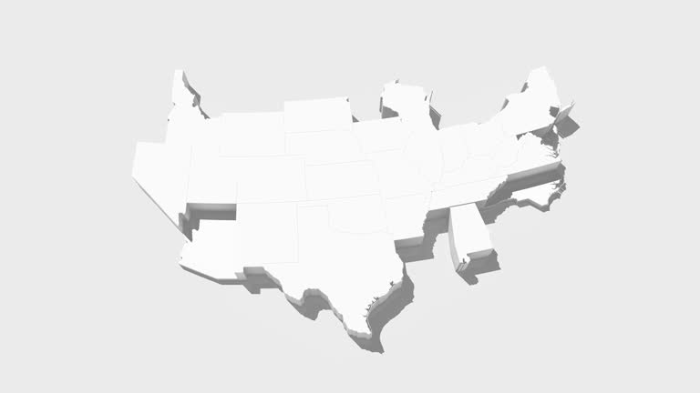
usa animated map. detailed map with divided states. - northeast us map stock videos & royalty-free footage00:10USA animated map. Detailed map with divided states.USA, Map, American Culture
united states - zoom on world map. animated shape vector map of united states. 4k video footage. motion graphics - northeast us map stock videos & royalty-free footage00:08United States - Zoom on World Map. Animated Shape Vector Map of United States. 4K Video Footage. Motion GraphicsMap, Boston - Massachusetts, New York City
usa animated map with divided states including hawaii and alaska. 4k - northeast us map stock videos & royalty-free footage00:10USA animated map with divided states including Hawaii and Alaska. 4kUSA, Map, American Culture
the american revolution- part 19 of 27. explains the strategy, struggle, movement for forces, important military engagements and the meaning of the war for independence. stresses geographical, social, and political factors which brought victory - northeast us map stock videos & royalty-free footage00:31The American Revolution- part 19 of 27. Explains the strategy, struggle, movement for forces, important military engagements and the meaning of the war for independence. Stresses geographical, social, and political factors which brought victoryMap, Battle, Revolutionary War
close up of connecticut on a political usa map - northeast us map stock videos & royalty-free footage00:14Close Up of Connecticut on a Political USA Map
zoom in to maine, us from earth. satellite view of the united states of america. cinematic world map animation from outer space to territories. the concept of usa, highlight, globe, aerial view, tourism, travel, journey, cityscape - northeast us map stock videos & royalty-free footage00:16Zoom in to Maine, US from Earth. Satellite view of the United States of America. Cinematic world map animation from outer space to territories. The concept of USA, highlight, globe, aerial view, tourism, travel, journey, cityscapePortland - Maine, Maine, Map
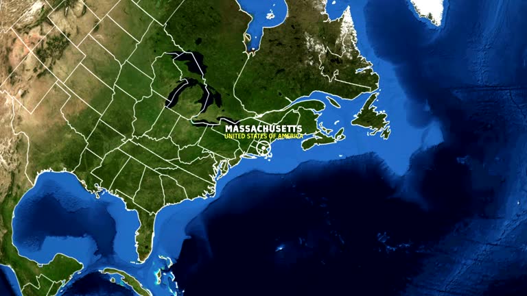
zoom in to massachusetts, us from earth. satellite view of the united states of america. cinematic world map animation from outer space to territories. the concept of usa, highlight, globe, aerial view, tourism, travel, journey, cityscape - northeast us map stock videos & royalty-free footage00:16Zoom in to Massachusetts, US from Earth. Satellite view of the United States of America. Cinematic world map animation from outer space to territories. The concept of USA, highlight, globe, aerial view, tourism, travel, journey, cityscapeMap, Massachusetts
an instructor at bell laboratories in murray hill, new jersey offers instruction on the use of weather search radar in 1966. - northeast us map stock videos & royalty-free footage00:18Weather Search Radar 1966Laboratory, Bell, Weather
vermont from usa states - northeast us map stock videos & royalty-free footage00:11Vermont from USA StatesMap
zoom in to prince edward island, canada from earth. satellite view of the north america. cinematic world map animation from outer space to territories. the concept of highlight the province, globe, tourism, travel, journey, aerial view of country, - northeast us map stock videos & royalty-free footage00:16Zoom in to Prince Edward Island, Canada from Earth. Satellite view of the North America. Cinematic world map animation from outer space to territories. The concept of highlight the province, globe, tourism, travel, journey, aerial view of country,Map
connecticut from usa states - northeast us map stock videos & royalty-free footage00:12Connecticut from USA StatesConnecticut, Map, Stamford - Connecticut
zoom in to united states from earth. highlighted us state abbreviations, satellite view of the us of america. cinematic world map animation from outer space to territories. the concept of usa, highlight, globe, aerial view, - northeast us map stock videos & royalty-free footage00:20Zoom in to United States from Earth. Highlighted US State Abbreviations, Satellite view of the US of America. Cinematic world map animation from outer space to territories. The concept of USA, highlight, globe, aerial view,Map, USA, Texas
map of massachussets united states america usa, 3d animation - northeast us map stock videos & royalty-free footage00:17Map of MASSACHUSSETS United States America USA, 3D AnimationMap, USA, Massachusetts
cinematic realistic rotating earth in space - northeast us map stock videos & royalty-free footage00:20Cinematic Realistic Rotating Earth in SpaceMap, Iran, Pakistan
usa animated map. detailed map with divided states. - northeast us map stock videos & royalty-free footage00:10USA animated map. Detailed map with divided states.Map, USA, American Culture
zoom in to massachusetts, us from earth. satellite view of the united states of america. cinematic world map animation from outer space to territories. the concept of usa, highlight, globe, aerial view, tourism, travel, journey, cityscape - northeast us map stock videos & royalty-free footage00:16Zoom in to Massachusetts, US from Earth. Satellite view of the United States of America. Cinematic world map animation from outer space to territories. The concept of USA, highlight, globe, aerial view, tourism, travel, journey, cityscapeMap, Massachusetts, USA
cinematic realistic rotating night earth in space - northeast us map stock videos & royalty-free footage00:20Cinematic Realistic Rotating Night Earth in SpaceSaudi Arabia, Globe - Navigational Equipment, Iran
zoom in to maine, us from earth. satellite view of the united states of america. cinematic world map animation from outer space to territories. the concept of usa, highlight, globe, aerial view, tourism, travel, journey, cityscape - northeast us map stock videos & royalty-free footage00:16Zoom in to Maine, US from Earth. Satellite view of the United States of America. Cinematic world map animation from outer space to territories. The concept of USA, highlight, globe, aerial view, tourism, travel, journey, cityscapeMaine, Map, Outline
massachusetts map usa - earth zoom - northeast us map stock videos & royalty-free footage00:11MASSACHUSETTS Map USA - Earth ZoomMassachusetts, Map, Animated Video
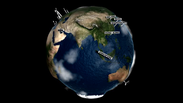
global cities index earth - northeast us map stock videos & royalty-free footage00:30Global Cities Index EarthMap, Globe - Navigational Equipment, Planet - Space
lonely girl watching the milky way - northeast us map stock videos & royalty-free footage00:19Lonely girl watching the milky wayStar - Space, Sky, Child
map of rhode island united states america usa, 3d animation - northeast us map stock videos & royalty-free footage00:10Map of RHODE ISLAND United States America USA, 3D AnimationMap
destination boston - rotating camera - northeast us map stock videos & royalty-free footage00:09Destination Boston - Rotating CameraMap, Boston - Massachusetts, USA
the american revolution- part 6 of 27. explains the strategy, struggle, movement for forces, important military engagements and the meaning of the war for independence. stresses geographical, social, and political factors which brought victory - northeast us map stock videos & royalty-free footage00:32The American Revolution- part 6 of 27. Explains the strategy, struggle, movement for forces, important military engagements and the meaning of the war for independence. Stresses geographical, social, and political factors which brought victoryRevolutionary War, Boston - Massachusetts, Map
rhode island from usa states - northeast us map stock videos & royalty-free footage00:12Rhode Island from USA StatesMap, Warwick - Rhode Island, Newport - Rhode Island
connecticut map - northeast us map stock videos & royalty-free footage00:20connecticut mapConnecticut, Map
rare and dangerous heat wave has spread across the eastern united states, placing more than 160 million people under heat alerts as major cities... - northeast us map stock videos & royalty-free footage00:21MOTION GRAPHIC - Extreme heat wave grips eastern US with record-breaking temperaturesHeat - Temperature, Map, USA
usa map by states (1 of 8) al, ak, az, ar, ca, co, ct. loopable. - northeast us map stock videos & royalty-free footage01:02USA map by states (1 of 8) AL, AK, AZ, AR, CA, CO, CT. Loopable.USA, Map, Country - Geographic Area
map of concectiut united states america usa, 3d animation - northeast us map stock videos & royalty-free footage00:17Map of CONCECTIUT United States America USA, 3D AnimationConnecticut, USA, Map
the american revolution- part 10 of 27. explains the strategy, struggle, movement for forces, important military engagements and the meaning of the war for independence. stresses geographical, social, and political factors which brought victory - northeast us map stock videos & royalty-free footage00:35The American Revolution- part 10 of 27. Explains the strategy, struggle, movement for forces, important military engagements and the meaning of the war for independence. Stresses geographical, social, and political factors which brought victoryMap, 1950-1959, Rowing Boat
maine state map - northeast us map stock videos & royalty-free footage00:20Maine State MapMap, Portland - Maine
rhode island map usa - earth zoom - northeast us map stock videos & royalty-free footage00:11RHODE ISLAND Map USA - Earth ZoomMap
vintage globe showing north- and central america, asia, africa, and europe - northeast us map stock videos & royalty-free footage00:19Vintage Globe Showing North- and Central America, Asia, Africa, And EuropeOld, Europe, Globe - Navigational Equipment
zoom in to prince edward island, canada from earth. satellite view of the north america. cinematic world map animation from outer space to territories. the concept of highlight the province, globe, tourism, travel, journey, aerial view of country, - northeast us map stock videos & royalty-free footage00:16Zoom in to Prince Edward Island, Canada from Earth. Satellite view of the North America. Cinematic world map animation from outer space to territories. The concept of highlight the province, globe, tourism, travel, journey, aerial view of country,Map, Canada, Prince Edward Island
zoom in to connecticut, us from earth. satellite view of the united states of america. cinematic world map animation from outer space to territories. the concept of highlight the state, globe, tourism, travel, journey, aerial view of country, usa - northeast us map stock videos & royalty-free footage00:16Zoom in to Connecticut, US from Earth. Satellite view of the United States of America. Cinematic world map animation from outer space to territories. The concept of highlight the state, globe, tourism, travel, journey, aerial view of country, USAConnecticut, World Map, USA
new hampshire from usa states - northeast us map stock videos & royalty-free footage00:13New Hampshire from USA States
new hampshire from usa states - northeast us map stock videos & royalty-free footage00:12New Hampshire from USA StatesMap, New Hampshire
massachusetts state map with label then with out label - northeast us map stock videos & royalty-free footage00:20Massachusetts state map with label then with out labelMap, Animated Video, USA
buckingham school. int classroom w/ boy at map, problem pronouncing a city in poland , young girl of polish decent helping him. int classroom w/ girl... - northeast us map stock videos & royalty-free footage00:571944: SCHOOL: EXT Buckingham School. INT Classroom w/ boy at map, problem pronouncing a city in Poland (Lwow), young girl of Polish decent helping him. INT Classroom w/ girl at map of Brazil, talking about races there, children & teacher listening.Map, Teacher, Classroom
united states - zoom on world map. animated shape vector map of united states. 4k video footage. motion graphics - northeast us map stock videos & royalty-free footage00:08United States - Zoom on World Map. Animated Shape Vector Map of United States. 4K Video Footage. Motion GraphicsMap, North America, Outline
severe weather is expected to impact large portions of the united states this week, with violent thunderstorms forecast to sweep across the... - northeast us map stock videos & royalty-free footage00:14MOTION GRAPHIC - Severe storms to slam large parts of U.S.; tornadoes, hail and flooding possibleTornado, Map
massachusetts flag and map of massachusetts zoomed to earth from space, real-time photo-animation. - northeast us map stock videos & royalty-free footage00:21Massachusetts flag and map of Massachusetts zoomed to earth from space, real-time photo-animation.Map, Massachusetts, Türkiye - Country
3d us population map 3 - northeast us map stock videos & royalty-free footage00:283D US Population Map 3Map, USA, Rural Scene
"on the plains of abraham, september 13 nearing ten in the morning"; map showing the location of british and french troops marching toward each... - northeast us map stock videos & royalty-free footage01:22French and British troops marching toward each other, 1920s Reenactment18th Century, Battle, Archival
new hampshire, vermont from usa states - northeast us map stock videos & royalty-free footage00:13New Hampshire, Vermont from USA StatesMap, USA, East
usa map by states 4k - northeast us map stock videos & royalty-free footage00:10USA map by states 4KUSA, Map
milky way galaxy - northeast us map stock videos & royalty-free footage00:08Milky way galaxyStar - Space, Sky, Night
usa map by states (3 of 8) ia, ks, ky, la, me, md, ma. loopable. - northeast us map stock videos & royalty-free footage01:02USA map by states (3 of 8) IA, KS, KY, LA, ME, MD, MA. Loopable.Kentucky, Map, USA
illustrated map with california and new england highlighted, new england states moving close to california. - northeast us map stock videos & royalty-free footage00:141948: ANIMATED SIZE COMPARISON: Illustrated map with California and New England highlighted, New England states moving close to California.Map, California
zoom in to dresden, germany from earth. satellite view of the europa. cinematic world map animation from outer space to territories. the concept of highlight the province, globe, tourism, travel, journey, aerial view of country - northeast us map stock videos & royalty-free footage00:16Zoom in to Dresden, Germany from Earth. Satellite view of the Europa. Cinematic world map animation from outer space to territories. The concept of highlight the province, globe, tourism, travel, journey, aerial view of country
zoom in to boston, massachusetts, united states from earth. satellite view of the usa. cinematic world map animation from outer space to territories. the concept of highlight the cities, globe, tourism, travel, aerial view of country - northeast us map stock videos & royalty-free footage00:16Zoom in to Boston, Massachusetts, United States from Earth. Satellite view of the USA. Cinematic world map animation from outer space to territories. The concept of highlight the cities, globe, tourism, travel, aerial view of countryBoston - Massachusetts, USA, Satellite View
zoom in to prince edward island, canada from earth. satellite view of the north america. cinematic world map animation from outer space to territories. the concept of highlight the province, globe, tourism, travel, journey, aerial view of country - northeast us map stock videos & royalty-free footage00:16Zoom in to Prince Edward Island, Canada from Earth. Satellite view of the North America. Cinematic world map animation from outer space to territories. The concept of highlight the province, globe, tourism, travel, journey, aerial view of countryCharlottetown
zoom in to connecticut, us from earth. satellite view of the united states of america. cinematic world map animation from outer space to territories. the concept of usa, highlight, globe, aerial view, tourism, travel, journey, cityscape - northeast us map stock videos & royalty-free footage00:16Zoom in to Connecticut, US from Earth. Satellite view of the United States of America. Cinematic world map animation from outer space to territories. The concept of USA, highlight, globe, aerial view, tourism, travel, journey, cityscapeMap, Connecticut, Stamford - Connecticut
zoom in to rhode island, us from earth. satellite view of the united states of america. cinematic world map animation from outer space to territories. the concept of usa, highlight, globe, aerial view, tourism, travel, journey, cityscape - northeast us map stock videos & royalty-free footage00:16Zoom in to Rhode Island, US from Earth. Satellite view of the United States of America. Cinematic world map animation from outer space to territories. The concept of USA, highlight, globe, aerial view, tourism, travel, journey, cityscapeMap, Outline, Warwick - Rhode Island
drone footage captured a multitude of autumnal colors dotting northeastern massachusetts on tuesday, october 22. this footage, taken by semper... - northeast us map stock videos & royalty-free footage04:13Drone Captures Colorful Foliage in Northeast MassachusettsAutumn Leaf Color
"bye bye, baby lindy! north haven, me. - lindberghs pause at morrow estate to say goodbye to 'little eaglet' as long flight to orient begins." /... - northeast us map stock videos & royalty-free footage01:43The Lindberghs visit son at the Morrow estate before taking long flight to Asia and at first stop in OttawaMap, Newsreel
map of massachussets united states america usa, 3d animation - northeast us map stock videos & royalty-free footage00:10Map of MASSACHUSSETS United States America USA, 3D AnimationMassachusetts, Map
3d world map zoom usa 2 - northeast us map stock videos & royalty-free footage00:293D World Map Zoom USA 2Map, USA, Three Dimensional
the northeast: gateway for a nation - part 12 of 18. illustrates the effect that a major part of us industrial activity - the shipment of goods - has on industry itself and on the people involved. the mass of american goods that moves through the eastern - northeast us map stock videos & royalty-free footage00:33The Northeast: Gateway for a Nation - part 12 of 18. Illustrates the effect that a major part of US industrial activity - the shipment of goods - has on industry itself and on the people involved. The mass of American goods that moves through the EasternCargo Container, Map, Storm
digitally prepared massachusetts map and country information - northeast us map stock videos & royalty-free footage00:12Digitally prepared Massachusetts map and country information
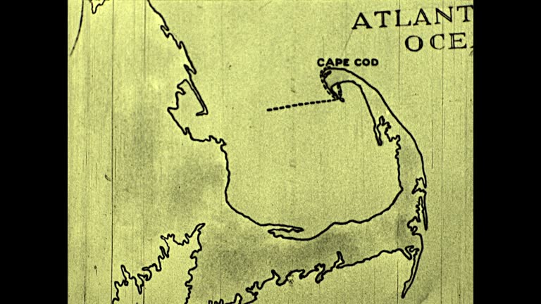
"it was not until the 21st of december that the pilgrims decided upon their landing place, which they lovingly named plymouth after the last port... - northeast us map stock videos & royalty-free footage00:31Pilgrims deciding on landing place in Plymouth, Massachusetts 1920s ReenactmentMap, USA, Pilgrim
wide angle of town street with cherry blossom tree. stone or brick building on left. citgo gas station sign or logo visible. kenmore square. neighborhood. could be college campus building with map directory. middle class. - northeast us map stock videos & royalty-free footage00:49WIDE ANGLE OF TOWN STREET WITH CHERRY BLOSSOM TREE. STONE OR BRICK BUILDING ON LEFT. CITGO GAS STATION SIGN OR LOGO VISIBLE. KENMORE SQUARE. NEIGHBORHOOD. COULD BE COLLEGE CAMPUS BUILDING WITH MAP DIRECTORY. MIDDLE CLASS.Boston - Massachusetts
usa map by states 4k - northeast us map stock videos & royalty-free footage00:18USA map by states 4KArkansas, Map
milky way galaxy over scenic mountain and lake, time lapse video - northeast us map stock videos & royalty-free footage00:11Milky Way Galaxy over Scenic Mountain and Lake, Time Lapse VideoLandscape - Scenery, Change
pan up to portrait of teacher writing at her desk / looking up and smiling at camera / gorham, maine - northeast us map stock videos & royalty-free footage00:11Pan up to portrait of teacher writing at her desk / looking up and smiling at camera / Gorham, MaineMap
milky way and star with mt.cook time lapse movement with mirror reflection lake at lake matheson , west coast , new zealand , tilt up movement - northeast us map stock videos & royalty-free footage00:10Milky way and star with Mt.cook Time Lapse Movement with mirror reflection lake at lake matheson , west coast , new zealand , Tilt up movementConnecticut, Star - Space, Night
milky way time lapse - northeast us map stock videos & royalty-free footage00:24Milky Way Time LapseMeteor Shower, Constellation
usa map by states (7 of 8) sc, sd, tn, tx, ut, vt. loopable. - northeast us map stock videos & royalty-free footage00:54USA map by states (7 of 8) SC, SD, TN, TX, UT, VT. Loopable.Map, Tennessee, USA
usa map by states (5 of 8) nv, nh, nj, nm, ny, nc. loopable. - northeast us map stock videos & royalty-free footage00:54USA map by states (5 of 8) NV, NH, NJ, NM, NY, NC. Loopable.USA, Map
map of new england 'connecticut rhode island massachusetts vermont new hampshire maine.' - northeast us map stock videos & royalty-free footage00:07Map New England
in home w/ unidentified woman showing paper. futuristic map of key west labeled 'julius f. stone jr. administrator' map of florida keys. - northeast us map stock videos & royalty-free footage00:12Julius F. Stone Jr map of Key West
buckingham school. int classroom w/ boy at map, problem pronouncing a city in poland , young girl of polish decent helping him. int clasroom w/ girl... - northeast us map stock videos & royalty-free footage00:571944: SCHOOL: EXT Buckingham School. INT Classroom w/ boy at map, problem pronouncing a city in Poland (Lwow), young girl of Polish decent helping him. INT Clasroom w/ girl at map of Brazil, talking about races there, children & teacher listening.Poland, Education, Black And White