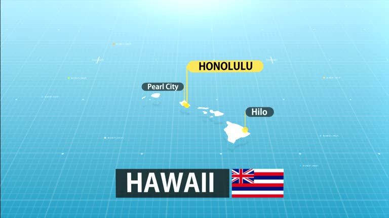
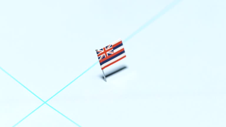
zoom in to hawaii, us from earth. satellite view of the united states of america. cinematic world map animation from outer space to territories. the concept of usa, highlight, globe, aerial view, tourism, travel, journey, cityscape - oahu map stock videos & royalty-free footage00:16Zoom in to Hawaii, US from Earth. Satellite view of the United States of America. Cinematic world map animation from outer space to territories. The concept of USA, highlight, globe, aerial view, tourism, travel, journey, cityscapeHawaii Islands, Big Island - Hawaii Islands, Map
zoom in to hawaii, us from earth. satellite view of the united states of america. cinematic world map animation from outer space to territories. the concept of highlight the state, globe, tourism, travel, journey, aerial view of country, usa - oahu map stock videos & royalty-free footage00:16Zoom in to Hawaii, US from Earth. Satellite view of the United States of America. Cinematic world map animation from outer space to territories. The concept of highlight the state, globe, tourism, travel, journey, aerial view of country, USAHawaii Islands, Map, Big Island - Hawaii Islands
zoom in to hawaii, us from earth. satellite view of the united states of america. cinematic world map animation from outer space to territories. the concept of usa, highlight, globe, aerial view, tourism, travel, journey, cityscape - oahu map stock videos & royalty-free footage00:16Zoom in to Hawaii, US from Earth. Satellite view of the United States of America. Cinematic world map animation from outer space to territories. The concept of USA, highlight, globe, aerial view, tourism, travel, journey, cityscapeBig Island - Hawaii Islands, Hawaii Islands, Map
zoom in to hawaii, us from earth. satellite view of the united states of america. cinematic world map animation from outer space to territories. the concept of usa, highlight, globe, aerial view, tourism, travel, journey, cityscape - oahu map stock videos & royalty-free footage00:16Zoom in to Hawaii, US from Earth. Satellite view of the United States of America. Cinematic world map animation from outer space to territories. The concept of USA, highlight, globe, aerial view, tourism, travel, journey, cityscapeHawaii Islands, Big Island - Hawaii Islands, Map
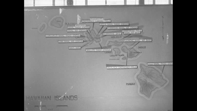
hawaii state map - oahu map stock videos & royalty-free footage00:20Hawaii State MapHawaii Islands, Map
zoom in to hawaii, us from earth. satellite view of the united states of america. cinematic world map animation from outer space to territories. the concept of usa, highlight, globe, aerial view, tourism, travel, journey, cityscape - oahu map stock videos & royalty-free footage00:16Zoom in to Hawaii, US from Earth. Satellite view of the United States of America. Cinematic world map animation from outer space to territories. The concept of USA, highlight, globe, aerial view, tourism, travel, journey, cityscapeHawaii Islands, Big Island - Hawaii Islands, Map
passengers boarding pan am clipper on water crossing gangplank with words pan american airways on side, flight officers assist people down steps to... - oahu map stock videos & royalty-free footage01:57Map compares ocean travel with flying boat travel over PacificMap, Guam, Aeroplane
1959 hawaii transportation and harbor - oahu map stock videos & royalty-free footage01:371959 Hawaii transportation and harborHawaii Islands, Map
honolulu, hawaii june 1970: detailed map of pacific operations, 1942-1945, charting key wwii battles and strategic movements. - oahu map stock videos & royalty-free footage00:28Hawaii 1970, Pacific War Operations Map
flying around the waves of the coastline of kailua-kona bay, hawaii, usa - oahu map stock videos & royalty-free footage00:18Flying around the waves of the coastline of Kailua-Kona Bay, Hawaii, USAAerial View, Hawaii Islands, Big Island - Hawaii Islands
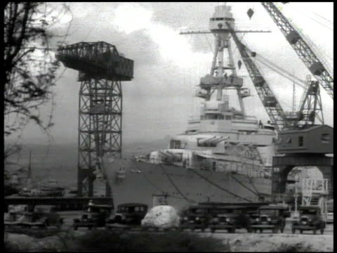
animated map showing triangle connecting tokyo, manila and pearl harbor with planes leaving aircraft carrier and going to pearl harbor / ocean... - oahu map stock videos & royalty-free footage00:57Scenes of US military strength at Pearl Harbor naval base in early 1940sWorld War II, Pearl Harbour Attack, USA
highlighted location of pearl harbor & honolulu. vs u.s. navy war ships docked in hawaii ports map: marking trans-pacific air routes midway wake... - oahu map stock videos & royalty-free footage00:28Navy ships docked in HawaiiPearl Harbour Attack, 1939, Hawaii Islands
"earhart conquers pacific" / pilot amelia earhart standing next to plane being asked question by reporter / earhart taking off from wheeler army... - oahu map stock videos & royalty-free footage01:50Amelia Earhart flies solo from Honolulu, HI, to Oakland, CAAmelia Earhart - Aviator, Hawaii Islands, Map
flying through the clouds over the kailua-kona, big island of hawaii, usa - oahu map stock videos & royalty-free footage00:29Flying through the clouds over the Kailua-Kona, Big Island of Hawaii, USADrone, USA, Overcast
aerial cloudy view waterfront of kailua-kona, big island of hawaii, usa - oahu map stock videos & royalty-free footage00:16Aerial cloudy view waterfront of Kailua-Kona, Big Island of Hawaii, USA
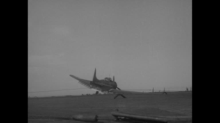
shot from ship of aircraft carrier / plane with one landing gear missing crash lands on deck of carrier / flight deck crew gathers around plane / two... - oahu map stock videos & royalty-free footage00:25Damaged US Navy warplane crash lands on aircraft carrier in South Pacific during World War IICarrying
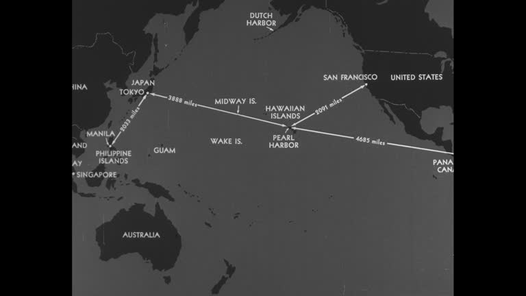
animated map of pacific ocean with islands and surrounding countries, lines appear with most showing distances from various port cities to pearl... - oahu map stock videos & royalty-free footage00:45Map of major port cities in Pacific Ocean; US military in Guam in 1940sGuam, Military Base, World War II
"pacific fliers, san francisco - left to right, harry fores, h s mead, j k von althause, wes loudon and tom darby who will fly from honolulu to us... - oahu map stock videos & royalty-free footage01:48US aviators in San Francisco before flight from Honolulu to San FranciscoHawaii Islands
animated map shows distance flown by record-setting formation of us navy seaplanes; 2,400 miles from san francisco, ca, to honolulu, hi; map compares... - oahu map stock videos & royalty-free footage00:14Animated map shows distances between various points in the Pacific OceanPhilippines, 1930-1939, Japan
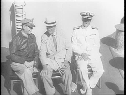
pacific fleet admiral chester nimitz w/ pointer on western pacific map, chief of staff william d. leahy, president franklin d. roosevelt &... - oahu map stock videos & royalty-free footage00:331944: PRESENTATION TO FDRChester Nimitz
oahu island, pearl harbor, honolulu. - oahu map stock videos & royalty-free footage00:03SYNOPSIS: ContentHawaii Islands, 1930-1939
president franklin d roosevelt and his war council , confer in a room with a map of the pacific / general macarthur with pointer points on the map /... - oahu map stock videos & royalty-free footage00:27FDR's Pacific War Conference BeginsFranklin Roosevelt, 1944, General - Military Rank
map highlights pearl harbor, where fdr's pacific war council is meeting / naval base / ship holding many uniformed sailors passes by / row of sailors... - oahu map stock videos & royalty-free footage00:41FDR Arrives At Pacific War Council
map of thailand with animated line of japanese attack / thailand's surrender to japan / montage of thailand monuments / japanese and thai signing... - oahu map stock videos & royalty-free footage01:05Japan Strikes Against Thailand After Pearl Harbor and Hong KongJapan, World War II, Myanmar
fleet of ships off island setting / view of american and australian bomber aircraft flying / fighters / bomb dropping / ship exploding / ship sinking... - oahu map stock videos & royalty-free footage01:01Allied Victory In Pacific and Footage of Pearl Harbor AttacksJapan, Philippines, USA
map of pacific / japanese planes over japanese ship with rising sun flag waiving / japanese airplanes flying over clouds / men in plane / bombs... - oahu map stock videos & royalty-free footage01:44Attack On Pearl HarborPearl Harbour Attack, Newsreel, 1941
map of pacific area with japan to west and united states to east / close-up on island of oahu on map / aerial view of hawaii with beach / shipyard... - oahu map stock videos & royalty-free footage00:55Film Detailing Pearl Harbor AttackPearl Harbour Attack, USS Arizona, 1941
at dock in pearl harbor, hawaii, marines board a transport ship bound for the pacific / montage of marines on the ship / aerial shot of the ship /... - oahu map stock videos & royalty-free footage01:12Marines Battle Japanese In South PacificGuadalcanal Island, Palm Tree, Marching
washington dc state department, a room full of reporters hear news that japan has attacked pearl harbor / different reporters writing, typing, on... - oahu map stock videos & royalty-free footage00:57State Department, Reporters React To Pearl Harbor News1941, Pearl Harbour Attack
"off to play war! san francisco - to retake hawaii from 'friendly enemy'! 30th infantry sails on st. mihiel for army-navy maneuvers" / sot us army... - oahu map stock videos & royalty-free footage02:05US Army officer speaks to other officers in San Francisco about upcoming combined Army-Navy maneuvers landing on Island of Oahu
coast guard officer speaks on the telephone about saving a life as he checks over a map chart circa 1970s across o'ahu, hawaii. - oahu map stock videos & royalty-free footage00:41US Coast Guard Rescue Mission 1970s Hawaii
soldiers look at a map during training exercises at lightning academy at schofield barracks in honolulu, hawaii, us on monday, november 10, 2025. the... - oahu map stock videos & royalty-free footage00:14Soldiers Look At A Map During Training Exercises At Lightning Academy At Schofield Barracks In Honolulu, Hawaii, USMilitary Base, USA, Military Training
newsreel of amelia & george boarding a ship bound for hawaii, 1935: large ocean liner pulling from port, crowd waving good-bye in fg; earhart &... - oahu map stock videos & royalty-free footage02:24Biography: Amelia EarhartAmelia Earhart - Aviator
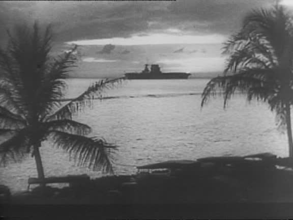
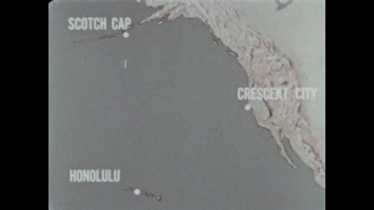
united states footage shows animated pacific maps tracing japanese northern task groups departing honshu for the aleutians and kiska, then freezing... - oahu map stock videos & royalty-free footage04:03Battle of Midway 1942: U.S. Intelligence Anticipates Japanese Invasion and Plans DefenseWorld War II
national hawaii day poster, july 5. 4k - oahu map stock videos & royalty-free footage00:09National Hawaii Day poster, July 5. 4k
large tree toppled onto a vehicle as a strong low-pressure system brought damaging winds, severe thunderstorms, and flash flooding to the hawaiian... - oahu map stock videos & royalty-free footage00:35Tree Topples Onto Car as Severe Storms Slam Honolulu
an early morning beach walk on december 4 turned into a remarkable wildlife encounter for a camper at diamond head beach, new south wales, as a line... - oahu map stock videos & royalty-free footage00:15'Iconic Moment': Kangaroos Leap Across Beach During Woman's Sunrise StrollAnimals In The Wild, Australia, Kangaroo
woman was rescued after being attacked by a nursing monk seal at kaimana beach, honolulu, on sunday, july 24. marine preservation group hawaii marine... - oahu map stock videos & royalty-free footage02:42Endangered Nursing Monk Seal Attacks Swimmer at Honolulu Beach
waves on water - part 26 of 28. with the help of large experimental tanks, the film explains how waves are created and demonstrates that even though waves travel, the water does not move. also points out that high-energy waves are created by underwater ea - oahu map stock videos & royalty-free footage00:35Waves on Water - part 26 of 28. With the help of large experimental tanks, the film explains how waves are created and demonstrates that even though waves travel, the water does not move. Also points out that high-energy waves are created by underwater ea
waves on water - part 25 of 28. with the help of large experimental tanks, the film explains how waves are created and demonstrates that even though waves travel, the water does not move. also points out that high-energy waves are created by underwater ea - oahu map stock videos & royalty-free footage00:36Waves on Water - part 25 of 28. With the help of large experimental tanks, the film explains how waves are created and demonstrates that even though waves travel, the water does not move. Also points out that high-energy waves are created by underwater ea
waves on water - part 24 of 28. with the help of large experimental tanks, the film explains how waves are created and demonstrates that even though waves travel, the water does not move. also points out that high-energy waves are created by underwater ea - oahu map stock videos & royalty-free footage00:31Waves on Water - part 24 of 28. With the help of large experimental tanks, the film explains how waves are created and demonstrates that even though waves travel, the water does not move. Also points out that high-energy waves are created by underwater ea
aerial top shot of green plants with sand at beach, drone moving forward over blue sea - oahu, hawaii - oahu map stock videos & royalty-free footage00:15Aerial Top Shot Of Green Plants With Sand At Beach, Drone Moving Forward Over Blue Sea - Oahu, Hawaii
hawaii - the 50th state - part 7 of 29. presents an overview of hawaii and a brief history of the volcanic formation. reviews the history of early polynesian settlement and the influence of diverse cultures on the present way of life in hawaii - oahu map stock videos & royalty-free footage00:36Hawaii - The 50th State - part 7 of 29. Presents an overview of Hawaii and a brief history of the volcanic formation. Reviews the history of early Polynesian settlement and the influence of diverse cultures on the present way of life in HawaiiHawaii Islands
members of the joint committee on the investigation of the pearl harbor attack and armed servicemen in the senate office building with large wall map... - oahu map stock videos & royalty-free footage00:16Colonel Bernard Thielen testifies before Joint Committee on the Investigation of the Pearl Harbor Attacks
interior of senate office building during meeting of the joint committee on the investigation of the pearl harbor attack as men point to areas on map... - oahu map stock videos & royalty-free footage00:16Maps and pointers during meeting of Pearl Harbor Committee of US Congress and Senate
world war ii / japanese flag on ship of japanese navy / japanese air force in flight / sailors watch planes in air / ships at sea / aerials japanese... - oahu map stock videos & royalty-free footage02:53World War II: Japanese targetsWorld War II, Pearl Harbour Attack, Singapore
"navy planes seek record in flight to honolulu" / group of officers of squadron 10 including leader lt commander knefler mcginnis, planes in bg /... - oahu map stock videos & royalty-free footage00:59Knefler McGinnis's Navy squadron plans flight to HonoluluSan Diego
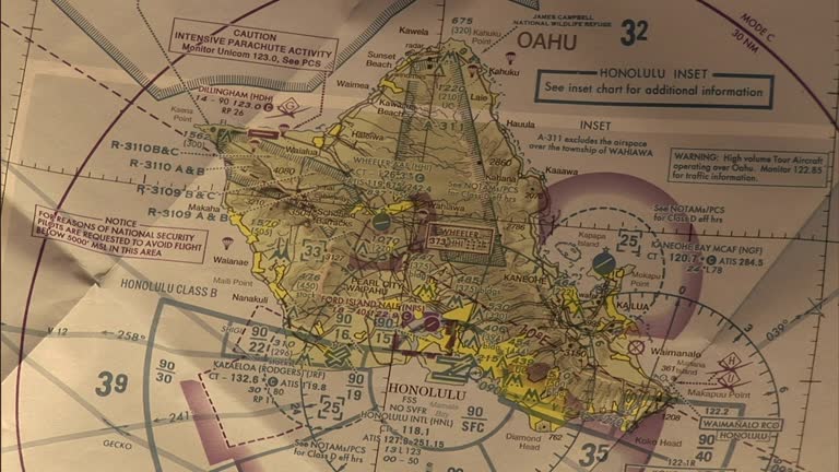
navigation instruments lie on a map of oahu. - oahu map stock videos & royalty-free footage00:10Navigation instruments lie on a map of Oahu.
montage, japanese preparations for pearl harbor attack, animated military maps, planes launch from aircraft carrier. - oahu map stock videos & royalty-free footage01:58montage, Japanese preparations for Pearl Harbor attack, animated military maps, planes launch from aircraft carrier.Pearl Harbour Attack, Aeroplane, Violence
[captured german footage] map of crimea with german words on it / tracer bullets from antiaircraft gun streaking into night sky / antiaircraft gun... - oahu map stock videos & royalty-free footage01:18World War II: German soldiers advancing in Crimea, Russia, and Japanese warplanes attacking Pearl Harbor, HawaiiNight, Crimea, Sky
animated map shows distances between san francisco and honolulu; honolulu and manila; tokyo and honolulu / note: exact month/day not known - oahu map stock videos & royalty-free footage00:14Map illustrates distances between San Francisco and various Pacific Ocean locales