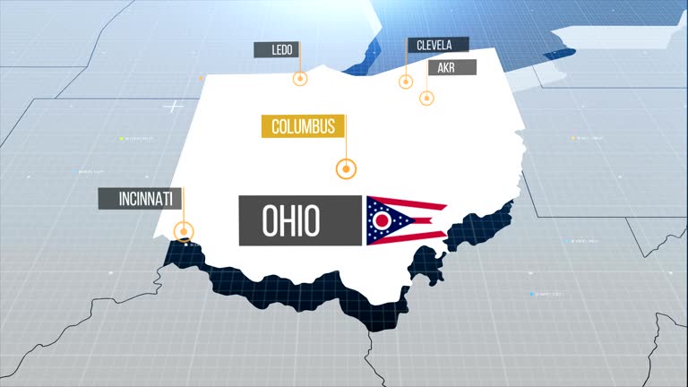
map of ohio united states america usa, 3d animation - ohio state map stock videos & royalty-free footage00:17Map of OHIO United States America USA, 3D AnimationOhio, USA, Map
ohio state map with label then with out label - ohio state map stock videos & royalty-free footage00:20Ohio state map with label then with out labelOhio, Map, USA
ohio state map - ohio state map stock videos & royalty-free footage00:20Ohio State MapOhio, Map, Animated Video
zoom in to ohio, us from earth. satellite view of the united states of america. cinematic world map animation from outer space to territories. the concept of highlight the state, globe, tourism, travel, journey, aerial view of country, usa - ohio state map stock videos & royalty-free footage00:16Zoom in to Ohio, US from Earth. Satellite view of the United States of America. Cinematic world map animation from outer space to territories. The concept of highlight the state, globe, tourism, travel, journey, aerial view of country, USAOhio, USA, Time Lapse
template for vote counting in the state of ohio - ohio state map stock videos & royalty-free footage00:12Template for vote counting in the state of Ohio
thick smoke from wildfires raging across canada descended over the eastern united states, shrouding new york city on july 15. as of july 15, the... - ohio state map stock videos & royalty-free footage01:53Canadian Wildfire Smoke Blankets New York in Hazy Shroud
thick smoke from wildfires raging across canada descended over the eastern united states on july 16, with hazardous air conditions forecast for the... - ohio state map stock videos & royalty-free footage00:51Aerial Footage Shows 'Hazardous' Smoke Cover Michigan
new york residents woke up to a hazy morning on july 16 after smoke from wildfires raging across canada descended over the eastern united states.... - ohio state map stock videos & royalty-free footage00:26Canadian Wildfire Smoke Clouds Buffalo Skies
new york residents woke to a hazy morning on july 16 after smoke from wildfires raging across canada descended over the eastern united states. drone... - ohio state map stock videos & royalty-free footage05:10Drone Footage Captures 'Intense' Wildfire Smoke Over Buffalo
zoom in to the map of ohio state - ohio state map stock videos & royalty-free footage00:09Zoom in to the map of Ohio state
school bus driver swiftly evacuated 15 children after a fire broke out on the bus in cleveland heights, ohio, on thursday, february 27, according to... - ohio state map stock videos & royalty-free footage00:59Bus Driver Swiftly Evacuates 15 Children From Flaming School Bus
snowcat was used to help clear debris in lakeview, ohio, on march 17, after a deadly https://www.weather.gov/iln/20240314_auglaize_logan tornado tore... - ohio state map stock videos & royalty-free footage04:04Snowcat Used to Clear Debris After Deadly Tornado
onlookers in madison, indiana, were stunned to see a https://twitter.com/nwslouisville/status/1768572589839110301 tornado moving down the ohio river... - ohio state map stock videos & royalty-free footage01:36'That Is Insane!': Onlookers Stunned as Tornado Moves Across Ohio River
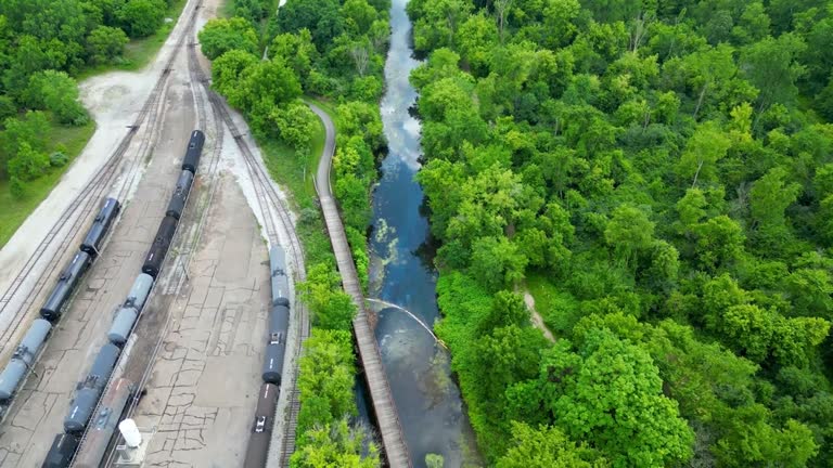
drone footage filmed over barberton, ohio, on july 11, showed the impact of an oil spill on the tuscarawas river, almost a week after the incident... - ohio state map stock videos & royalty-free footage02:23Drone Footage Captures Oil Spill That Turned River in Ohio Black
officials in ohio's clark county said recovery and clean up operations were continuing on monday, march 6, following a norfolk southern train... - ohio state map stock videos & royalty-free footage01:23No Public Health Risk After Second Norfolk Southern Train Derails in Ohio, Officials SaySpringfield - Ohio
mississippi river map before and after the flood - ohio state map stock videos & royalty-free footage01:40Mississippi River map before and after the floodGreat Depression, River Mississippi, Valley
pros asking for sympathy. we know how this happened. horrible. solliciting sympathy need to look at he facts. that is the hardest part but you said... - ohio state map stock videos & royalty-free footage02:02OH v. Anthony Pardon Trial - DEFENSE CLOSING ARGUMENT - LARRY THOMAS
what is pen link? data software program we use for cell phones. what is a switch? generated by sprint, a region of towers. cell site number would be... - ohio state map stock videos & royalty-free footage01:01OH v. Anthony Pardon Trial - JENNIFER LESTER - CELL PHONE DATA ANALYST - DIRECT
ohio city road sign over cloudy sky - stok video - ohio state map stock videos & royalty-free footage00:20Ohio city road sign over cloudy sky - Stok video
usa, state of colorado - ohio state map stock videos & royalty-free footage00:15USA, State of Colorado
usa, state of colorado - ohio state map stock videos & royalty-free footage00:06USA, State of Colorado
usa, state of ohio - ohio state map stock videos & royalty-free footage00:08USA, State of OhioOhio, Animated Video
usa, state of colorado - ohio state map stock videos & royalty-free footage00:08USA, State of Colorado
usa, state of colorado - ohio state map stock videos & royalty-free footage00:07USA, State of Colorado
usa, state of colorado - ohio state map stock videos & royalty-free footage00:07USA, State of Colorado
usa, state of ohio - ohio state map stock videos & royalty-free footage00:07USA, State of OhioOhio, Map
usa, state of colorado - ohio state map stock videos & royalty-free footage00:08USA, State of Colorado