northwestern states (2nd edition) - part 6 of 19. represents the northwestern states as the "breadbasket of the nation" and stresses the importance of their agricultural and mineral resources. animated maps illustrate the region's geographical characteris - old colorado map stock videos & royalty-free footage00:30Northwestern States (2nd edition) - part 6 of 19. Represents the Northwestern States as the "breadbasket of the nation" and stresses the importance of their agricultural and mineral resources. Animated maps illustrate the region's geographical characterisMormonism, 1950-1959, Map
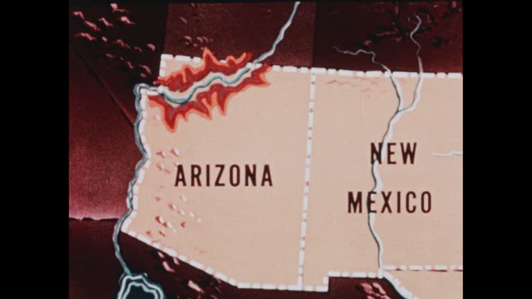
southwestern states (2nd edition) - part 2 of 19. traces population trends and explains geographical features by means of animated maps. illustrates such occupational activities as irrigation, stock raising, agriculture, mining, and oil extracting and ref - old colorado map stock videos & royalty-free footage00:30Southwestern States (2nd edition) - part 2 of 19. Traces population trends and explains geographical features by means of animated maps. Illustrates such occupational activities as irrigation, stock raising, agriculture, mining, and oil extracting and refMap, Archival, Old-fashioned
northwestern states (2nd edition) - part 7 of 19. represents the northwestern states as the "breadbasket of the nation" and stresses the importance of their agricultural and mineral resources. animated maps illustrate the region's geographical characteris - old colorado map stock videos & royalty-free footage00:33Northwestern States (2nd edition) - part 7 of 19. Represents the Northwestern States as the "breadbasket of the nation" and stresses the importance of their agricultural and mineral resources. Animated maps illustrate the region's geographical characterisUSA, Butte - Montana, Map
northwestern states (2nd edition) - part 2 of 19. represents the northwestern states as the "breadbasket of the nation" and stresses the importance of their agricultural and mineral resources. animated maps illustrate the region's geographical characteris - old colorado map stock videos & royalty-free footage00:31Northwestern States (2nd edition) - part 2 of 19. Represents the Northwestern States as the "breadbasket of the nation" and stresses the importance of their agricultural and mineral resources. Animated maps illustrate the region's geographical characterisGrass, Map, Kansas
hiking couple work out directions on tailgate of truck - old colorado map stock videos & royalty-free footage00:11Hiking couple work out directions on tailgate of truckPeople, Mountain, Colorado
us regions: contrasts of land and people - part 41 of 53. using both animation and live-action photography, this film enables viewers to tour a richly diverse country that can be divided into eight regions: new england, the middle atlantic, the south, the - old colorado map stock videos & royalty-free footage00:32US Regions: Contrasts of Land and People - part 41 of 53. Using both animation and live-action photography, this film enables viewers to tour a richly diverse country that can be divided into eight regions: New England, the Middle Atlantic, the South, the1980-1989, Snow, Town
"colorado" superimposed over mountains / bob melzer / melzer marks mountain peaks that he has climbed on map / melzer and mom pack rucksack /... - old colorado map stock videos & royalty-free footage00:56Eight-year-old Bob Melzer climbs mountains
hundreds of spectators flocked to a colorado town on may 25 to watch the annual idaho springs burro race, a decades-old tradition that sees... - old colorado map stock videos & royalty-free footage00:39Donkeys Dash Through Colorado Town in 80-Year-Old Racing Tradition
man suspected of a hit-and-run spree drove his car into a football stadium at the university of colorado in boulder while trying to evade police on... - old colorado map stock videos & royalty-free footage00:30Hit-and-Run Suspect Drives Truck Into University Stadium During Police ChaseCrash
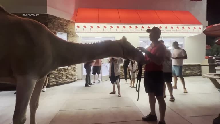
man was filmed escorting his camel through the drive-thru line at an in-n-out burger restaurant in las vegas, nevada, on tuesday, october 4. video... - old colorado map stock videos & royalty-free footage04:16Camel Spotted Going Through In-N-Out Burger Drive-Thru in Las Vegas
dog managed to keep it together as his family encountered a black bear while driving in estes park, colorado, on july 19. misti marcantonio captured... - old colorado map stock videos & royalty-free footage01:09Dog Holds It Together After Spotting Black Bear in Estes Park
problems of conservation: water - part 3 of 28. focusing on some of southern california's problems, the film shows innovative ways to increase water supplies - percolation ponds, desalination of salt water, artificial weather control. this film also point - old colorado map stock videos & royalty-free footage00:32Problems of Conservation: Water - part 3 of 28. Focusing on some of Southern California's problems, the film shows innovative ways to increase water supplies - percolation ponds, desalination of salt water, artificial weather control. This film also pointFactory, California, Problems
problems of conservation: water - part 2 of 28. focusing on some of southern california's problems, the film shows innovative ways to increase water supplies - percolation ponds, desalination of salt water, artificial weather control. this film also point - old colorado map stock videos & royalty-free footage00:29Problems of Conservation: Water - part 2 of 28. Focusing on some of Southern California's problems, the film shows innovative ways to increase water supplies - percolation ponds, desalination of salt water, artificial weather control. This film also pointDam, California
southwestern states (2nd edition) - part 3 of 19. traces population trends and explains geographical features by means of animated maps. illustrates such occupational activities as irrigation, stock raising, agriculture, mining, and oil extracting and ref - old colorado map stock videos & royalty-free footage00:30Southwestern States (2nd edition) - part 3 of 19. Traces population trends and explains geographical features by means of animated maps. Illustrates such occupational activities as irrigation, stock raising, agriculture, mining, and oil extracting and refMap, 1950-1959
northwestern states (2nd edition) - part 5 of 19. represents the northwestern states as the "breadbasket of the nation" and stresses the importance of their agricultural and mineral resources. animated maps illustrate the region's geographical characteris - old colorado map stock videos & royalty-free footage00:33Northwestern States (2nd edition) - part 5 of 19. Represents the Northwestern States as the "breadbasket of the nation" and stresses the importance of their agricultural and mineral resources. Animated maps illustrate the region's geographical characterisKansas, 1950-1959
hiking couple map out route on truck tailgate - old colorado map stock videos & royalty-free footage00:18Hiking couple map out route on truck tailgate