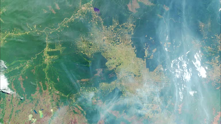
in an aerial view from the etv-a1 satellite in space, the amazon river and amazon rainforest are seen on august 12, 2023 from space. the video was... - satellite image forest stock videos & royalty-free footage01:26River Amazon - Aerial Views From Satellite In Space - Sen VideoSatellite View, Aerial View, Amazon Rainforest
in an aerial view from the etv-a1 satellite in space, the river amazon and amazon rainforest can be seen on july 5, 2024 from space. the video was... - satellite image forest stock videos & royalty-free footage01:29The River Amazon - Aerial Views From Satellite In Space - Sen VideoSatellite View, Amazon Rainforest, Amazon Region
tunguska impact - satellite image forest stock videos & royalty-free footage00:35Tunguska impactSiberia, Meteor, Tunguska Event
amazon deforestation, 2000-2012 - satellite image forest stock videos & royalty-free footage00:26Amazon deforestation, 2000-2012Deforestation, Amazon Rainforest, Amazon Region
amazon deforestation, 2000-2012 - satellite image forest stock videos & royalty-free footage00:20Amazon deforestation, 2000-2012Satellite View, Satellite, Amazon Rainforest
t/l ws zi simulated zoom into amazon rain forest from earth orbit - satellite image forest stock videos & royalty-free footage00:30T/L WS ZI Simulated zoom into Amazon rain forest from Earth orbitSatellite View, Amazon Rainforest, Time Lapse
deforestation, brazil, 1975-2001. this series of landsat satellite images shows the deforestation in the rondonia region of brazil over 26 years - satellite image forest stock videos & royalty-free footage00:05Deforestation, Brazil, 1975-2001. This series of Landsat satellite images shows the deforestation in the Rondonia region of Brazil over 26 yearsDeforestation, Amazon Region, Amazon Rainforest
in an aerial view from the etv-a1 satellite in space, wild fires are seen in the amazon on august 13, 2024 from space. the video was captured by the... - satellite image forest stock videos & royalty-free footage01:49Amazon Wild Fires - Aerial Views From Satellite In Space - Sen VideoAmazon Rainforest, Amazon Region, Satellite View
amazon river, animated satellite image - satellite image forest stock videos & royalty-free footage00:12Amazon River, animated satellite imageSatellite View, Rainforest
plantation with satellite view - satellite image forest stock videos & royalty-free footage00:14Plantation with satellite viewFarm, Satellite View, Satellite
praslin island seychelles satellite view waves at anse georgette - satellite image forest stock videos & royalty-free footage00:19Praslin Island Seychelles Satellite View Waves at Anse GeorgetteSatellite View, Rainforest, Video
the lush maya biosphere reserve in the north of guatemala threatened by deforestation and the illegal trafficking of animals will be monitored with... - satellite image forest stock videos & royalty-free footage03:55CLEAN : Satellite technology to track deforestation in Guatemala reserveForest, Destruction, Satellite View
a time-lapse video capturing a mountain range covered in mist and a lush green landscape below, with clouds moving across the sky, creating a dynamic and serene atmosphere. - satellite image forest stock videos & royalty-free footage00:06A time-lapse video capturing a mountain range covered in mist and a lush green landscape below, with clouds moving across the sky, creating a dynamic and serene atmosphere.Satellite View
in an aerial view from the etv-a1 satellite in space, wild fire smoke from forest fires in bolivia fills the skies on september 3, 2024 from space.... - satellite image forest stock videos & royalty-free footage01:49Bolivia Wild Fires - Aerial Views From Satellite In Space - Sen VideoBolivia, Satellite View
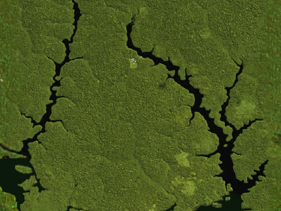
forest satellite view - 4k resolution - satellite image forest stock videos & royalty-free footage00:28Forest Satellite View - 4K ResolutionForest, Water
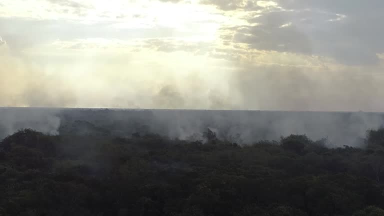
forest fire drone point of view - 4k resolution - satellite image forest stock videos & royalty-free footage00:26Forest Fire Drone Point of View - 4K ResolutionBurnt, Forest, Satellite View
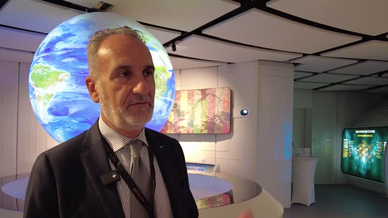
private enterprises which entered the space field, such as spacex, expanded the market and increased the competition and interest in space, a... - satellite image forest stock videos & royalty-free footage03:20Space firms step up competition, interest in space: European officialData, SpaceX, Climate
planet earth seen from space. high angle view from the international space station - satellite image forest stock videos & royalty-free footage00:42Planet Earth seen from space. High angle view from the International Space Station
planet earth seen from space. the international space station explores every corner of our beautiful blue planet - satellite image forest stock videos & royalty-free footage00:36Planet Earth seen from Space. The International Space Station explores every corner of our beautiful blue planet
cgi satellite view zoom in toward map of earth's surface + snow-covered forest - satellite image forest stock videos & royalty-free footage00:02CGI SATELLITE VIEW zoom in toward map of Earth's surface + snow-covered forest
bolivia's space agency and the bolivian catholic university sign an agreement to develop waskiri-sat, a nanosatellite designed to monitor forest... - satellite image forest stock videos & royalty-free footage03:30CLEAN : 'Happy to be part of this big world': Bolivia unveils plans for first home-built satellite
satellite orbital remote sensing surveying technologies - satellite image forest stock videos & royalty-free footage00:09Satellite Orbital Remote Sensing Surveying Technologies
satellite orbital remote sensing surveying technologies - satellite image forest stock videos & royalty-free footage00:11Satellite Orbital Remote Sensing Surveying Technologies
earth satellite view of the strait of malacca - satellite image forest stock videos & royalty-free footage00:15Earth Satellite View of The Strait Of MalaccaAerial View
4k makemake rotation – detailed dwarf planet in outer solar system - satellite image forest stock videos & royalty-free footage00:194K Makemake Rotation – Detailed Dwarf Planet in Outer Solar SystemMakemake - Dwarf Planet
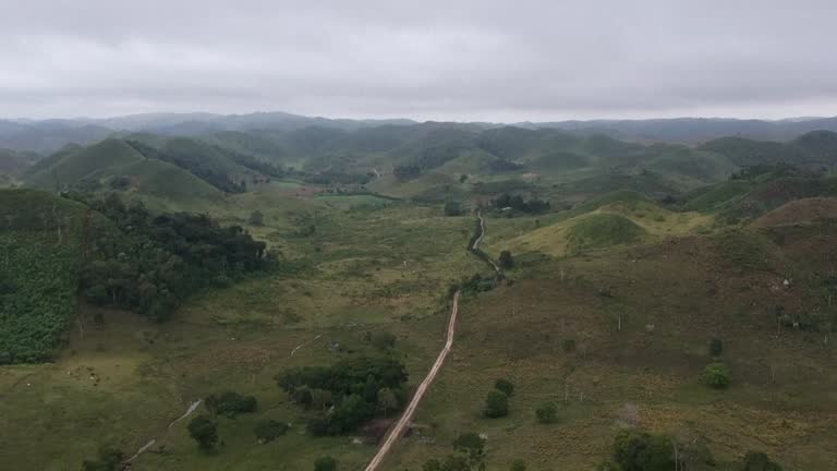
aerial view of dirt road crossroads in green countryside with rural tracks and paths - satellite image forest stock videos & royalty-free footage00:30Aerial View of Dirt Road Crossroads in Green Countryside With Rural Tracks and PathsCrossroad, Footpath
dark night sky with shooting star and bright stars - satellite image forest stock videos & royalty-free footage00:05Dark Night Sky with Shooting Star and Bright Stars
4k aerial dolly out and rotate shot: straight road through dense green rainforest canopy reveals winding jungle landscape - satellite image forest stock videos & royalty-free footage00:134K Aerial Dolly Out and Rotate Shot: Straight Road Through Dense Green Rainforest Canopy Reveals Winding Jungle Landscape
4k aerial dolly in and rotate shot: straight road through dense green rainforest canopy reveals winding jungle landscape - satellite image forest stock videos & royalty-free footage00:194K Aerial Dolly in and Rotate Shot: Straight Road Through Dense Green Rainforest Canopy Reveals Winding Jungle Landscape
amazon basin, animated satellite image - satellite image forest stock videos & royalty-free footage00:12Amazon Basin, animated satellite image
a time-lapse video capturing a mountain range covered in mist and a lush green landscape below, with clouds moving across the sky, creating a dynamic and serene atmosphere. - satellite image forest stock videos & royalty-free footage00:08A time-lapse video capturing a mountain range covered in mist and a lush green landscape below, with clouds moving across the sky, creating a dynamic and serene atmosphere.
aerial view of trucks on highway interchange shows realtime traffic flow, logistics, transport, and urban planning - satellite image forest stock videos & royalty-free footage00:05Aerial view of trucks on highway interchange shows realtime traffic flow, logistics, transport, and urban planning
aerial drone shot of beautiful colorado mountains covered in snow - satellite image forest stock videos & royalty-free footage00:13Aerial drone shot of beautiful Colorado mountains covered in snowColorado, Snow, Winter
drone aerial shot of rural mountain houses surrounded by snow - satellite image forest stock videos & royalty-free footage00:10Drone aerial shot of rural mountain houses surrounded by snow
panning drone shot of snow-covered mountains as car drives by on street - satellite image forest stock videos & royalty-free footage00:17Panning drone shot of snow-covered mountains as car drives by on street
aerial drone shot pans from mountain houses to snow-covered forest - satellite image forest stock videos & royalty-free footage00:12Aerial drone shot pans from mountain houses to snow-covered forest
aerial drone shot pans over forest of dead trees and houses covered in snow - satellite image forest stock videos & royalty-free footage00:13Aerial drone shot pans over forest of dead trees and houses covered in snowTelluride, Winter, Skiing
aerial drone shot pushing in on snow-covered mountaintop in telluride, colorado - satellite image forest stock videos & royalty-free footage00:15Aerial drone shot pushing in on snow-covered mountaintop in Telluride, Colorado
aerial shot pushes in on small cabin and snow-covered mountain peaks - satellite image forest stock videos & royalty-free footage00:11Aerial shot pushes in on small cabin and snow-covered mountain peaks
aerial drone video of rural houses on mountain in telluride, colorado - satellite image forest stock videos & royalty-free footage00:08Aerial drone video of rural houses on mountain in Telluride, Colorado
aerial drone shot showing large wooden house on snowy mountaintop - satellite image forest stock videos & royalty-free footage00:10Aerial drone shot showing large wooden house on snowy mountaintopDrone, Showing
bus station - bus parking lot - bus stop - 4k resolution - satellite image forest stock videos & royalty-free footage00:30Bus Station - Bus Parking Lot - Bus Stop - 4K Resolution
bus station - bus parking lot - bus stop - 4k resolution - satellite image forest stock videos & royalty-free footage00:30Bus Station - Bus Parking Lot - Bus Stop - 4K Resolution
bus station - bus parking lot - bus stop - 4k resolution - satellite image forest stock videos & royalty-free footage00:30Bus Station - Bus Parking Lot - Bus Stop - 4K Resolution
bus station - bus parking lot - bus stop - 4k resolution - satellite image forest stock videos & royalty-free footage00:30Bus Station - Bus Parking Lot - Bus Stop - 4K Resolution
lakeside satellite view - 4k resolution - satellite image forest stock videos & royalty-free footage00:28Lakeside Satellite View - 4K ResolutionLake, Pine Tree, Large
forest fire aerial view - 4k resolution - satellite image forest stock videos & royalty-free footage00:26Forest Fire Aerial View - 4K Resolution
autumn aerial drone shot of basketball court in city park - satellite image forest stock videos & royalty-free footage00:10Autumn aerial drone shot of basketball court in city park
autumn aerial drone shot of basketball court in city park - satellite image forest stock videos & royalty-free footage00:23Autumn aerial drone shot of basketball court in city park
autumn aerial drone shot of basketball court in city park - satellite image forest stock videos & royalty-free footage00:33Autumn aerial drone shot of basketball court in city park
autumn aerial drone shot of basketball court in city park - satellite image forest stock videos & royalty-free footage00:22Autumn aerial drone shot of basketball court in city park
autumn aerial drone shot of basketball court in city park - satellite image forest stock videos & royalty-free footage00:10Autumn aerial drone shot of basketball court in city park
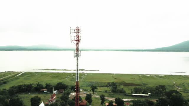
drone point of view of a communication tower - satellite image forest stock videos & royalty-free footage00:12Drone point of view of a communication towerMobile Phone
aerial view of 4g and 5g tower with antennas and satellites - satellite image forest stock videos & royalty-free footage00:11Aerial view of 4G and 5G tower with antennas and satellites
drone flying high above the golden rice fields - satellite image forest stock videos & royalty-free footage00:12Drone flying high above the golden rice fields
man waving wave to the drone camera ascending until a satellite-like view - satellite image forest stock videos & royalty-free footage00:07Man waving wave to the drone camera ascending until a satellite-like view
couple waving wave to the drone camera ascending until a satellite-like view - satellite image forest stock videos & royalty-free footage00:07Couple waving wave to the drone camera ascending until a satellite-like view
la cantidad de incendios forestales en la amazonía brasileña subió el mes pasado un 28% respecto a julio de 2019, según datos satelitales divulgados... - satellite image forest stock videos & royalty-free footage01:42VOICED : Incendios en la Amazonía brasileña aumentaron en julio
directly above drone footage roaming streets of residential district with vegetation and luxury homes. - satellite image forest stock videos & royalty-free footage00:32Directly above drone footage roaming streets of residential district with vegetation and luxury homes.
directly above drone footage roaming streets of residential district with vegetation and luxury homes. - satellite image forest stock videos & royalty-free footage00:40Directly above drone footage roaming streets of residential district with vegetation and luxury homes.
the island seychelles island source of silver beach satellite view video - satellite image forest stock videos & royalty-free footage00:20The Island Seychelles Island Source Of Silver Beach Satellite View Video
praslin island seychelles satellite view indian ocean coast textures 4k video - satellite image forest stock videos & royalty-free footage00:14Praslin Island Seychelles Satellite View Indian Ocean Coast Textures 4K Video
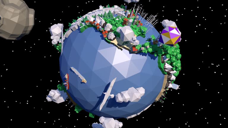
a 360 low poly earth loop - satellite image forest stock videos & royalty-free footage00:20A 360 Low Poly Earth LoopPlanet - Space, Cartoon, Animated Video
low poly earth - satellite image forest stock videos & royalty-free footage00:30Low Poly EarthLow-Poly-Modelling, Computer Graphic, Digitally Generated Image