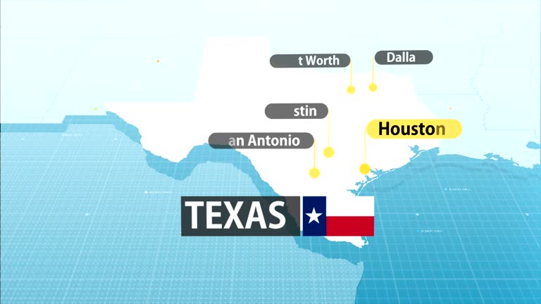
texas state map with label then with out label - texas state map stock videos & royalty-free footage00:20Texas state map with label then with out labelTexas, Map
texas state map - texas state map stock videos & royalty-free footage00:20Texas State MapMap, City, Houston
zoom in to texas, us from earth. satellite view of the united states of america. cinematic world map animation from outer space to territories. the concept of highlight the state, globe, tourism, travel, journey, aerial view of country, usa - texas state map stock videos & royalty-free footage00:16Zoom in to Texas, US from Earth. Satellite view of the United States of America. Cinematic world map animation from outer space to territories. The concept of highlight the state, globe, tourism, travel, journey, aerial view of country, USATexas, Map, Dallas - Texas
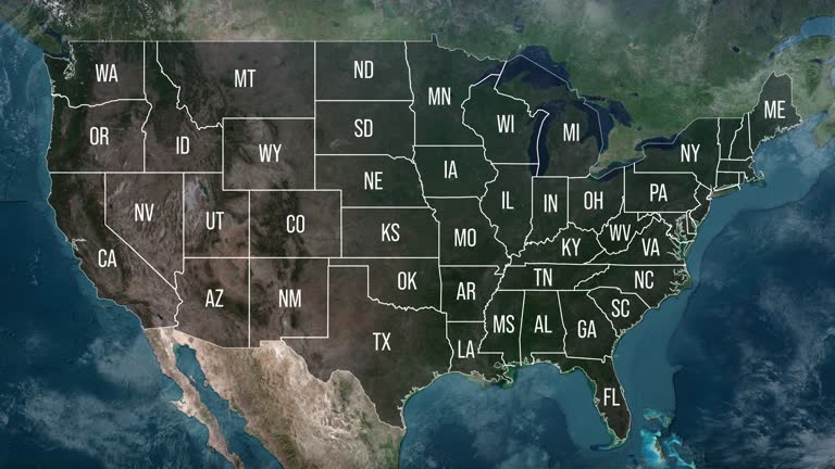
zoom in to united states from earth. highlighted us state abbreviations, satellite view of the us of america. cinematic world map animation from outer space to territories. the concept of usa, highlight, globe, aerial view, - texas state map stock videos & royalty-free footage00:20Zoom in to United States from Earth. Highlighted US State Abbreviations, Satellite view of the US of America. Cinematic world map animation from outer space to territories. The concept of USA, highlight, globe, aerial view,USA, Map, Globe - Navigational Equipment
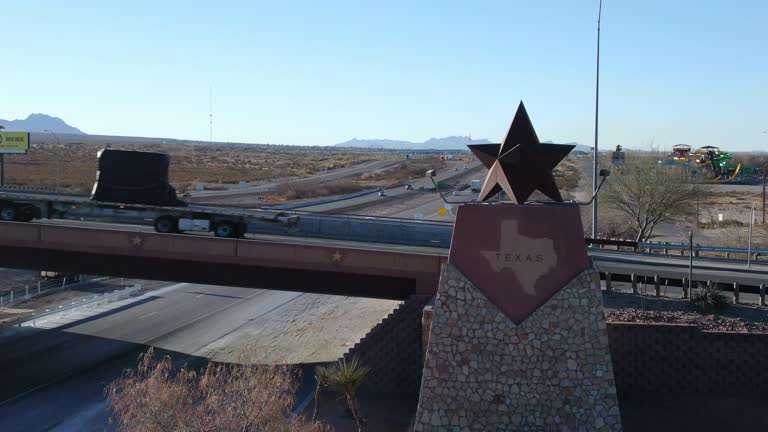
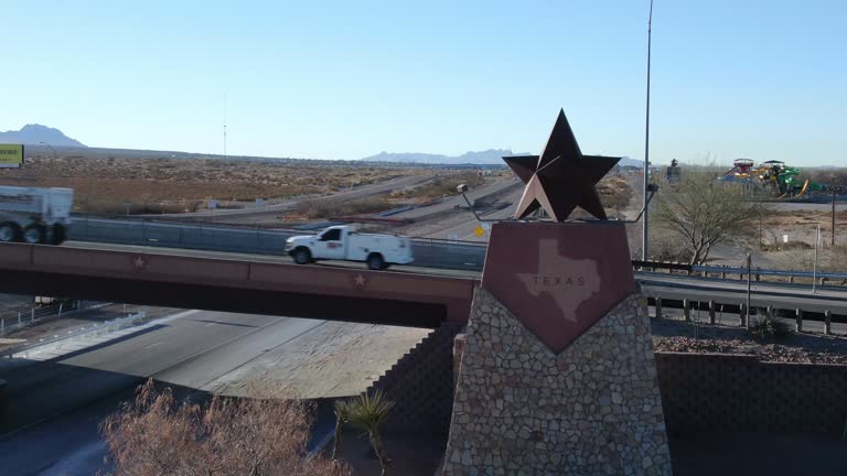
panning drone view of the texas border, state line marker coming from anthony, new mexico entering el paso county - texas state map stock videos & royalty-free footage00:06Panning Drone View of the Texas Border, State Line Marker Coming From Anthony, New Mexico Entering El Paso CountyTexas, Map, El Paso - Texas
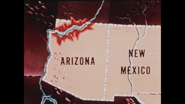
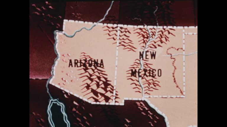
southwestern states (2nd edition) - part 2 of 19. traces population trends and explains geographical features by means of animated maps. illustrates such occupational activities as irrigation, stock raising, agriculture, mining, and oil extracting and ref - texas state map stock videos & royalty-free footage00:30Southwestern States (2nd edition) - part 2 of 19. Traces population trends and explains geographical features by means of animated maps. Illustrates such occupational activities as irrigation, stock raising, agriculture, mining, and oil extracting and refMap, Archival, Old-fashioned
zoom in to united states from earth. highlighted us state abbreviations, satellite view of the us of america. cinematic world map animation from outer space to territories. the concept of usa, highlight, globe, aerial view, - texas state map stock videos & royalty-free footage00:20Zoom in to United States from Earth. Highlighted US State Abbreviations, Satellite view of the US of America. Cinematic world map animation from outer space to territories. The concept of USA, highlight, globe, aerial view,Map, USA, Texas
the westward movement iv - texas and the mexican war - part 29 of 31. the film reviews the causes of the texas settlers' revolt, which led to independence for texas; ties the annexation of texas to issues of slavery and territorial expansion. it points o - texas state map stock videos & royalty-free footage00:28The Westward Movement IV - Texas and the Mexican War - part 29 of 31. The film reviews the causes of the Texas settlers' revolt, which led to independence for Texas; ties the annexation of Texas to issues of slavery and territorial expansion. It points o
panning drone view of the texas border, state line marker coming from anthony, new mexico entering el paso county - texas state map stock videos & royalty-free footage00:06Panning Drone View of the Texas Border, State Line Marker Coming From Anthony, New Mexico Entering El Paso CountyTexas, Driving, Dallas - Texas
southwestern states (2nd edition) - part 1 of 19. traces population trends and explains geographical features by means of animated maps. illustrates such occupational activities as irrigation, stock raising, agriculture, mining, and oil extracting and ref - texas state map stock videos & royalty-free footage00:29Southwestern States (2nd edition) - part 1 of 19. Traces population trends and explains geographical features by means of animated maps. Illustrates such occupational activities as irrigation, stock raising, agriculture, mining, and oil extracting and refMap, USA, New Mexico
southwestern states (2nd edition) - part 10 of 19. traces population trends and explains geographical features by means of animated maps. illustrates such occupational activities as irrigation, stock raising, agriculture, mining, and oil extracting and re - texas state map stock videos & royalty-free footage00:37Southwestern States (2nd edition) - part 10 of 19. Traces population trends and explains geographical features by means of animated maps. Illustrates such occupational activities as irrigation, stock raising, agriculture, mining, and oil extracting and re
panning drone view of the texas border, state line marker coming from anthony, new mexico entering el paso county - texas state map stock videos & royalty-free footage00:08Panning Drone View of the Texas Border, State Line Marker Coming From Anthony, New Mexico Entering El Paso CountyTexas, El Paso - Texas, Map
rep. terri sewell says, "just two years ago, the supreme court decided in the milligan case that my home state of alabama violated the voting rights... - texas state map stock videos & royalty-free footage01:04House Democratic Leaders Hold Press Conference Ahead Of TX Redistricting HearingsSupreme Court, Map, Texas
democratic texas congresswoman sylvia garcia, who represents a large houston district, addresses voters after the republican-controlled state... - texas state map stock videos & royalty-free footage07:59CLEAN : Minorities stand to lose in Trump's Texas vote map redo
california governor gavin newsom says "this is the difference between what's happening in texas and what's happening here in california, they receive... - texas state map stock videos & royalty-free footage00:26SPEECH - California Governor Newsom Makes Announcement On Gerrymandering In Response To Trump's Efforts In TexasCalifornia, Map
zoom in to kentucky, us from earth. satellite view of the united states of america. cinematic world map animation from outer space to territories. the concept of highlight the state, globe, tourism, travel, journey, aerial view of country, usa - texas state map stock videos & royalty-free footage00:16Zoom in to Kentucky, US from Earth. Satellite view of the United States of America. Cinematic world map animation from outer space to territories. The concept of highlight the state, globe, tourism, travel, journey, aerial view of country, USAMap
recounts the history of texas and the southwest from the sixteenth to the mid-nineteenth century - texas state map stock videos & royalty-free footage00:371950s: Map of Texas Republic. Close up, hand signing documentConfederate States of America, Map, Texas
3d representation of the united states with colorful state boundaries and elevations showcased in a visual display. 3d animation - texas state map stock videos & royalty-free footage00:083D representation of the United States with colorful state boundaries and elevations showcased in a visual display. 3D animationUSA, Map, American Culture
the westward movement iv - texas and the mexican war - part 27 of 31. the film reviews the causes of the texas settlers' revolt, which led to independence for texas; ties the annexation of texas to issues of slavery and territorial expansion. it points o - texas state map stock videos & royalty-free footage00:35The Westward Movement IV - Texas and the Mexican War - part 27 of 31. The film reviews the causes of the Texas settlers' revolt, which led to independence for Texas; ties the annexation of Texas to issues of slavery and territorial expansion. It points oMap, War
panning drone view of the texas border, state line marker coming from anthony, new mexico entering el paso county - texas state map stock videos & royalty-free footage00:07Panning Drone View of the Texas Border, State Line Marker Coming From Anthony, New Mexico Entering El Paso CountyTexas, Sign, El Paso - Texas
guadalupe river overflowed and poured water onto the streets of kerrville, texas, on friday, july 4, contributing to widespread flooding that killed... - texas state map stock videos & royalty-free footage01:03Fast-Rising River Floods Streets in Central TexasFlood, Texas
usa, state of texas - texas state map stock videos & royalty-free footage00:08USA, State of TexasMap, USA
zoom in to the map of texas state - texas state map stock videos & royalty-free footage00:10Zoom in to the map of Texas state
travel airlines - texas state map stock videos & royalty-free footage00:29Travel airlinesMap, London - England, Dubai
us regions: contrasts of land and people - part 14 of 53. using both animation and live-action photography, this film enables viewers to tour a richly diverse country that can be divided into eight regions: new england, the middle atlantic, the south, the - texas state map stock videos & royalty-free footage00:35US Regions: Contrasts of Land and People - part 14 of 53. Using both animation and live-action photography, this film enables viewers to tour a richly diverse country that can be divided into eight regions: New England, the Middle Atlantic, the South, theCitrus Fruit, Industry, Texas
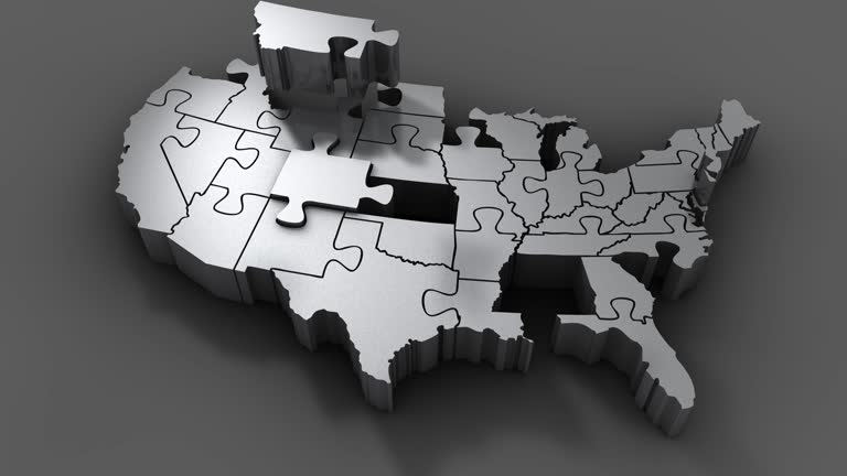
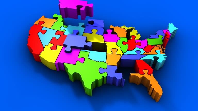
puzzle usa map - texas state map stock videos & royalty-free footage00:11Puzzle USA MapUSA, Map, American Culture
time lapse of the texas border, state line marker coming from anthony, new mexico entering el paso county - texas state map stock videos & royalty-free footage00:14Time Lapse of the Texas Border, State Line Marker Coming From Anthony, New Mexico Entering El Paso CountyTexas, El Paso - Texas, Traffic
"has world too many people?" / various shots crowd in street in china / looking down on crowd in india / crowd in nyc / animated whirling globe... - texas state map stock videos & royalty-free footage02:14Animation of populations fitting into geographical areasIndia, Globe - Navigational Equipment, Map
travel airlines background - texas state map stock videos & royalty-free footage00:29Travel airlines BackgroundAir Traffic Control Tower, Map
travel airloines background - texas state map stock videos & royalty-free footage00:14Travel airloines BackgroundAir Traffic Control Tower, Travel Agency, Map
voters in the u.s. state of california casted their ballots monday, nov. 3, in a special election on proposition 50, a controversial constitutional... - texas state map stock videos & royalty-free footage00:44Californians vote on Prop 50, a measure to redraw congressional districtsBallot Slip, California
california congressman kevin kiley discusses a gerrymandering initiative in california made by governor gavin newsom in response to recently passed... - texas state map stock videos & royalty-free footage01:03Congressman Kiley argues Governor Newsom redistricting plan would throw out congressional district map independent commission already drew as special election would cost millions
california governor gavin newsom calls for a special ballot measure to allow midterm redistricting in response to political manipulation in other... - texas state map stock videos & royalty-free footage01:03SPEECH - California Governor Newsom Makes Announcement On Gerrymandering In Response To Trump's Efforts In TexasDonald Trump - US President, California, Effort
the only bridge into a neighborhood in leander, texas, was not safe to pass in vehicles after it was damaged by extreme flooding over the 4th of july... - texas state map stock videos & royalty-free footage06:42Texas Neighborhood Cut Off After Flooding Shifts Only BridgeFlood, Texas
woman in valley view, texas, captured video of debris swirling around her car as a deadly ef-2... - texas state map stock videos & royalty-free footage03:23'We're in It!': Debris Swirls Around Car as Deadly Tornado Strikes North TexasMap
3d world map zoom usa 3 - texas state map stock videos & royalty-free footage00:293D World Map Zoom USA 3Map, San Diego
panning drone view of the texas border, state line marker coming from anthony, new mexico entering el paso county - texas state map stock videos & royalty-free footage00:09Panning Drone View of the Texas Border, State Line Marker Coming From Anthony, New Mexico Entering El Paso CountyEl Paso - Texas, Texas, Houston
panning drone view of the texas border, state line marker coming from anthony, new mexico entering el paso county - texas state map stock videos & royalty-free footage00:11Panning Drone View of the Texas Border, State Line Marker Coming From Anthony, New Mexico Entering El Paso CountyEl Paso - Texas, Major Road, Texas
panning drone view of the texas border, state line marker coming from anthony, new mexico entering el paso county - texas state map stock videos & royalty-free footage00:05Panning Drone View of the Texas Border, State Line Marker Coming From Anthony, New Mexico Entering El Paso CountyEl Paso - Texas, Texas
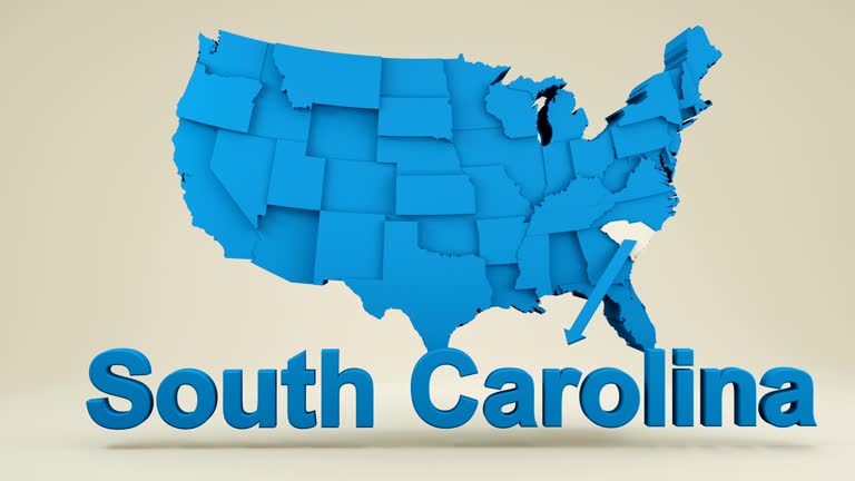
usa, state of south carolina - texas state map stock videos & royalty-free footage00:08USA, State of South CarolinaMap
air quality in texas, usa, 2005-2014 - texas state map stock videos & royalty-free footage00:15Air quality in Texas, USA, 2005-2014Map, Wind, Texas
paris (important capitals) - texas state map stock videos & royalty-free footage00:06Paris (important capitals)
template for vote counting in the state of texas - texas state map stock videos & royalty-free footage00:12Template for vote counting in the state of Texas
california congressman kevin kiley says in house floor remarks that the redistricting war had spun totally out of control with new maps enacted in... - texas state map stock videos & royalty-free footage01:18Congressman Kiley says redistricting war has spun out of control across more than 20 states and calls on members to sign discharge petition to ban middecade gerrymanders
texas congressman christian menefee says during a special orders house floor discussion with members of the congressional black caucus in response to... - texas state map stock videos & royalty-free footage01:31Congressman Menefee says right to vote under grave attack where Supreme Court opened door and Republicans are running straight through it after Callais ruling
rain drenched parts of the texas gulf coast on november 22, as a cold front swept through the state. footage captured by @stormchaserhtx shows heavy... - texas state map stock videos & royalty-free footage00:34Cold Front Brings Scattered Showers to Texas Gulf Coast
california congressman kevin kiley says in house floor remarks that then was the moment to bring the senseless redistricting war to an end, and today... - texas state map stock videos & royalty-free footage01:07Congressman Kiley remarks on bill introduced to ban mid-decade redistricting in every state
house minority leader hakeem jeffries says, "it was as clear as day that donald trump and republicans. violated the 14th and the 15th amendments of... - texas state map stock videos & royalty-free footage00:45Democratic Leader Jeffries Holds News Conference At US CapitolJeffrey Epstein - Financier
christopher tackett, a texas political activist, discusses the potential implications of an attempt by the state's republicans to redraw... - texas state map stock videos & royalty-free footage02:28CLEAN : Texas activist discusses Republican effort to redraw congressional map
ken martin, chairman of the democratic national committee and rep. lizzie fletcher speak about fighting in court and defending that this map was drew... - texas state map stock videos & royalty-free footage00:37SPEECH - Texas Democratic Lawmakers Flee State In Effort To Halt Redistricting Legislation
neighborhood in leander, texas, remained cut off from surrounding areas days after deadly flooding damaged its only bridge on saturday, july 5. this... - texas state map stock videos & royalty-free footage01:24Texas Neighborhood Remains Cut Off Days After Deadly Flooding Shifts Only Bridge
pilot jimmie mattern standing in front of map getting ready to speak; sot: this year is tenth anniversary of [charles] lindbergh's flight from new... - texas state map stock videos & royalty-free footage01:51US pilot Jimmie Mattern speaks about proposed air race from US to FranceParis - France
drone footage taken in rio hondo, texas, captured the extent of flooding after a night of heavy rain on friday, march 28. this video, by eye in the... - texas state map stock videos & royalty-free footage02:04Drone Footage Reveals the Extent of Flooding in Southern Texas
minnesota's new flag - texas state map stock videos & royalty-free footage00:35Minnesota's new flagVermont
floodwaters surrounded homes in coleman, texas, on monday, september 2, as https://x.com/nwssanangelo/status/1830706131205005761 heavy rain lashed... - texas state map stock videos & royalty-free footage03:29Floodwaters Surround Homes in Central Texas
tropical storm beryl battered downtown houston, bringing heavy rain and flooding as it tracked north over texas on monday,... - texas state map stock videos & royalty-free footage03:46Drone Footage Shows Swamped Roads in Houston After Beryl
... - texas state map stock videos & royalty-free footage00:40Wind-Driven Rain Whips Southeast Texas as Hurricane Beryl Makes Landfall2024 Hurricane Beryl
power lines sparked behind a home in dallas, texas, on the morning of may 28, as severe storms ripped through the region. a... - texas state map stock videos & royalty-free footage01:28Power Lines Spark as Severe Storms Rip Through Dallas
//x.com/peterc428/status/1794946048793751784 weather watchers , https://x.com/reedtimmerusa/status/1794897497799934308 storm chasers , and... - texas state map stock videos & royalty-free footage00:37'Look at Her Go!': Tornado on the Ground in Kentucky During Weekend of Severe WeatherAndy Beshear, Tornado
trash can was washed away by floodwaters in waco, texas, on wednesday, may 22, as https://x.com/nwsfortworth/status/1793445906240393313 severe... - texas state map stock videos & royalty-free footage01:00Trash Can Floats Down Flooded Waco Street
drone video captured on thursday, march 7, shows at least 30 migrants who had crossed the rio grande from mexico into eagle pass, texas, where they... - texas state map stock videos & royalty-free footage01:12Drone Video Shows Migrant Group After Crossing Rio Grande at Eagle Pass
local in texas filmed video showing the extent of damage in fritch, on february 28, after wildfires ripped through parts of the state. texas... - texas state map stock videos & royalty-free footage01:13Fritch Local Surveys Damage as Fast Moving Fire Scorches Texas
large wall cloud was seen moving through waco, texas, as https://twitter.com/nwsfortworth/status/1651365872299290624 several training supercells... - texas state map stock videos & royalty-free footage01:01Wall Cloud Rolls Through Central Texas Amid Severe Storms
group of playful pups frolicked through a flooded yard in dallas, texas, amid... - texas state map stock videos & royalty-free footage01:29Playful Dogs Frolic in Flooded Dallas Yard
"dems close ranks behind nominees" superimposed over democratic convention / high angle convention floor at the international amphitheatre / vs vp... - texas state map stock videos & royalty-free footage01:59Democratic National Convention in Chicago; delegates and candidates arrive for Republican National Convention in San Francisco; 1956Election, Confetti, Chicago - Illinois
the westward movement iv - texas and the mexican war - part 28 of 31. the film reviews the causes of the texas settlers' revolt, which led to independence for texas; ties the annexation of texas to issues of slavery and territorial expansion. it points o - texas state map stock videos & royalty-free footage00:32The Westward Movement IV - Texas and the Mexican War - part 28 of 31. The film reviews the causes of the Texas settlers' revolt, which led to independence for Texas; ties the annexation of Texas to issues of slavery and territorial expansion. It points o
colorful puzzle usa map - texas state map stock videos & royalty-free footage00:11Colorful Puzzle USA Map
texas city road sign over cloudy sky - stok video - texas state map stock videos & royalty-free footage00:20Texas city road sign over cloudy sky - Stok video
panning drone view of the texas border, state line marker coming from anthony, new mexico entering el paso county - texas state map stock videos & royalty-free footage00:12Panning Drone View of the Texas Border, State Line Marker Coming From Anthony, New Mexico Entering El Paso CountyEl Paso - Texas
panning drone view of the texas border, state line marker coming from anthony, new mexico entering el paso county - texas state map stock videos & royalty-free footage00:08Panning Drone View of the Texas Border, State Line Marker Coming From Anthony, New Mexico Entering El Paso CountyEl Paso - Texas
panning drone view of the texas border, state line marker coming from anthony, new mexico entering el paso county - texas state map stock videos & royalty-free footage00:08Panning Drone View of the Texas Border, State Line Marker Coming From Anthony, New Mexico Entering El Paso CountyDallas - Texas, Driving, Sign
panning drone view of the texas border, state line marker coming from anthony, new mexico entering el paso county - texas state map stock videos & royalty-free footage00:08Panning Drone View of the Texas Border, State Line Marker Coming From Anthony, New Mexico Entering El Paso CountyEl Paso - Texas
panning drone view of the texas border, state line marker coming from anthony, new mexico entering el paso county - texas state map stock videos & royalty-free footage00:09Panning Drone View of the Texas Border, State Line Marker Coming From Anthony, New Mexico Entering El Paso CountySign, El Paso - Texas, Texas
panning drone view of the texas border, state line marker coming from anthony, new mexico entering el paso county - texas state map stock videos & royalty-free footage00:09Panning Drone View of the Texas Border, State Line Marker Coming From Anthony, New Mexico Entering El Paso CountySign, El Paso - Texas, Texas
panning drone view of the texas border, state line marker coming from anthony, new mexico entering el paso county - texas state map stock videos & royalty-free footage00:08Panning Drone View of the Texas Border, State Line Marker Coming From Anthony, New Mexico Entering El Paso CountyEl Paso - Texas, Driving
panning drone view of the texas border, state line marker coming from anthony, new mexico entering el paso county - texas state map stock videos & royalty-free footage00:09Panning Drone View of the Texas Border, State Line Marker Coming From Anthony, New Mexico Entering El Paso CountyEl Paso - Texas
panning drone view of the texas border, state line marker coming from anthony, new mexico entering el paso county - texas state map stock videos & royalty-free footage00:08Panning Drone View of the Texas Border, State Line Marker Coming From Anthony, New Mexico Entering El Paso County
panning drone view of the texas border, state line marker coming from anthony, new mexico entering el paso county - texas state map stock videos & royalty-free footage00:09Panning Drone View of the Texas Border, State Line Marker Coming From Anthony, New Mexico Entering El Paso CountyEl Paso - Texas, Sign, Texas
close up view of the texas border, state line marker coming from anthony, new mexico entering el paso county, el paso, texas, drone view - texas state map stock videos & royalty-free footage00:08Close Up View Of The Texas Border, State Line Marker Coming From Anthony, New Mexico Entering El Paso County, El Paso, Texas, Drone ViewHouston, Road