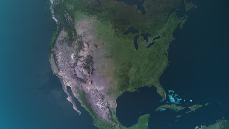
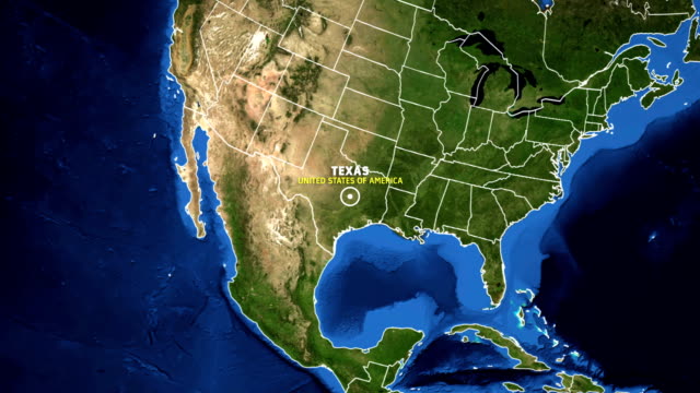
zoom from earth to texas - mexico border. satellite view of usa, epic photo real 4k resolution, realistic globe zoom-in from outer space to the city. the concept of highlighting the country in aerial view, tourism, journey, cityscape, border, barrier - us texas map stock videos & royalty-free footage00:20Zoom from Earth to Texas - Mexico border. Satellite view of USA, Epic photo real 4K resolution, Realistic globe zoom-in from outer space to the city. The concept of highlighting the country in aerial view, tourism, journey, cityscape, border, barrierMap, USA, Texas
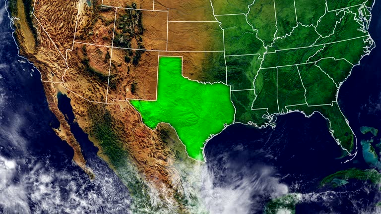
zoom in to texas, us from earth. satellite view of the united states of america. cinematic world map animation from outer space to territories. the concept of usa, highlight, globe, aerial view, tourism, travel, journey, cityscape - us texas map stock videos & royalty-free footage00:16Zoom in to Texas, US from Earth. Satellite view of the United States of America. Cinematic world map animation from outer space to territories. The concept of USA, highlight, globe, aerial view, tourism, travel, journey, cityscapeTexas, Map, Globe - Navigational Equipment
map of texas united states america usa, 3d animation - us texas map stock videos & royalty-free footage00:07Map of TEXAS United States America USA, 3D AnimationTexas, Map, USA
united states map, zooming in from the space through a 4k photo real animated globe, with a panoramic view consisting of africa, west europe and usa. epic spinning world animation, realistic planet earth, highlight, satellite, aerial, - us texas map stock videos & royalty-free footage00:14United States map, zooming in from the space through a 4K photo real animated globe, with a panoramic view consisting of Africa, West Europe and USA. Epic spinning world animation, Realistic planet earth, highlight, satellite, aerial,Globe - Navigational Equipment, Map, USA
usa animated map. detailed map with divided states. - us texas map stock videos & royalty-free footage00:10USA animated map. Detailed map with divided states.USA, Map, American Culture
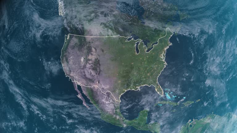
usa map highlighted with border and country name, zooming in from the space through a 4k photo real animated globe, with a panoramic view consisting of africa, west europe and usa. realistic epic spinning world animation, united states of america, - us texas map stock videos & royalty-free footage00:16USA map highlighted with border and country name, zooming in from the space through a 4K photo real animated globe, with a panoramic view consisting of Africa, West Europe and USA. Realistic epic spinning world animation, United States of America,USA, Globe - Navigational Equipment, Map
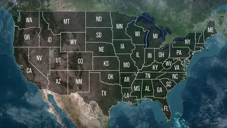
zoom in to united states from earth. highlighted us state abbreviations, satellite view of the us of america. cinematic world map animation from outer space to territories. the concept of usa, highlight, globe, aerial view, - us texas map stock videos & royalty-free footage00:20Zoom in to United States from Earth. Highlighted US State Abbreviations, Satellite view of the US of America. Cinematic world map animation from outer space to territories. The concept of USA, highlight, globe, aerial view,USA, Map, Globe - Navigational Equipment
highlighted united states map, zooming in from the space through a 4k photo real animated globe, with a panoramic view consisting of africa, west europe and usa. epic spinning world animation, realistic planet earth, highlight, satellite, aerial - us texas map stock videos & royalty-free footage00:16Highlighted United States map, zooming in from the space through a 4K photo real animated globe, with a panoramic view consisting of Africa, West Europe and USA. Epic spinning world animation, Realistic planet earth, highlight, satellite, aerialUSA, Map, Globe - Navigational Equipment
the westward movement iv - texas and the mexican war - part 2 of 31. the film reviews the causes of the texas settlers' revolt, which led to independence for texas; ties the annexation of texas to issues of slavery and territorial expansion. it points ou - us texas map stock videos & royalty-free footage00:32The Westward Movement IV - Texas and the Mexican War - part 2 of 31. The film reviews the causes of the Texas settlers' revolt, which led to independence for Texas; ties the annexation of Texas to issues of slavery and territorial expansion. It points ouTexas, Map, Landscape - Scenery
texas from usa states - us texas map stock videos & royalty-free footage00:13Texas from USA StatesTexas, Map, Dallas - Texas
zoom in to united states from earth. highlighted us state abbreviations, satellite view of the us of america. cinematic world map animation from outer space to territories. the concept of usa, highlight, globe, aerial view, - us texas map stock videos & royalty-free footage00:20Zoom in to United States from Earth. Highlighted US State Abbreviations, Satellite view of the US of America. Cinematic world map animation from outer space to territories. The concept of USA, highlight, globe, aerial view,Map, USA, Texas
zoom from earth to texas - mexico border. satellite view of usa, epic photo real 4k resolution, realistic globe zoom-in from outer space to the city. the concept of highlighting the country in aerial view, tourism, journey, cityscape, border, barrier - us texas map stock videos & royalty-free footage00:20Zoom from Earth to Texas - Mexico border. Satellite view of USA, Epic photo real 4K resolution, Realistic globe zoom-in from outer space to the city. The concept of highlighting the country in aerial view, tourism, journey, cityscape, border, barrierUSA, Map, American Culture
texas from usa states - us texas map stock videos & royalty-free footage00:14Texas from USA StatesTexas, Map, Dallas - Texas
zoom in to texas, us from earth. satellite view of the united states of america. cinematic world map animation from outer space to territories. the concept of highlight the state, globe, tourism, travel, journey, aerial view of country, usa - us texas map stock videos & royalty-free footage00:16Zoom in to Texas, US from Earth. Satellite view of the United States of America. Cinematic world map animation from outer space to territories. The concept of highlight the state, globe, tourism, travel, journey, aerial view of country, USATexas, Map, Dallas - Texas
the westward movement iv - texas and the mexican war - part 29 of 31. the film reviews the causes of the texas settlers' revolt, which led to independence for texas; ties the annexation of texas to issues of slavery and territorial expansion. it points o - us texas map stock videos & royalty-free footage00:28The Westward Movement IV - Texas and the Mexican War - part 29 of 31. The film reviews the causes of the Texas settlers' revolt, which led to independence for Texas; ties the annexation of Texas to issues of slavery and territorial expansion. It points o
united states - zoom on world map. animated shape vector map of united states. 4k video footage. motion graphics - us texas map stock videos & royalty-free footage00:08United States - Zoom on World Map. Animated Shape Vector Map of United States. 4K Video Footage. Motion GraphicsMap, Boston - Massachusetts, New York City
usa animated map with divided states including hawaii and alaska. 4k - us texas map stock videos & royalty-free footage00:10USA animated map with divided states including Hawaii and Alaska. 4kUSA, Map, American Culture
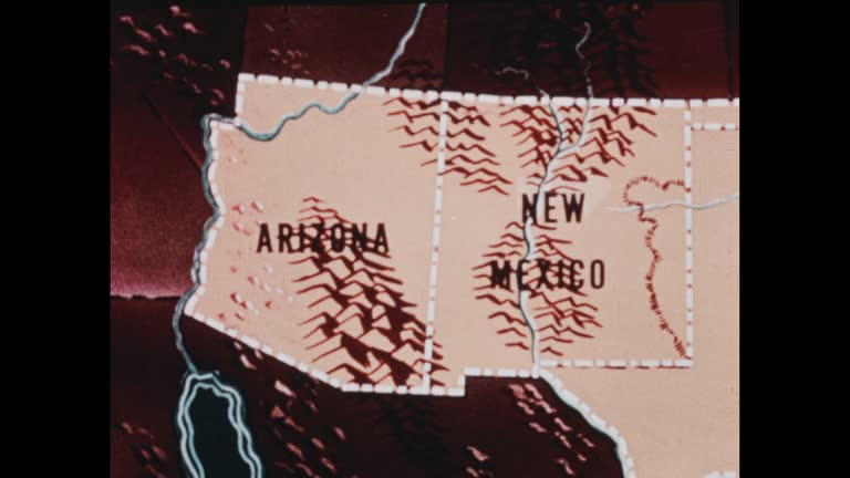
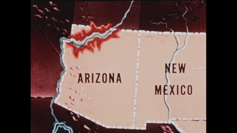
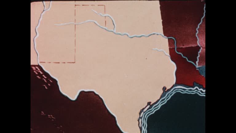
southwestern states (2nd edition) - part 1 of 19. traces population trends and explains geographical features by means of animated maps. illustrates such occupational activities as irrigation, stock raising, agriculture, mining, and oil extracting and ref - us texas map stock videos & royalty-free footage00:29Southwestern States (2nd edition) - part 1 of 19. Traces population trends and explains geographical features by means of animated maps. Illustrates such occupational activities as irrigation, stock raising, agriculture, mining, and oil extracting and refMap, USA, New Mexico
north america map, zooming out into the space through a 4k photo real animated globe, with a panoramic view consisting of africa, west europe and usa. epic spinning world animation, realistic planet earth, highlight, satellite, aerial, - us texas map stock videos & royalty-free footage00:09North America map, zooming out into the space through a 4K photo real animated globe, with a panoramic view consisting of Africa, West Europe and USA. Epic spinning world animation, Realistic planet earth, highlight, satellite, aerial,USA, Map, Globe - Navigational Equipment
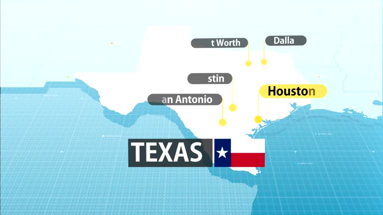
texas state map - us texas map stock videos & royalty-free footage00:20Texas State MapMap, City, Houston
president donald trump signed a series of executive actions, memoranda, and proclamations on his first day in office, covering a wide range of... - us texas map stock videos & royalty-free footage00:25MOTIONGRAPHIC - Trump renames Gulf of Mexico to 'Gulf of America'Gulf of Mexico, Map, Mexico
zoom in to texas, us from earth. satellite view of the united states of america. cinematic world map animation from outer space to territories. the concept of usa, highlight, globe, aerial view, tourism, travel, journey, cityscape - us texas map stock videos & royalty-free footage00:16Zoom in to Texas, US from Earth. Satellite view of the United States of America. Cinematic world map animation from outer space to territories. The concept of USA, highlight, globe, aerial view, tourism, travel, journey, cityscapeMap, Houston, Satellite View
panning drone view of the texas border, state line marker coming from anthony, new mexico entering el paso county - us texas map stock videos & royalty-free footage00:06Panning Drone View of the Texas Border, State Line Marker Coming From Anthony, New Mexico Entering El Paso CountyTexas, Driving, Dallas - Texas
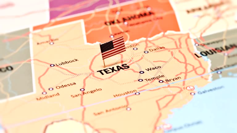
pushpin on map - us texas map stock videos & royalty-free footage00:20Pushpin on mapMap, Push Pin, Dallas - Texas
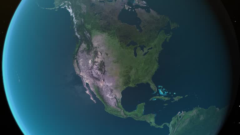
north america map, zooming in from the space through a 4k photo real animated globe, with a panoramic view consisting of africa, west europe and usa. epic spinning world animation, realistic planet earth, highlight, satellite, aerial, - us texas map stock videos & royalty-free footage00:14North America map, zooming in from the space through a 4K photo real animated globe, with a panoramic view consisting of Africa, West Europe and USA. Epic spinning world animation, Realistic planet earth, highlight, satellite, aerial,Globe - Navigational Equipment, Planet - Space, North America
north america map, zooming out into the space through a 4k photo real animated globe, with a panoramic view consisting of africa, west europe and usa. epic spinning world animation, realistic planet earth, highlight, satellite, aerial, - us texas map stock videos & royalty-free footage00:09North America map, zooming out into the space through a 4K photo real animated globe, with a panoramic view consisting of Africa, West Europe and USA. Epic spinning world animation, Realistic planet earth, highlight, satellite, aerial,Globe - Navigational Equipment, Zoom Out, USA
texas map usa - earth zoom - us texas map stock videos & royalty-free footage00:11TEXAS Map USA - Earth ZoomTexas, Satellite View, World Map
recounts the history of texas and the southwest from the sixteenth to the mid-nineteenth century - us texas map stock videos & royalty-free footage00:401950s: Men in period clothing on horseback. Men walk to edge of cliffMexico, Map, Landscape - Scenery
the united states of america (usa map from space showing topography. world map showing usa geography. - us texas map stock videos & royalty-free footage00:08The United States of America (USA Map from space showing topography. World map showing USA geography.Globe - Navigational Equipment, Satellite View, Planet - Space
zoom in to texas, us from earth. satellite view of the united states of america. cinematic world map animation from outer space to territories. the concept of usa, highlight, globe, aerial view, tourism, travel, journey, cityscape - us texas map stock videos & royalty-free footage00:16Zoom in to Texas, US from Earth. Satellite view of the United States of America. Cinematic world map animation from outer space to territories. The concept of USA, highlight, globe, aerial view, tourism, travel, journey, cityscapeTexas, Map, Globe - Navigational Equipment
3d representation of the united states with colorful state boundaries and elevations showcased in a visual display. 3d animation - us texas map stock videos & royalty-free footage00:083D representation of the United States with colorful state boundaries and elevations showcased in a visual display. 3D animationUSA, Map, American Culture
usa animated map. detailed map with divided states. - us texas map stock videos & royalty-free footage00:10USA animated map. Detailed map with divided states.Map, USA, American Culture
highlighted dark map of united states, zooming in from the space through a 4k photo real animated globe, with a panoramic view consisting of africa, north and south america. epic spinning world animation, realistic planet earth, highlight, satellite, - us texas map stock videos & royalty-free footage00:16Highlighted dark map of United States, zooming in from the space through a 4K photo real animated globe, with a panoramic view consisting of Africa, North and South America. Epic spinning world animation, Realistic planet earth, highlight, satellite,Map, USA, Dark
texas state map with label then with out label - us texas map stock videos & royalty-free footage00:20Texas state map with label then with out labelTexas, Map
texas map - us texas map stock videos & royalty-free footage00:10TEXAS MAPTexas, Map, Physical Geography
destructive storms moved through central texas on the evening of wednesday, may 28, bringing damaging wind gusts, hail, and flooding, the... - us texas map stock videos & royalty-free footage00:25Stunning Aerial Footage Shows Severe Thunderstorm Approaching AustinTexas, Map
zoom in to texas, us from earth. satellite view of the united states of america. cinematic world map animation from outer space to territories. the concept of usa, highlight, globe, aerial view, tourism, travel, journey, cityscape - us texas map stock videos & royalty-free footage00:16Zoom in to Texas, US from Earth. Satellite view of the United States of America. Cinematic world map animation from outer space to territories. The concept of USA, highlight, globe, aerial view, tourism, travel, journey, cityscapeTexas, Map, Outer Space
the westward movement iv - texas and the mexican war - part 27 of 31. the film reviews the causes of the texas settlers' revolt, which led to independence for texas; ties the annexation of texas to issues of slavery and territorial expansion. it points o - us texas map stock videos & royalty-free footage00:35The Westward Movement IV - Texas and the Mexican War - part 27 of 31. The film reviews the causes of the Texas settlers' revolt, which led to independence for Texas; ties the annexation of Texas to issues of slavery and territorial expansion. It points oMap, War
cu. young couple follow walking directions using map on smartphone while exploring downtown austin, texas. - us texas map stock videos & royalty-free footage00:23CU. Young couple follow walking directions using map on smartphone while exploring downtown Austin, Texas.Global Positioning System, Direction, Map
young woman moves map around with her fingers on smartphone touchscreen - us texas map stock videos & royalty-free footage00:06Young woman moves map around with her fingers on smartphone touchscreenMap, Global Positioning System, Mobile App
texas flag and map of texas zoomed to earth from space, real-time photo-animation. - us texas map stock videos & royalty-free footage00:21Texas flag and map of Texas zoomed to earth from space, real-time photo-animation.Texas, Map, Globe - Navigational Equipment
zoom in to houston, texas, united states from earth. satellite view of the usa. cinematic world map animation from outer space to territories. the concept of highlight the cities, globe, tourism, travel, aerial view of country - us texas map stock videos & royalty-free footage00:16Zoom in to Houston, Texas, United States from Earth. Satellite view of the USA. Cinematic world map animation from outer space to territories. The concept of highlight the cities, globe, tourism, travel, aerial view of countryHouston, Satellite View, Texas
panning drone view of the texas border, state line marker coming from anthony, new mexico entering el paso county - us texas map stock videos & royalty-free footage00:06Panning Drone View of the Texas Border, State Line Marker Coming From Anthony, New Mexico Entering El Paso CountyTexas, Map, El Paso - Texas
usa, state of texas - us texas map stock videos & royalty-free footage00:08USA, State of TexasMap, USA
zoom in to dallas, texas, united states from earth. satellite view of the usa. cinematic world map animation from outer space to territories. the concept of highlight the cities, globe, tourism, travel, aerial view of country - us texas map stock videos & royalty-free footage00:16Zoom in to Dallas, Texas, United States from Earth. Satellite view of the USA. Cinematic world map animation from outer space to territories. The concept of highlight the cities, globe, tourism, travel, aerial view of countryMap, Dallas - Texas, Texas
travel background - us texas map stock videos & royalty-free footage00:10Travel BackgroundAeroplane, Flying, World Map
united states - zoom on world map. animated shape vector map of united states. 4k video footage. motion graphics - us texas map stock videos & royalty-free footage00:08United States - Zoom on World Map. Animated Shape Vector Map of United States. 4K Video Footage. Motion GraphicsMap, North America, Outline
union station in chicago, illinois - us texas map stock videos & royalty-free footage00:09Union Station in Chicago, IllinoisMap, USA, Rail Transportation
southwestern states (2nd edition) - part 2 of 19. traces population trends and explains geographical features by means of animated maps. illustrates such occupational activities as irrigation, stock raising, agriculture, mining, and oil extracting and ref - us texas map stock videos & royalty-free footage00:30Southwestern States (2nd edition) - part 2 of 19. Traces population trends and explains geographical features by means of animated maps. Illustrates such occupational activities as irrigation, stock raising, agriculture, mining, and oil extracting and refMap, Archival, Old-fashioned
3d us population map 3 - us texas map stock videos & royalty-free footage00:283D US Population Map 3Map, USA, Rural Scene
map of 'republic of texas' animation changing to 'texas' joining the u.s.a. - us texas map stock videos & royalty-free footage00:03Map TexasTexas
usa topographic map space view - us texas map stock videos & royalty-free footage00:08USA topographic map Space viewOuter Space, Texas, Map
severe weather is expected to impact large portions of the united states this week, with violent thunderstorms forecast to sweep across the... - us texas map stock videos & royalty-free footage00:14MOTION GRAPHIC - Severe storms to slam large parts of U.S.; tornadoes, hail and flooding possibleTornado, Map
puzzle usa map - us texas map stock videos & royalty-free footage00:11Puzzle USA MapUSA, Map, American Culture
texas border sign in new mexico - us texas map stock videos & royalty-free footage00:10Texas Border Sign in New MexicoTexas, Map, Driving
presents a general view of the geographic and economic features of the southwestern states of oklahoma, texas, new mexico, and arizona. the ways of... - us texas map stock videos & royalty-free footage00:331970s: Cowboy in chaps rides bucking bronco and falls off, hanging on to pommelRodeo, Wild West, Oklahoma
china / taiwan tensions:; d)naf at sea:extairv us aircraft carrier uss independence as aircraft launched pull outon boardla bv fighter launched from... - us texas map stock videos & royalty-free footage01:56China / Taiwan tensions:Taiwan, Sea
earth connections. us. aerial, maritime, ground routes and country borders - us texas map stock videos & royalty-free footage00:12Earth connections. US. Aerial, maritime, ground routes and country bordersMap, World Map, Washington DC
southwestern states (2nd edition) - part 10 of 19. traces population trends and explains geographical features by means of animated maps. illustrates such occupational activities as irrigation, stock raising, agriculture, mining, and oil extracting and re - us texas map stock videos & royalty-free footage00:37Southwestern States (2nd edition) - part 10 of 19. Traces population trends and explains geographical features by means of animated maps. Illustrates such occupational activities as irrigation, stock raising, agriculture, mining, and oil extracting and re
southwestern states (2nd edition) - part 9 of 19. traces population trends and explains geographical features by means of animated maps. illustrates such occupational activities as irrigation, stock raising, agriculture, mining, and oil extracting and ref - us texas map stock videos & royalty-free footage00:33Southwestern States (2nd edition) - part 9 of 19. Traces population trends and explains geographical features by means of animated maps. Illustrates such occupational activities as irrigation, stock raising, agriculture, mining, and oil extracting and refArizona, Archival, Map
young couple search on smartphone while walking through urban downtown - us texas map stock videos & royalty-free footage00:10Young couple search on smartphone while walking through urban downtownMobile App, Dating, Global Positioning System
panning drone view of the texas border, state line marker coming from anthony, new mexico entering el paso county - us texas map stock videos & royalty-free footage00:08Panning Drone View of the Texas Border, State Line Marker Coming From Anthony, New Mexico Entering El Paso CountyTexas, El Paso - Texas, Map
aerial footage of newfoundland / ships uss pokonoke, destroyer uss buck, cruiser vincennes, battleship texas sighted from plane / new naval base... - us texas map stock videos & royalty-free footage02:44Naval Station Argentia Being Built, Lend Lease Convoys AssistedBattleship, Texas, Map
weather map animation - south-eastern usa - us texas map stock videos & royalty-free footage00:28Weather map animation - south-eastern USAWeather Map, South Carolina, Wind
southwestern states (2nd edition) - part 11 of 19. traces population trends and explains geographical features by means of animated maps. illustrates such occupational activities as irrigation, stock raising, agriculture, mining, and oil extracting and re - us texas map stock videos & royalty-free footage00:33Southwestern States (2nd edition) - part 11 of 19. Traces population trends and explains geographical features by means of animated maps. Illustrates such occupational activities as irrigation, stock raising, agriculture, mining, and oil extracting and reTexas, Old-fashioned, Rural Scene
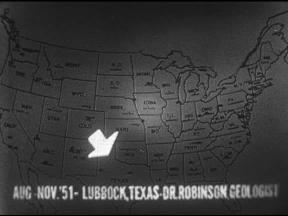
united states map w/ pins, unexplained: highlighting area, 1951 downy, california technical writer ed sullivan telling his eyewitness account, four... - us texas map stock videos & royalty-free footage01:141952: UFO SIGHTINGS MAP: United States map w/ pins, UNEXPLAINED: Highlighting area, 1951 Downy, California technical writer Ed Sullivan telling his eyewitness account, four objects, 1951Lubbock, Texas, professors see lights, VS student photograph.UFO, 1950-1959, Map
travel airlines - us texas map stock videos & royalty-free footage00:29Travel airlinesMap, London - England, Dubai
4k, digital glitch intro world map with united states - us texas map stock videos & royalty-free footage00:124K, Digital Glitch Intro World Map with United StatesMap, Outline, Direction
rep. terri sewell says, "just two years ago, the supreme court decided in the milligan case that my home state of alabama violated the voting rights... - us texas map stock videos & royalty-free footage01:04House Democratic Leaders Hold Press Conference Ahead Of TX Redistricting HearingsSupreme Court, Map, Texas
southwestern states (2nd edition) - part 16 of 19. traces population trends and explains geographical features by means of animated maps. illustrates such occupational activities as irrigation, stock raising, agriculture, mining, and oil extracting and re - us texas map stock videos & royalty-free footage00:35Southwestern States (2nd edition) - part 16 of 19. Traces population trends and explains geographical features by means of animated maps. Illustrates such occupational activities as irrigation, stock raising, agriculture, mining, and oil extracting and rePipeline, Crude Oil, Texas
"has world too many people?" / various shots crowd in street in china / looking down on crowd in india / crowd in nyc / animated whirling globe... - us texas map stock videos & royalty-free footage02:14Animation of populations fitting into geographical areasIndia, Globe - Navigational Equipment, Map
cu slo mo computer screen displaying various maps / johnson city, texas, usa - us texas map stock videos & royalty-free footage00:22CU SLO MO Computer screen displaying various maps / Johnson City, Texas, USAMap, Texas
1963 reenactment ws pan american settler pioneers mapping out new land / 1820s texas / audio - us texas map stock videos & royalty-free footage00:111963 REENACTMENT WS PAN American settler pioneers mapping out new land / 1820s Texas / AUDIO
trade block; usa texas brownsvillecs reeds blowing in wind pull focus to waters of rio grande river flowing in b/ggv river flowing past group of... - us texas map stock videos & royalty-free footage04:53Trade blockMexico, USA, Factory
usa map by states (7 of 8) sc, sd, tn, tx, ut, vt. loopable. - us texas map stock videos & royalty-free footage00:54USA map by states (7 of 8) SC, SD, TN, TX, UT, VT. Loopable.Map, Tennessee, USA
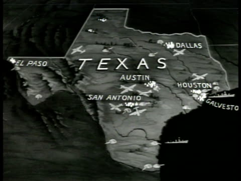
map of texas, animated airplane & army icons . wwii - us texas map stock videos & royalty-free footage00:08Map Texas
map of mexico, animated land of 'republic of texas.' - us texas map stock videos & royalty-free footage00:09Map Republic of TexasMexico, Map, Newsreel
books 'stories of texas, romantic story of texas, almanac 1941-42...' int children in classroom, elementary school, female teacher at blackboard.... - us texas map stock videos & royalty-free footage00:12Texas education classroomTexas, Map, Teacher