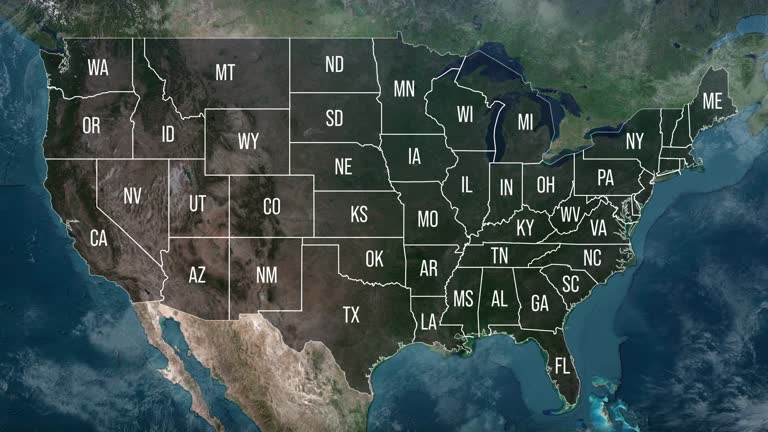
zoom in to united states from earth. highlighted us state abbreviations, satellite view of the us of america. cinematic world map animation from outer space to territories. the concept of usa, highlight, globe, aerial view, - utah state map stock videos & royalty-free footage00:20Zoom in to United States from Earth. Highlighted US State Abbreviations, Satellite view of the US of America. Cinematic world map animation from outer space to territories. The concept of USA, highlight, globe, aerial view,USA, Map, Globe - Navigational Equipment
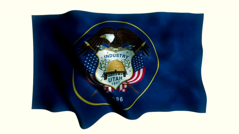
utah state new flag animation - utah state map stock videos & royalty-free footage00:35Utah State New Flag AnimationFlag, Utah, Backgrounds
zoom in to utah, us from earth. satellite view of the united states of america. cinematic world map animation from outer space to territories. the concept of highlight the state, globe, tourism, travel, journey, aerial view of country, usa - utah state map stock videos & royalty-free footage00:16Zoom in to Utah, US from Earth. Satellite view of the United States of America. Cinematic world map animation from outer space to territories. The concept of highlight the state, globe, tourism, travel, journey, aerial view of country, USAUtah, Salt Lake City, Tourism
unusual patterns were seen along the shore of utah's great salt lake recently, amid a... - utah state map stock videos & royalty-free footage00:43'Crazy' Patterns Along Great Salt Lake Shore Amid Utah DroughtUtah, Great Salt Lake
northwestern states (2nd edition) - part 7 of 19. represents the northwestern states as the "breadbasket of the nation" and stresses the importance of their agricultural and mineral resources. animated maps illustrate the region's geographical characteris - utah state map stock videos & royalty-free footage00:33Northwestern States (2nd edition) - part 7 of 19. Represents the Northwestern States as the "breadbasket of the nation" and stresses the importance of their agricultural and mineral resources. Animated maps illustrate the region's geographical characterisUSA, Butte - Montana, Map
northwestern states (2nd edition) - part 2 of 19. represents the northwestern states as the "breadbasket of the nation" and stresses the importance of their agricultural and mineral resources. animated maps illustrate the region's geographical characteris - utah state map stock videos & royalty-free footage00:31Northwestern States (2nd edition) - part 2 of 19. Represents the Northwestern States as the "breadbasket of the nation" and stresses the importance of their agricultural and mineral resources. Animated maps illustrate the region's geographical characterisGrass, Map, Kansas
northwestern states (2nd edition) - part 6 of 19. represents the northwestern states as the "breadbasket of the nation" and stresses the importance of their agricultural and mineral resources. animated maps illustrate the region's geographical characteris - utah state map stock videos & royalty-free footage00:30Northwestern States (2nd edition) - part 6 of 19. Represents the Northwestern States as the "breadbasket of the nation" and stresses the importance of their agricultural and mineral resources. Animated maps illustrate the region's geographical characterisMormonism, 1950-1959, Map
zoom in to the map of utah state - utah state map stock videos & royalty-free footage00:09Zoom in to the map of Utah state
utah senator mike lee asks article iii project senior counsel will chamberlain if prior misreadings of section 2 of voting rights act tend to push... - utah state map stock videos & royalty-free footage02:04Senator Lee discusses interpretations of Voting Rights Act encouraged race-conscious mapmaking and racial stereotyping at hearing on Callais redistricting decision with advocate at hearing
vibrant orange and red foliage sprawled across butterfield canyon in salt lake county, utah, as parts of the state hit... - utah state map stock videos & royalty-free footage02:08Autumnal Colors Spread Across Northern Utah
vibrant orange and red foliage sprawled across butterfield canyon in salt lake county, utah, as parts of the state hit... - utah state map stock videos & royalty-free footage02:18Vibrant Fall Foliage Sprawls Across Utah Canyon as Region Hits Peak Color
drone photographer in utah has recorded footage capturing the reddening of the woodland foliage as fall begins. chris williams said he recorded this... - utah state map stock videos & royalty-free footage04:40Fall Colors Creep Across Utah Woodland
drone captured reddening foliage at fish lake in utah, as trees in parts of the state were nearing their peak seasonal colors, according to... - utah state map stock videos & royalty-free footage02:17Drone Captures Fall Foliage Around Utah LakeDrone
heavy rain caused flooding in the streets of draper, utah, on august 3, as thunderstorms affected the state for the... - utah state map stock videos & royalty-free footage01:05Roads Closed as Heavy Rain Causes Flooding in Northern Utah
a solar farm just off the highway in the high desert of western colorado near the utah state line - utah state map stock videos & royalty-free footage00:13A Solar Farm Just Off The Highway In The High Desert Of Western Colorado Near The Utah State LineColorado
utah city road sign over cloudy sky - stok video - utah state map stock videos & royalty-free footage00:20Utah city road sign over cloudy sky - Stok video