bathymetric map on modern fishing vessel, south georgia - seabed mapping stock videos & royalty-free footage00:11Bathymetric map on modern fishing vessel, South GeorgiaMap, Seabed, Computer Monitor
animation of the wave heights of the 2004 indian ocean tsunami. - seabed mapping stock videos & royalty-free footage00:17Animation of the wave heights of the 2004 Indian Ocean tsunami.Earthquake, Tsunami, Indian Ocean
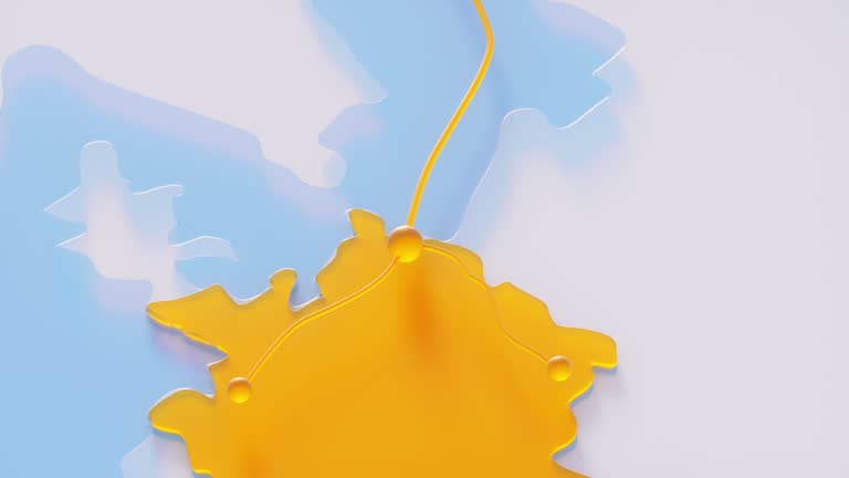
the main gas pipeline nord stream two between germany and russia. 3d render animation - seabed mapping stock videos & royalty-free footage00:16The main gas pipeline Nord Stream Two between Germany and Russia. 3d render animationCrude Oil, Gas, Natural Gas
old small ship at sea, open waters stock video - seabed mapping stock videos & royalty-free footage00:10Old small ship at sea, open waters stock videoSeabed
the main gas pipeline nord stream two between germany and russia. 3d render animation - seabed mapping stock videos & royalty-free footage00:16The main gas pipeline Nord Stream Two between Germany and Russia. 3d render animationMap, Three Dimensional, 3D Animation
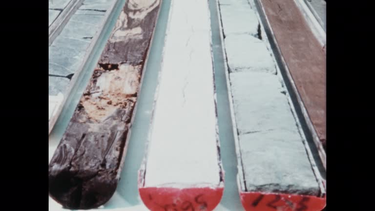
continental drift: the theory of plate tectonics- part 37 of 39. here's a comprehensive exploration of continental drift and its effect on the shapes and location of landmasses. outstanding location footage as well as concise diagrams, maps, and animation - seabed mapping stock videos & royalty-free footage00:36Continental Drift: The Theory of Plate Tectonics- part 37 of 39. Here's a comprehensive exploration of continental drift and its effect on the shapes and location of landmasses. Outstanding location footage as well as concise diagrams, maps, and animationMiddle East, Tectonic, Map
a hand points at a modern sonar fish finder screen on a boat displaying underwater depth data - seabed mapping stock videos & royalty-free footage00:05A Hand Points at a Modern Sonar Fish Finder Screen on a Boat Displaying Underwater Depth DataSonar, Fishing, Seabed
continental drift: the theory of plate tectonics- part 27 of 39. here's a comprehensive exploration of continental drift and its effect on the shapes and location of landmasses. outstanding location footage as well as concise diagrams, maps, and animation - seabed mapping stock videos & royalty-free footage00:30Continental Drift: The Theory of Plate Tectonics- part 27 of 39. Here's a comprehensive exploration of continental drift and its effect on the shapes and location of landmasses. Outstanding location footage as well as concise diagrams, maps, and animation
the main gas pipeline nord stream two between germany and russia. 3d render animation - seabed mapping stock videos & royalty-free footage00:16The main gas pipeline Nord Stream Two between Germany and Russia. 3d render animationMap, Europe, European Union
in this handout footage provided by u.s. department of defense, u.s. marines conduct a hydrographic survey to map the ocean floor at onslow beach,... - seabed mapping stock videos & royalty-free footage00:04U.S. Marine inputting data into handheld hydrographic survey equipmentSeabed, Instrument of Measurement
in this handout footage provided by u.s. department of defense, u.s. marines conduct a hydrographic survey to map the ocean floor at onslow beach,... - seabed mapping stock videos & royalty-free footage00:04Marines entering ocean with inflatable boat to conduct hydrographic surveySeabed, Instrument of Measurement
an operator watches screens showing radar scans, maps and camera images in the control room as the crawler machine sucks up sediment from the seabed... - seabed mapping stock videos & royalty-free footage01:13De Beers crawler tractor 5
undersea internet cables world map animation 4k vertical - seabed mapping stock videos & royalty-free footage00:15Undersea Internet Cables World Map Animation 4K Vertical
undersea internet cables world map animation 4k - seabed mapping stock videos & royalty-free footage00:15Undersea Internet Cables World Map Animation 4K
map puffer fish / indonesia - seabed mapping stock videos & royalty-free footage00:13map puffer fish / Indonesia
map puffer fish / indonesia - seabed mapping stock videos & royalty-free footage00:15map puffer fish / IndonesiaVenomous
map puffer fish / indonesia - seabed mapping stock videos & royalty-free footage00:19map puffer fish / Indonesia
marine biologists studied the growth of urchin larvae at a coral nursery in key largo as part of an initiative to regrow the corals and sea urchins... - seabed mapping stock videos & royalty-free footage04:10Biologist Raises Sea Urchins in Hopes of Restoring Florida's Devastated Coral ReefsSea Life, Coral Bleaching
the concept of nord stream between germany and russia. - seabed mapping stock videos & royalty-free footage00:15The concept of Nord Stream between Germany and Russia.Pipeline, Crude Oil
south african professional mermaid had a brief scare while swimming in a randburg https://www.crestashoppingcentre.co.za/crestaquarium/ shopping mall... - seabed mapping stock videos & royalty-free footage01:52Shopping Mall Mermaid Struggles For Air as Tail Catches in Aquarium
dazzling drone footage off the coast of kona, hawaii, captures a group of snorkelers getting an intimate view of manta rays feeding at night, video... - seabed mapping stock videos & royalty-free footage04:13Drone Footage Captures 'Mesmerizing' Manta Rays Feeding at Night Off Hawaiian CoastManta Ray
continental drift: the theory of plate tectonics- part 35 of 39. here's a comprehensive exploration of continental drift and its effect on the shapes and location of landmasses. outstanding location footage as well as concise diagrams, maps, and animation - seabed mapping stock videos & royalty-free footage00:33Continental Drift: The Theory of Plate Tectonics- part 35 of 39. Here's a comprehensive exploration of continental drift and its effect on the shapes and location of landmasses. Outstanding location footage as well as concise diagrams, maps, and animationTectonic, Animated Video, Map
continental drift: the theory of plate tectonics- part 34 of 39. here's a comprehensive exploration of continental drift and its effect on the shapes and location of landmasses. outstanding location footage as well as concise diagrams, maps, and animation - seabed mapping stock videos & royalty-free footage00:34Continental Drift: The Theory of Plate Tectonics- part 34 of 39. Here's a comprehensive exploration of continental drift and its effect on the shapes and location of landmasses. Outstanding location footage as well as concise diagrams, maps, and animation
continental drift: the theory of plate tectonics- part 31 of 39. here's a comprehensive exploration of continental drift and its effect on the shapes and location of landmasses. outstanding location footage as well as concise diagrams, maps, and animation - seabed mapping stock videos & royalty-free footage00:27Continental Drift: The Theory of Plate Tectonics- part 31 of 39. Here's a comprehensive exploration of continental drift and its effect on the shapes and location of landmasses. Outstanding location footage as well as concise diagrams, maps, and animationSubmarine, Archival, Science
continental drift: the theory of plate tectonics- part 30 of 39. here's a comprehensive exploration of continental drift and its effect on the shapes and location of landmasses. outstanding location footage as well as concise diagrams, maps, and animation - seabed mapping stock videos & royalty-free footage00:31Continental Drift: The Theory of Plate Tectonics- part 30 of 39. Here's a comprehensive exploration of continental drift and its effect on the shapes and location of landmasses. Outstanding location footage as well as concise diagrams, maps, and animationSubmarine, Science, Radio
continental drift: the theory of plate tectonics- part 29 of 39. here's a comprehensive exploration of continental drift and its effect on the shapes and location of landmasses. outstanding location footage as well as concise diagrams, maps, and animation - seabed mapping stock videos & royalty-free footage00:31Continental Drift: The Theory of Plate Tectonics- part 29 of 39. Here's a comprehensive exploration of continental drift and its effect on the shapes and location of landmasses. Outstanding location footage as well as concise diagrams, maps, and animationSubmarine, Archival, Science
continental drift: the theory of plate tectonics- part 28 of 39. here's a comprehensive exploration of continental drift and its effect on the shapes and location of landmasses. outstanding location footage as well as concise diagrams, maps, and animation - seabed mapping stock videos & royalty-free footage00:30Continental Drift: The Theory of Plate Tectonics- part 28 of 39. Here's a comprehensive exploration of continental drift and its effect on the shapes and location of landmasses. Outstanding location footage as well as concise diagrams, maps, and animation
continental drift: the theory of plate tectonics- part 26 of 39. here's a comprehensive exploration of continental drift and its effect on the shapes and location of landmasses. outstanding location footage as well as concise diagrams, maps, and animation - seabed mapping stock videos & royalty-free footage00:33Continental Drift: The Theory of Plate Tectonics- part 26 of 39. Here's a comprehensive exploration of continental drift and its effect on the shapes and location of landmasses. Outstanding location footage as well as concise diagrams, maps, and animationRadar, Ship, Science
continental drift: the theory of plate tectonics- part 25 of 39. here's a comprehensive exploration of continental drift and its effect on the shapes and location of landmasses. outstanding location footage as well as concise diagrams, maps, and animation - seabed mapping stock videos & royalty-free footage00:33Continental Drift: The Theory of Plate Tectonics- part 25 of 39. Here's a comprehensive exploration of continental drift and its effect on the shapes and location of landmasses. Outstanding location footage as well as concise diagrams, maps, and animation
ocean zone icons - vector animate - seabed mapping stock videos & royalty-free footage00:06Ocean Zone Icons - Vector AnimateIcon Symbol, Surfing, Beach
in this handout footage provided by u.s. department of defense, u.s. marines conduct a hydrographic survey to map the ocean floor at onslow beach,... - seabed mapping stock videos & royalty-free footage00:04Marines retrieve hydrographic survey equipment from sea from inflatable boat
in this handout footage provided by u.s. department of defense, u.s. marines conduct a hydrographic survey to map the ocean floor at onslow beach,... - seabed mapping stock videos & royalty-free footage00:04U.S. Marine setting up hydrographic survey equipment
in this handout footage provided by u.s. department of defense, u.s. marines conduct a hydrographic survey to map the ocean floor at onslow beach,... - seabed mapping stock videos & royalty-free footage00:04U.S. Marine placing hydrographic survey equipment on tripod on beach
ocean area icons - vector animate - seabed mapping stock videos & royalty-free footage00:06Ocean Area Icons - Vector AnimateWater
model of earth temperatures. nasa public domain imagery - seabed mapping stock videos & royalty-free footage00:21Model of Earth temperatures. Nasa Public Domain ImageryGlobe - Navigational Equipment, Heat - Temperature, Seabed